01
Destinations
Sapa to Y Ty: The Quieter Mountain Road Most Riders Skip
The 70km road from Sapa to Y Ty via Muong Hum market is slower, rougher, and far more rewarding than the standard O Quy Ho loop — if you know what you're getting into.
10 guides tagged y-ty — sort or switch view to find what fits.
The 70km road from Sapa to Y Ty via Muong Hum market is slower, rougher, and far more rewarding than the standard O Quy Ho loop — if you know what you're getting into.
The Sapa–Y Ty loop is one of northern Vietnam's least-crowded mountain circuits — three days of rice terraces, cloud seas, and border-ridge roads most tourists never find.
September and October open a short window when the terraces of Mu Cang Chai, Hoang Su Phi, Y Ty, and Pu Luong turn gold. Here is how to work all four in a week.
Muong Hum's weekly market draws Hmong, Dao, and Ha Nhi traders from the surrounding hills — and almost none of the tour buses that crowd Bac Ha on the same morning.
A 7-day photography itinerary through the northern terraces during the September–October harvest window, covering Mu Cang Chai, Hoang Su Phi, Y Ty, and Pu Luong with sunrise spots and drone notes.
Y Ty gets the photos, but the valleys deeper into Bat Xat district — Ngai Thau, A Lu, A Mu Sung — are where the real off-grid north begins.
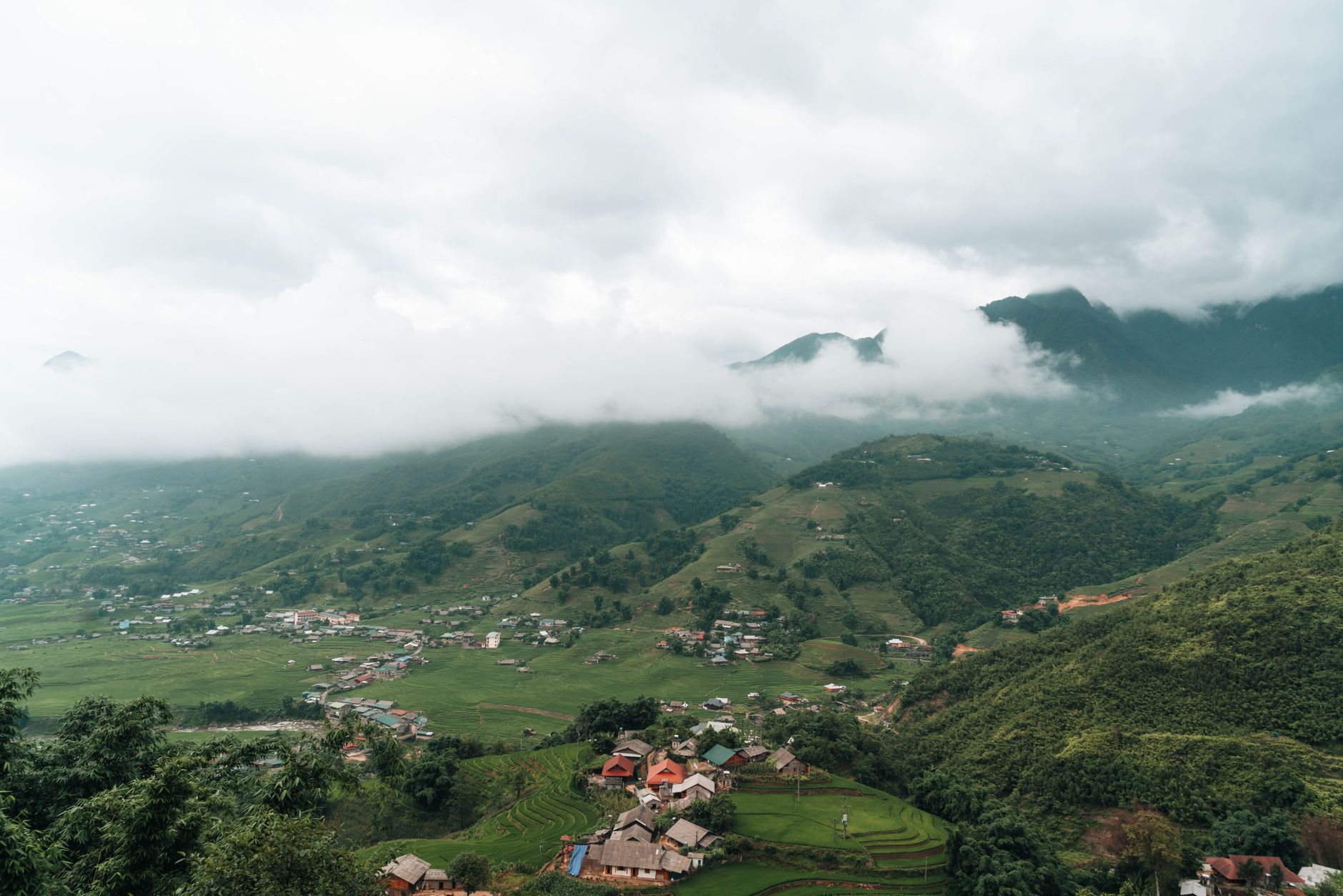
Y Ty is a Ha Nhi ethnic commune in Lao Cai province where sea-of-cloud mornings run from September to March — and almost nobody shows up compared to Sa Pa.
Y Ty's sea of fog is not a rumor — but it only appears reliably for a few weeks a year. Here's when to go, where to stand, and how to sleep close enough to catch it.
Bat Xat offers terraced rice fields, border-town energy, and Hmong villages without the Sapa crowds — here's how to plan a trip there.
We use minimal analytics + ads (no personal tracking). See our privacy policy.