Y Ty sits at roughly 2,000 meters in Bat Xat District, Lao Cai Province, about 100 km northwest of Sapa by road. Most travelers still haven't heard of it, which is part of why the ridge at sunrise — when cloud pools fill the valleys below like slow-moving water — feels genuinely earned.
The Micro-Climate Behind the Fog
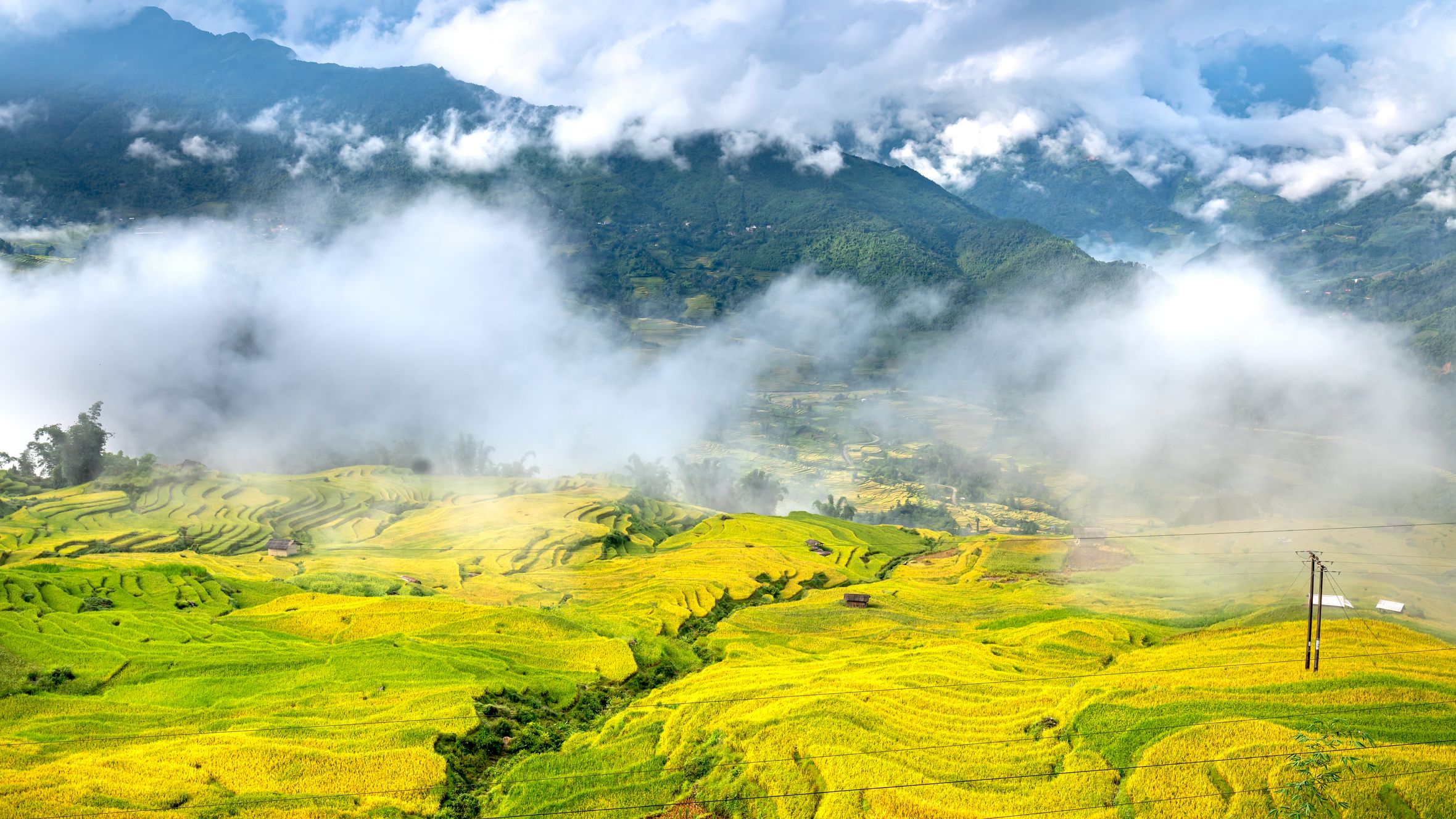
Y Ty's fog is not decorative mist. It forms because warm, moisture-heavy air from the Red River valley collides with the cold highland air sitting over the Bat Xat plateau. The terrain funnels everything into the bowls between ridgelines, and when temperatures drop overnight, the cloud layer sets below the peaks. By early morning, you're standing above it.
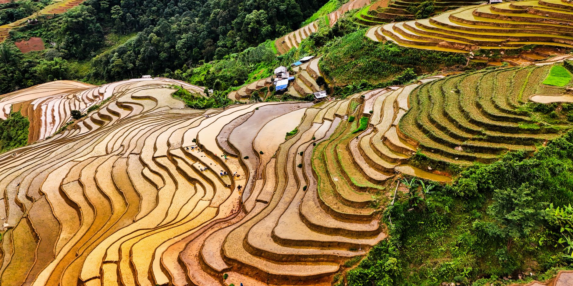
This only locks in properly during two windows. The first is late September through early November, after the wet season releases its grip but before winter dries everything out. The second — shorter and less consistent — runs from late December into January, when cold fronts push in from the north and the temperature differential is steepest. October is the month most photographers target, specifically the two to three weeks around mid-October when the fog layer is thickest and the rice terraces are still golden from harvest season.
Outside these windows, you may get partial fog on lucky mornings, but the payoff drops considerably. The summer months (June through August) bring heavy rain and low cloud that obscures everything without producing the layered sea-of-fog effect.
Sunrise Timing and Where to Position Yourself
Sunrise at Y Ty runs between 5:30 and 6:10 depending on the month. You want to be on the ridge at least 30 minutes before the sun clears the horizon — the light that catches the fog just before full sunrise is better than what you get after.
The main viewpoint most people use sits near the Lung Vai area, about 2 km from the Y Ty commune center along a dirt track. A second position, slightly higher and to the north, requires a 20-minute walk from where motorbikes park. Locals call it the upper terrace viewpoint; there is no sign. Ask your homestay owner to mark it on your phone the night before — most are used to the request.
On clear nights, you can read whether the next morning will produce fog by watching whether cloud collects in the valley after 9 p.m. If it does, set your alarm. If the sky stays clear to the valley floor, the morning may disappoint.

Photo by Quang Nguyen Vinh on Pexels
Getting There
The standard route is Hanoi to Lao Cai by overnight train (around 320,000–430,000 VND for a soft sleeper), then a bus or hired car from Lao Cai city to Bat Xat town (roughly 60 km, 90 minutes), and another 40 km of mountain road to Y Ty. That final stretch is unpaved in sections and narrow — a motorbike or a small 4WD is the practical choice. Renting a semi-automatic motorbike in Lao Cai city costs around 150,000–180,000 VND per day.
Some travelers approach from Sapa (사파 / 沙坝 / サパ), which adds distance but passes through scenery worth the detour. The road from Sapa to Y Ty via Muong Hum takes approximately three hours by motorbike in dry conditions — longer in rain.
Homestays for Photographers
Y Ty now has a small cluster of homestays that have figured out what visiting photographers actually need: early breakfast before sunrise, packed tea for the ridge, and reliable information about morning conditions. Prices run 150,000–250,000 VND per person including dinner and breakfast — cheap for what you get.
A few homestays in the Y Ty commune center are run by Ha Nhi ethnic families. These are basic — thin mattresses, shared outdoor bathrooms — but the owners often double as informal guides and will wake you if conditions look favorable overnight. Some newer guesthouses have added private rooms with better beds, targeting the weekender crowd from Hanoi (하노이 / 河内 / ハノイ), and charge closer to 400,000–500,000 VND. For cloud hunting specifically, proximity to the viewpoint trails matters more than comfort, so prioritize location over amenities.
Book ahead for October weekends. The commune is small but the number of photographers showing up has grown sharply in the last three years. Walk-in options exist on weekdays.

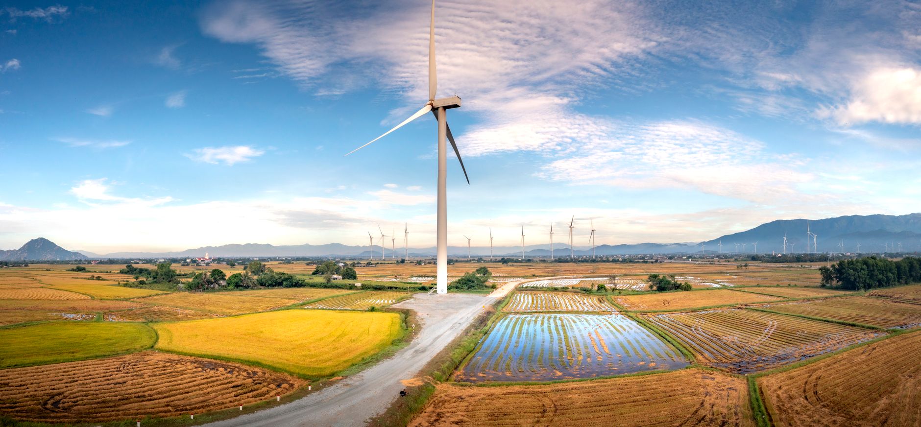
Photo by Thái Trường Giang on Pexels
What Else Is Around
If the fog doesn't cooperate on your first morning — and sometimes it simply doesn't — Y Ty offers enough to fill a second day. The terraced fields around Lung Vai and A Lu villages are genuinely photogenic even without fog. A Ha Nhi market happens in Bat Xat town on the sixth, sixteenth, and twenty-sixth of each lunar month; it's a working market, not a tourist attraction, and worth the early drive down if timing aligns.
For a longer trip, the loop from Lao Cai through Bat Xat, Y Ty, Muong Hum, and back to Sapa makes a solid three-to-four day circuit. It covers terrain that's more remote and less trafficked than the main Sapa routes.
Practical Notes
Mobile signal at Y Ty is thin — Viettel performs better than other carriers up here, but don't rely on data-heavy navigation. Download offline maps before leaving Lao Cai city. Temperatures drop to 8–12°C overnight in October and below freezing in January; a proper layer is not optional.
Last updated · May 27, 2026 · independently researched, never sponsored.