Sapa is a district-level town in Lao Cai province, northwest Vietnam (베트남 / 越南 / ベトナム), about 250 kilometers from Hanoi and 20 kilometers from the Chinese border. With a 2022 population of roughly 70,663, it sits at 1,600 meters elevation in the Hoang Lien Son mountain range. Unlike most of Vietnam, Sapa's majority is ethnic minority: approximately 52% Hmong, 25% Dao, 5% Tay, and 2% Giay, with Kinh (lowland Vietnamese) comprising about 15%, mostly in the town center.
The name origin is unclear—possibly linked to a Chinese term—but French colonial records called it "Chapa" in the late 1800s.
From French Retreat to Modern Trekking Hub
After France defeated China in the Sino-French War (1885), Tonkin (northern Vietnam) came under French control. The Lao Cai region was placed under direct French military administration to suppress banditry along the northern frontier.
In 1903, a French expedition formally identified the area and began developing it as a hill station. A sanatorium opened in 1909, a military garrison in 1912, and a tourist office in 1917. French residents built villas from 1918 onward. By 1920, when the Hanoi–Lao Cai railway was completed, Sapa (사파 / 沙坝 / サパ) had nearly 300 villas and became a fashionable summer retreat for colonial officials and French residents.
World War II and the First Indochina War (1946–1954) destroyed most colonial buildings and scattered the population. In the early 1960s, the Democratic Republic of Vietnam resettled lowland Kinh families to Sapa as part of a national program. The 1979 Sino-Vietnamese War briefly displaced the Kinh population, though they returned the same year.
Modern tourism began in the 1990s. Hotels grew from 40 rooms in 1990 to 300 by 1995; by 2003, the town had 60 hotels and 1,500 rooms. In 1993, Vietnam officially opened Sapa to international visitors. The UNESCO tentative list includes the "Area of Old Carved Stone in Sapa" (on the list since 1997).
Geography and Mountain Landscape
Sapa occupies western Lao Cai, bordered by Lai Chau province to the west, Lao Cai city to the east, and Chinese territory to the north. The Hoang Lien Son range dominates the landscape, anchored by Fansipan (3,143 meters), Vietnam's highest peak.
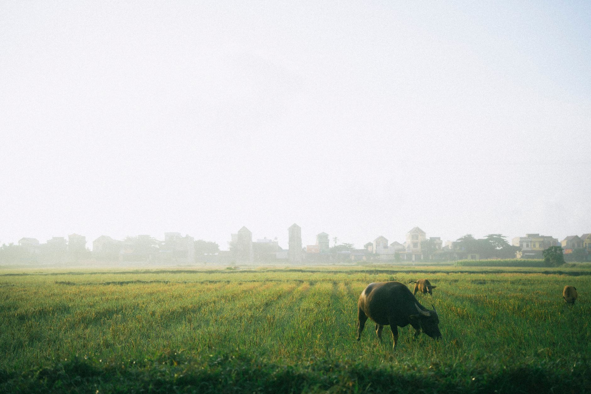
Elevation shapes the ecosystem. At 2,000–2,500 meters, old-growth forest includes the critically endangered Fansipan fir. Above 2,500 meters, stunted forest gives way to sparse high-altitude vegetation and dwarf bamboo. The Muong Hoa Valley, between Fansipan and Sapa town, is famous for its cascading terraced rice fields—a signature postcard image.
Geology consists of metamorphosed sedimentary rocks and granite intrusions running northwest–southeast. The Muong Hoa Valley floor is mostly schist; northeast of the valley, marble and karst ridges are common. High rainfall and humidity (mean 87% annually) create clay-rich soils and strong chemical weathering.

*Image by Anthony22 (talk).
Original uploader was Anthony22 at en.wik via Wikimedia Commons (CC BY-SA)*
Climate and Seasons
Sapa has a subtropical highland climate (Koppen Cfb). Mean annual temperature is 15.3°C; the warmest months are July–August (average highs near 25°C), the coldest are December–January. Record extremes range from –6.1°C to 30.0°C.
Rainfall averages 2,779 millimeters annually, concentrated May–September, with heaviest downpours in July–August. Snow has fallen multiple times between 1971 and 2021, though it rarely accumulates for days. The combination of high elevation, cloud formation on upper slopes, and moisture-laden winds from the west creates the region's distinctive misty atmosphere—valleys often fog in mornings and evenings.

Image by Martin2035 via Wikimedia Commons (CC BY-SA)
People and Economy
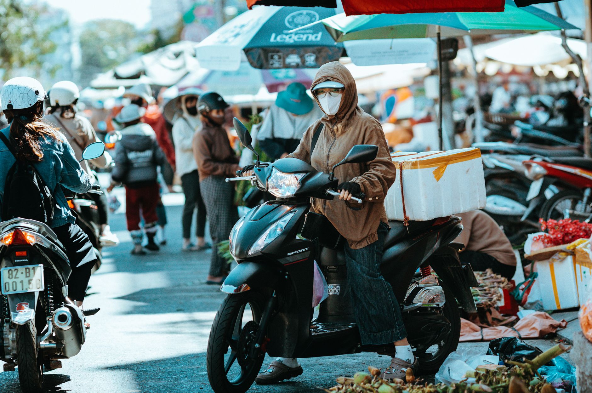
Unlike lowland Vietnam (dominated by Kinh), Sapa's ethnic minorities maintain distinct languages, dress, and traditions. Hmong women wear indigo-dyed hemp or cotton with silver accessories; Dao people wear red turbans; Tay communities cultivate lowland rice. Most ethnic minorities live in surrounding villages, engaged in rice farming, handicrafts, and tourism work. Kinh residents occupy administrative and commercial roles in the town center.
Historically, the region has faced severe poverty—as of 2022, the poverty rate was 28%. Social enterprises like Sapa O'Chau (Hmong-run) organize trekking, homestays, and skill training to diversify income. These initiatives connect trekkers with local guides and homestay families, supporting village economies directly.
What to Do
Sapa's main draws are trekking, market visits, and minority village homestays. Multi-day treks to Fansipan summit take 2–3 days and pass through terraced fields and ethnic villages. The weekly Saturday market in Sapa town is where Hmong, Dao, and Tay vendors gather to trade. Early morning (6–8 a.m.) is busiest. Muong Hoa Valley offers day hikes past rice paddies and small hamlets. The former French Church (now a Catholic place of worship) and colonial-era villas scattered on hillsides reflect the hill-station past.
Weather matters: May–September brings rain and reduced visibility; October–November offers clearer skies and cool temperatures; December–January can see fog and rare snow; February–April is warming with occasional cloud cover.
Accessibility: Buses run daily from Hanoi to Sapa (6–8 hours). The return railway was destroyed post-1954; the modern overnight bus is the standard route. From Sapa, day-trip bases include nearby Lao Cai city (train connections to Hanoi).
Frequently Asked Questions
How far is Sapa from Hanoi and how do you get there?
Sapa is approximately 250 kilometers from Hanoi, located in Lao Cai province in northwest Vietnam. The Hanoi-Lao Cai railway, completed in 1920, connects the two cities, and Sapa town sits about 20 kilometers from the Chinese border at 1,600 meters elevation. The rail link was central to Sapa's development as a retreat destination during the French colonial period.
What ethnic groups make up the majority of Sapa's population?
Ethnic minorities form the majority in Sapa. The Hmong are the largest group at approximately 52%, followed by the Dao at 25%, Tay at 5%, and Giay at 2%. Kinh (lowland Vietnamese) account for about 15% of the roughly 70,663 residents (2022 census) and are concentrated mainly in the town center, an unusual demographic pattern compared to most of Vietnam.
When did Sapa open to international tourists and how fast did it grow?
Vietnam officially opened Sapa to international visitors in 1993. Growth was rapid: the town had only 40 hotel rooms in 1990, reaching 300 by 1995, and by 2003 had expanded to 60 hotels with 1,500 rooms. The area around the Muong Hoa Valley, known for its terraced rice fields, became a major draw, and the "Area of Old Carved Stone in Sapa" has been on the UNESCO tentative list since 1997.
Last updated · May 26, 2026 · independently researched, never sponsored.