01
Destinations
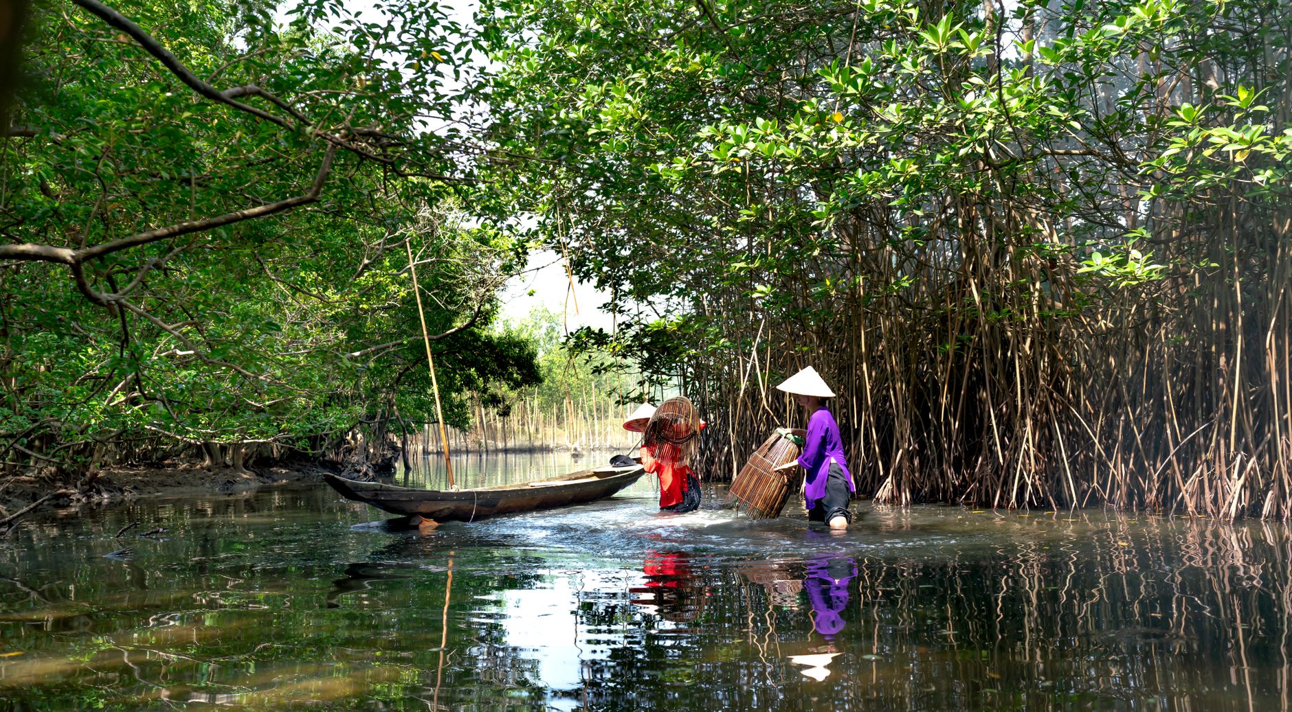
Dat Mui: Standing at the Southernmost Point of Vietnam
Ca Mau's Dat Mui is the literal southern tip of Vietnam — a remote marker in the mangroves that rewards the journey as much as the arrival.
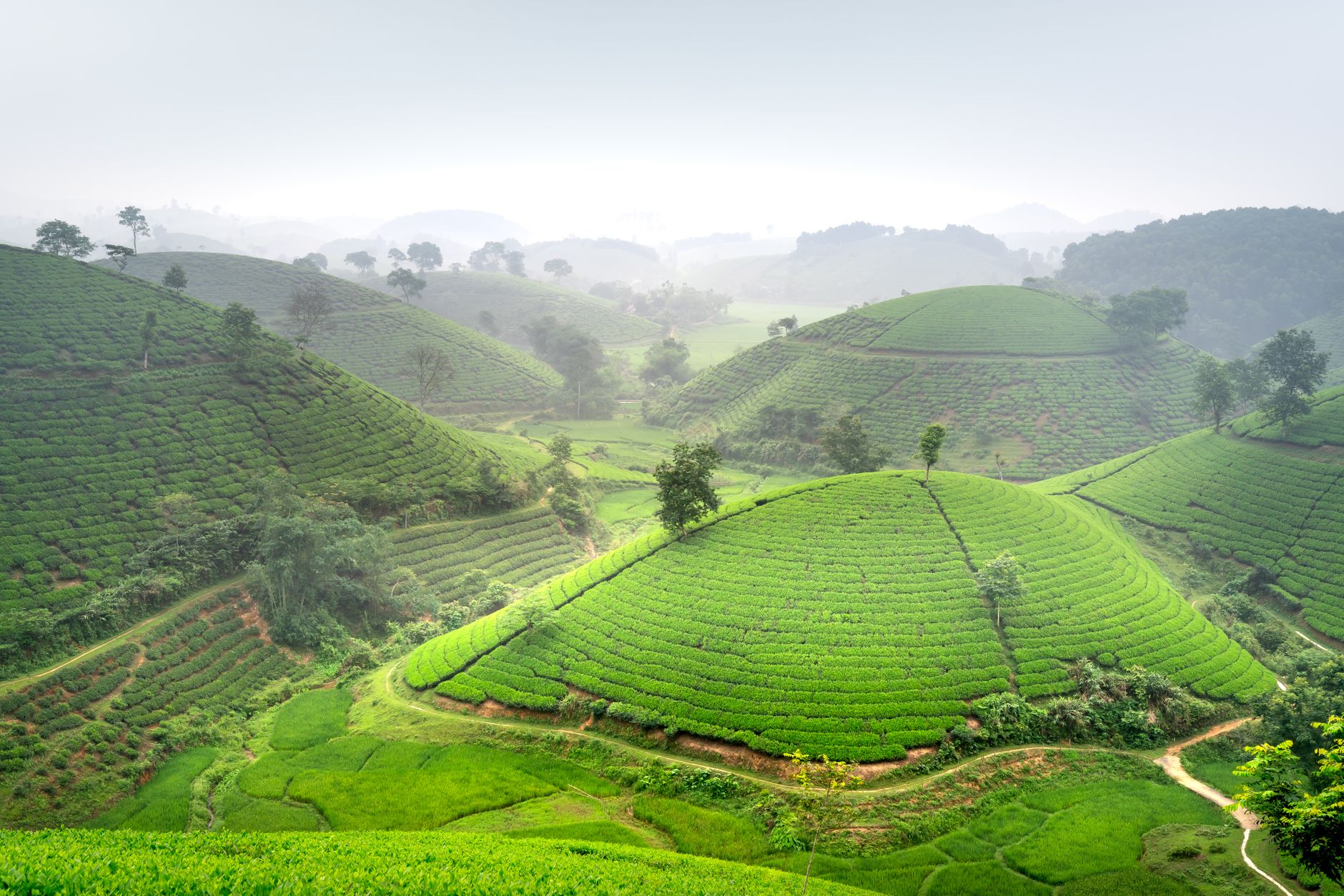
12 guides tagged mangroves — sort or switch view to find what fits.
Ca Mau's Dat Mui is the literal southern tip of Vietnam — a remote marker in the mangroves that rewards the journey as much as the arrival.
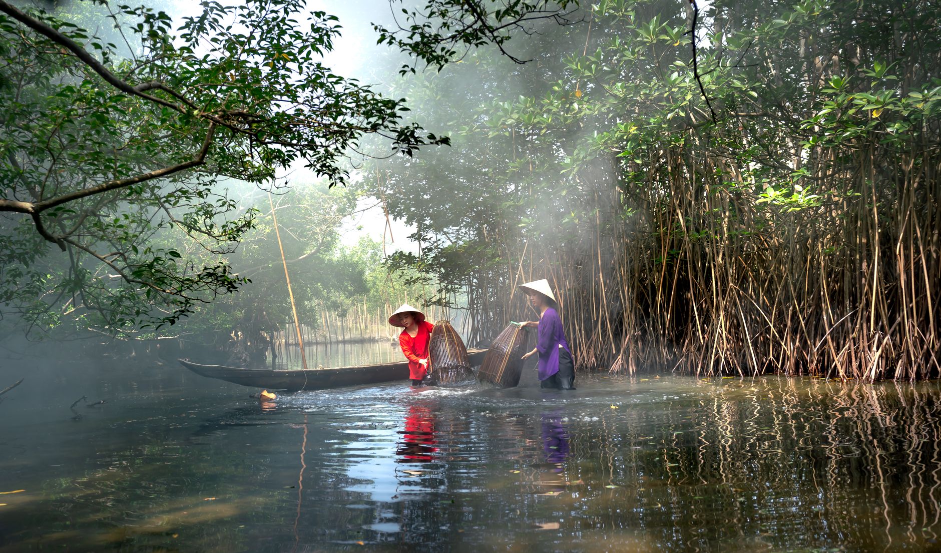
Ca Mau is as far south as Vietnam goes — a tangle of mangrove waterways, shrimp farms, and muddy riverbanks that most travelers never bother to reach.
Sixty kilometers from Saigon's chaos, Can Gio Biosphere Reserve is a working mangrove forest with monkeys, salt flats, and almost no other tourists.
Hon Da Bac is a granite outcrop off Ca Mau's coast with wartime history and mangrove surrounds. Here's what to expect, how to get there, and whether it's worth the trip.
Khai Long is a windswept beach at the bottom of Vietnam's map — remote, rough-edged, and worth the detour if you want to see where the country ends.
Vam Sat sits deep in Can Gio's mangrove biosphere, just 50 km from downtown Saigon — crocodiles, bat colonies, and river silence instead of motorbike horns.
Vietnam's first Ramsar wetland site sits where the Red River meets the sea — a flat, quiet world of mangroves, migratory birds, and clam harvesters worth a full day.
Cu Lao Dung is a river island in the Mekong Delta where sugarcane fields meet mangrove forests. Here's what to expect and how to visit.
Ca Mau is Vietnam's southernmost province, a flat and watery landscape where mangroves, birdlife, and fishing culture dominate. Here's what's actually worth your time—and what to skip.
We use minimal analytics + ads (no personal tracking). See our privacy policy.