Nui Mat Than — literally "God's Eye Mountain" — is a karst peak in Cao Bang province with a natural hole near its summit that, from certain angles and in certain light, looks like a giant eye staring out across the valley. It's become one of the more talked-about spots in Vietnam's far northeast, but getting there still takes effort, which keeps the crowds thin.
What it is
Nui Mat Than sits in Trong Con commune, Tra Linh district, about 90 km north of Cao Bang city. The "eye" is a natural erosion hole in limestone, framed by the mountain's vegetation in a way that resembles an iris and pupil. The formation has been there for centuries — locals in the surrounding Tay and Nung communities have long considered it spiritually significant — but it only entered the wider Vietnamese travel conversation around 2019-2020 when drone footage started circulating online.
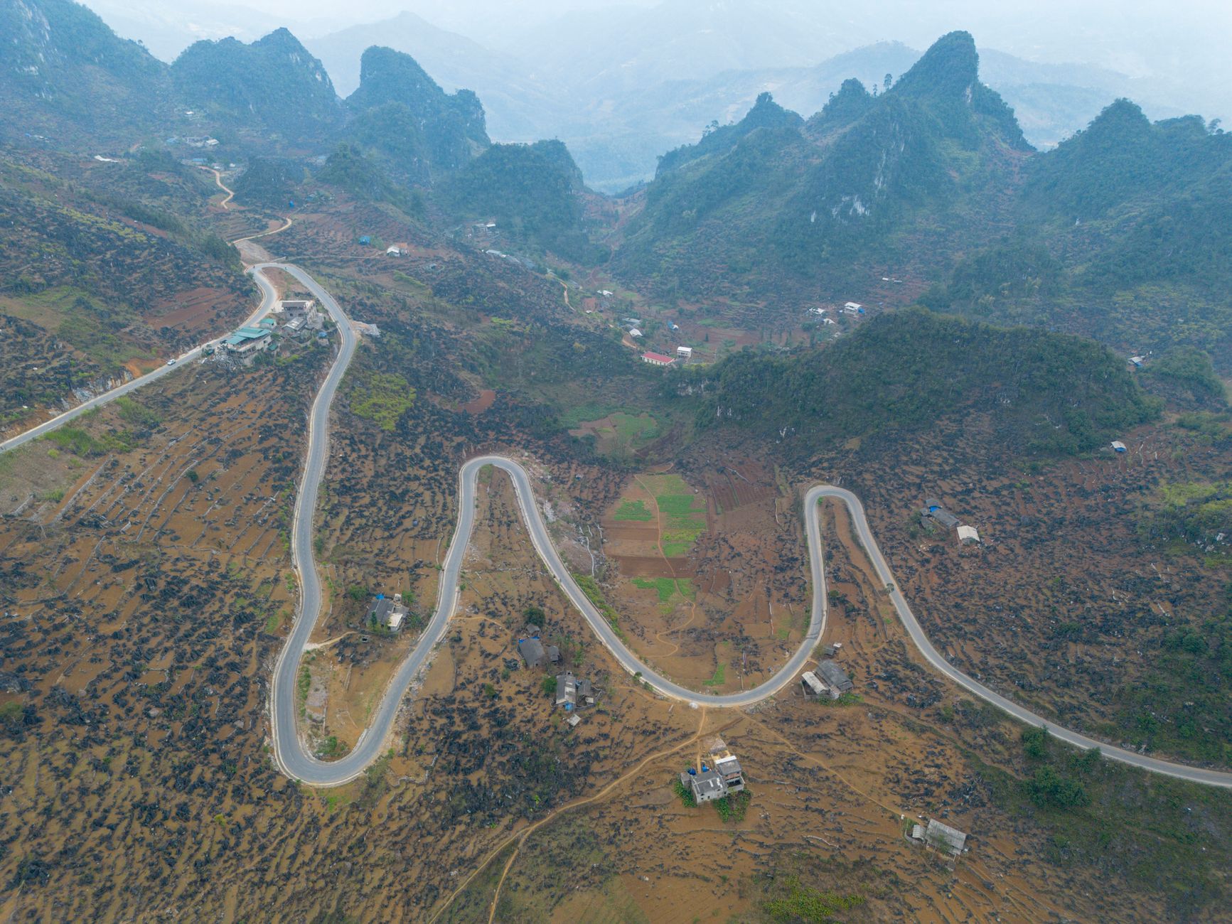
The mountain itself isn't especially tall (under 1,000 m), but the surrounding karst landscape is the real draw. This corner of Cao Bang sits within the Non Nuoc Cao Bang UNESCO Global Geopark, a designation it received in 2018 for its geological and cultural significance.
Why travelers go
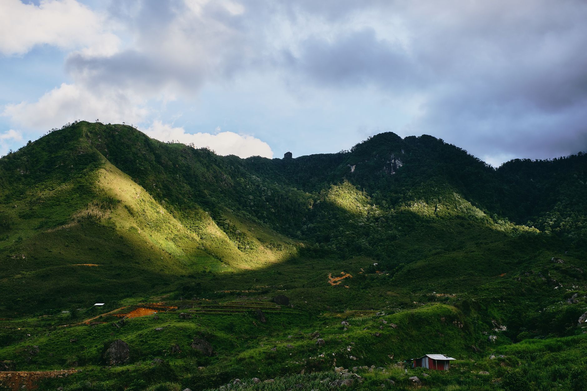
Three reasons, really. First, the eye formation is genuinely unusual — not something you'll see replicated elsewhere in Vietnam. Second, the surrounding valley of rice paddies, karst towers, and small ethnic-minority villages has a quiet, unhurried quality that's hard to find in more popular northern destinations like Sapa or Ha Giang. Third, Cao Bang province as a whole is still well off the main tourist circuit. If you've already done the Ha Giang loop and want somewhere with a similar frontier feel but fewer motorbike convoys, this region delivers.
Best time to visit
The sweet spot is September through November. The rice terraces in the surrounding valleys are green or golden depending on harvest timing, the air is clear after the summer rains taper off, and temperatures sit around 18-25°C — comfortable for walking and photography.
June through August brings heavy rain that can make dirt roads to the viewpoint muddy or impassable on a standard motorbike. December through February is dry but cold — Cao Bang can drop to 5-8°C at night, and morning fog sometimes obscures the eye formation entirely. That said, fog can also make for dramatic photos if you're patient.
Avoid major holidays like Tet if you want solitude. The spot has grown popular enough with domestic tourists that long weekends bring groups up from Hanoi.
How to get there
From Hanoi (하노이 / 河内 / ハノイ), the most common route is to take a bus to Cao Bang city first. Buses depart from My Dinh or Nuoc Ngam bus stations, take roughly 7-8 hours, and cost 250,000-350,000 VND depending on the operator. Kumho and Duc Thinh are the main companies running this route.
From Cao Bang city to Nui Mat Than, you have about 90 km north via QL3 and then smaller provincial roads toward Tra Linh. On a motorbike, count on 2.5-3 hours. The road is mostly paved but the last 10-15 km can be rough, especially after rain.
If you don't ride, hire a local driver ("xe om") or book a car through your homestay. A return car hire from Cao Bang city runs roughly 800,000-1,200,000 VND for the day, which is reasonable if you're splitting it.
The viewpoint
The eye formation is best seen from a designated viewpoint across the valley, not from the mountain itself. Locals will point you to the right spot — it's a short walk from where you park. Morning light (7:00-9:00 AM) tends to illuminate the eye most clearly. Bring a telephoto lens or binoculars if you have them; the formation is across the valley and looks smaller to the naked eye than it does in drone footage.

Photo by Manh Pham on Pexels
What to do
1. Photograph the eye from the valley viewpoint. This is why most people come. Give yourself at least an hour here — cloud cover shifts quickly and the eye appears and disappears as shadows move across the rock face.
2. Walk through Trong Con village. The Tay and Nung communities here farm rice and corn on the valley floor. The village is small and quiet. Don't expect a tourist setup — there are no ticket booths or souvenir stalls. A walk through the fields and between the karst towers takes 1-2 hours and gives you context for the landscape.
3. Ride the road between Tra Linh and Trung Khanh. If you have a motorbike, the 40 km stretch east toward Trung Khanh district is one of the better rides in the north — karst scenery, almost no traffic, and occasional village markets. This connects you to Ban Gioc Waterfall if you want to extend the trip.
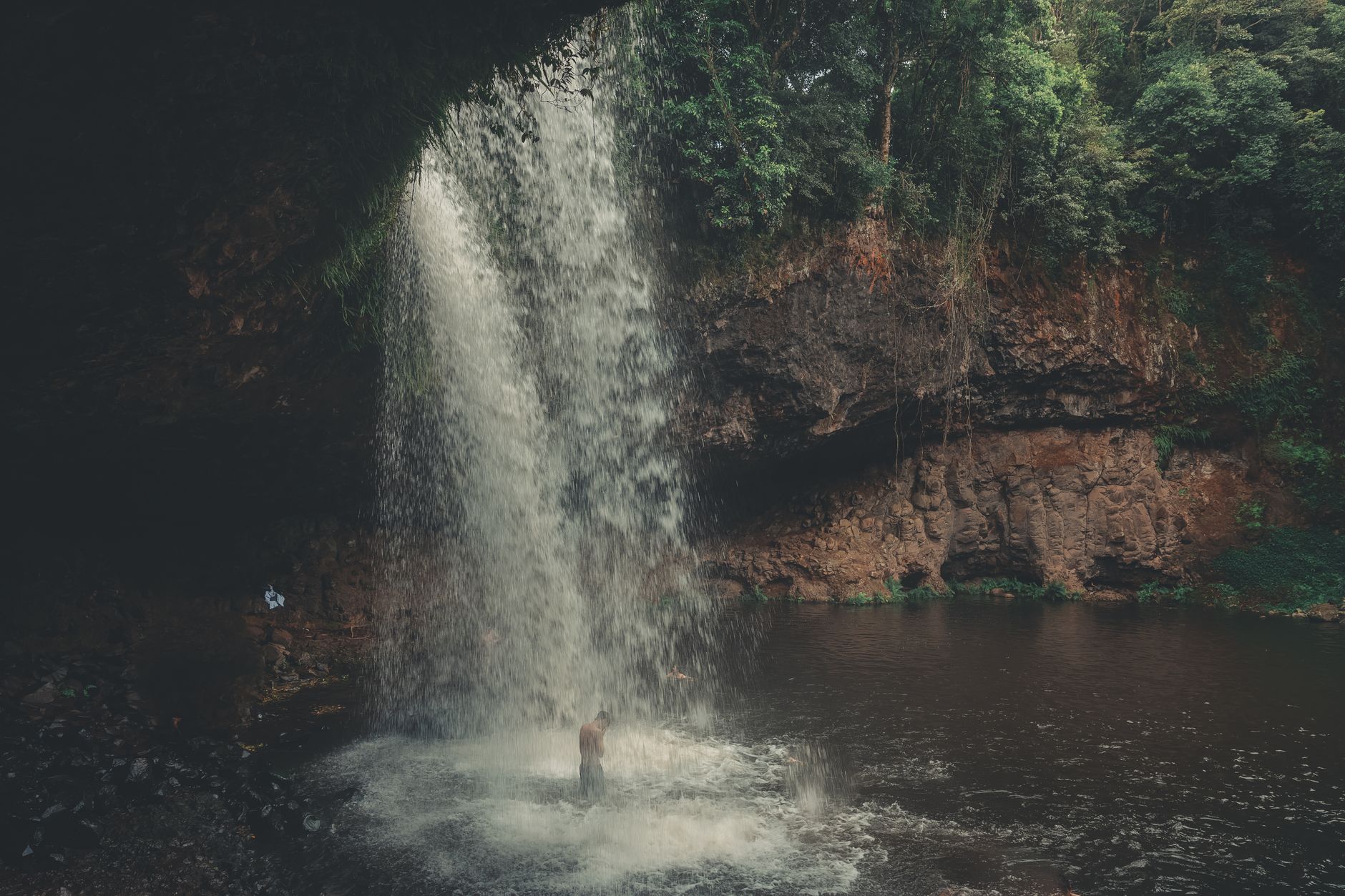
4. Visit Ban Gioc Waterfall. Only about 50 km from Nui Mat Than, Ban Gioc is Vietnam's largest waterfall and worth combining into a two-day loop. Most travelers pair the two.
5. Explore Nguom Ngao Cave. Near Ban Gioc, this cave stretches over 2 km and is one of the more impressive in the north. Entry is around 40,000 VND.
Where to eat nearby
Cao Bang's signature dish is "banh cuon" — but the local version here is thicker and chewier than what you'll find in Hanoi, stuffed with minced pork and wood ear mushroom, served with a lighter dipping sauce. Look for it at any morning market in Tra Linh or Cao Bang city.
Also try "roasted pork" ("lon quay") — whole pigs roasted over charcoal until the skin crackles. It's a staple at Tay celebrations and available at market stalls throughout the province. A portion with sticky rice runs about 60,000-80,000 VND.
Don't expect much choice near the viewpoint itself. Eat in Tra Linh town or pack food from Cao Bang city.
Where to stay
There are no hotels at Nui Mat Than. Your options:
- Cao Bang city: The widest range. Budget guesthouses from 200,000 VND/night, mid-range hotels around 400,000-600,000 VND. Nothing fancy, but clean and functional.
- Tra Linh or Trung Khanh homestays: A few family-run homestays have opened in recent years, typically 150,000-300,000 VND/night including dinner. Basic rooms, shared bathrooms, but you're closer to the site and the hospitality is genuine.
- Near Ban Gioc: More developed accommodation if you're doing the combined trip. Hotels here range from 300,000 to 1,000,000 VND.

Photo by Quang Nguyen Vinh on Pexels
Practical tips locals would tell you
- Fuel up in Cao Bang city. Petrol stations get sparse past Tra Linh. Fill your tank before heading north.
- Bring cash. No ATMs near the viewpoint, and card payment is nonexistent outside Cao Bang city.
- Wear proper shoes. The walk to the viewpoint crosses uneven ground and can be slippery when wet. Flip-flops won't cut it.
- Carry a rain jacket even in dry season — weather shifts fast in the karst valleys.
- Learn a few phrases. Many older residents speak Tay or Nung as their first language. Basic Vietnamese greetings go a long way; English is rarely spoken outside Cao Bang city.
Common mistakes to avoid
Expecting the drone shot from ground level. Most viral photos of Nui Mat Than are taken by drone. From the ground viewpoint, the eye is real and visible, but smaller and less dramatic. Manage your expectations and enjoy the landscape as a whole rather than chasing a single photo.
Trying to do it as a day trip from Hanoi. The 7-8 hour bus ride each way makes this miserable. Budget at least two nights in Cao Bang province — three if you're adding Ban Gioc.
Skipping Cao Bang entirely for Ha Giang (하장 / 河江 / ハーザン). Ha Giang gets the hype, and it deserves it. But Cao Bang's karst scenery is arguably just as good, and you'll share it with far fewer people. Consider doing both if your schedule allows.
Practical notes
Cao Bang province is steadily improving its roads and infrastructure, but this is still remote northeast Vietnam — plan for slower travel, limited services, and the occasional detour. That's also exactly what makes it worth the trip. Pair Nui Mat Than with Ban Gioc and a few days exploring the geopark, and you've got one of the better off-circuit itineraries in the north.
Last updated · May 26, 2026 · independently researched, never sponsored.