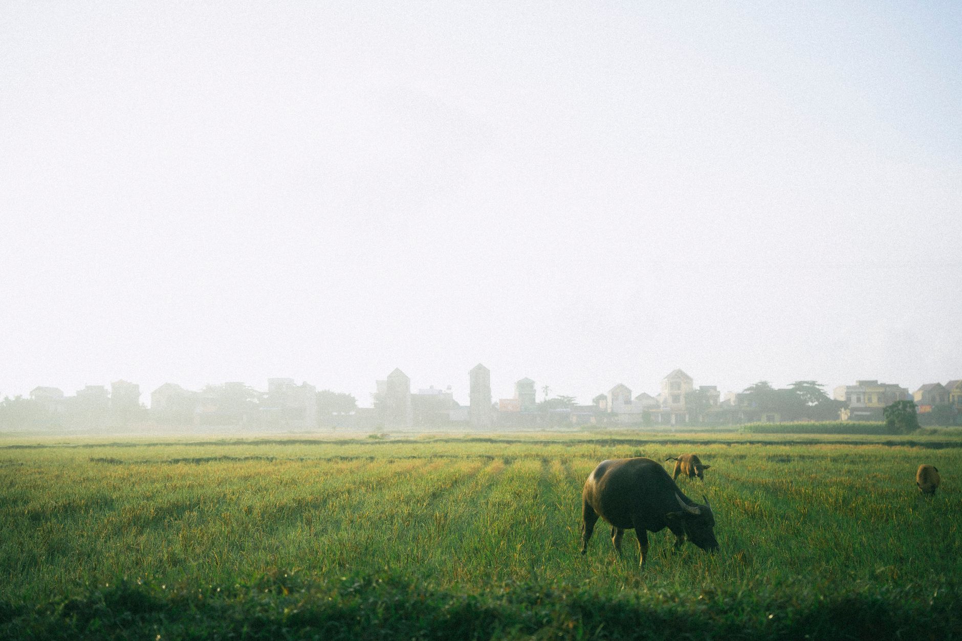
Ten days on the Ha Giang Loop allows you to escape the rushed three-day tourist run, giving you time to explore dirt tracks, remote ethnic villages, and high-altitude passes that most travelers miss. This itinerary is built for experienced riders who want to trade asphalt for gravel and homestay karaoke for quiet mountain nights.
Unlike Sapa, which has seen heavy commercial development, Ha Giang remains a frontier. But to see it properly, you need to slow down, ride your own bike, and take the turnoffs that the tour groups ignore.
Day 1 — Hanoi to Ha Giang City
Start your journey by catching a morning limousine bus from Hanoi to Ha Giang City. The 300 km trip takes about six hours and costs around 350,000 VND. Arrive by mid-afternoon to sort out your wheels.
Go to a reputable rental shop like QT Motorbikes or Jasmine Tourism. Skip the automatic scooters; you need a semi-automatic or a manual bike (150cc or higher) to handle the steep gradients and loose gravel ahead. Expect to pay 200,000 to 350,000 VND per day for a well-maintained bike. Spend the evening packing light, leaving your main luggage at the shop, and testing your brakes.
- Off-script suggestion: Avoid the noisy hostel bars in the city center. Cross the bridge to the east side of the Lo River and find a local "bia hoi" spot where construction workers and mechanics drink fresh draft beer for 10,000 VND a glass.
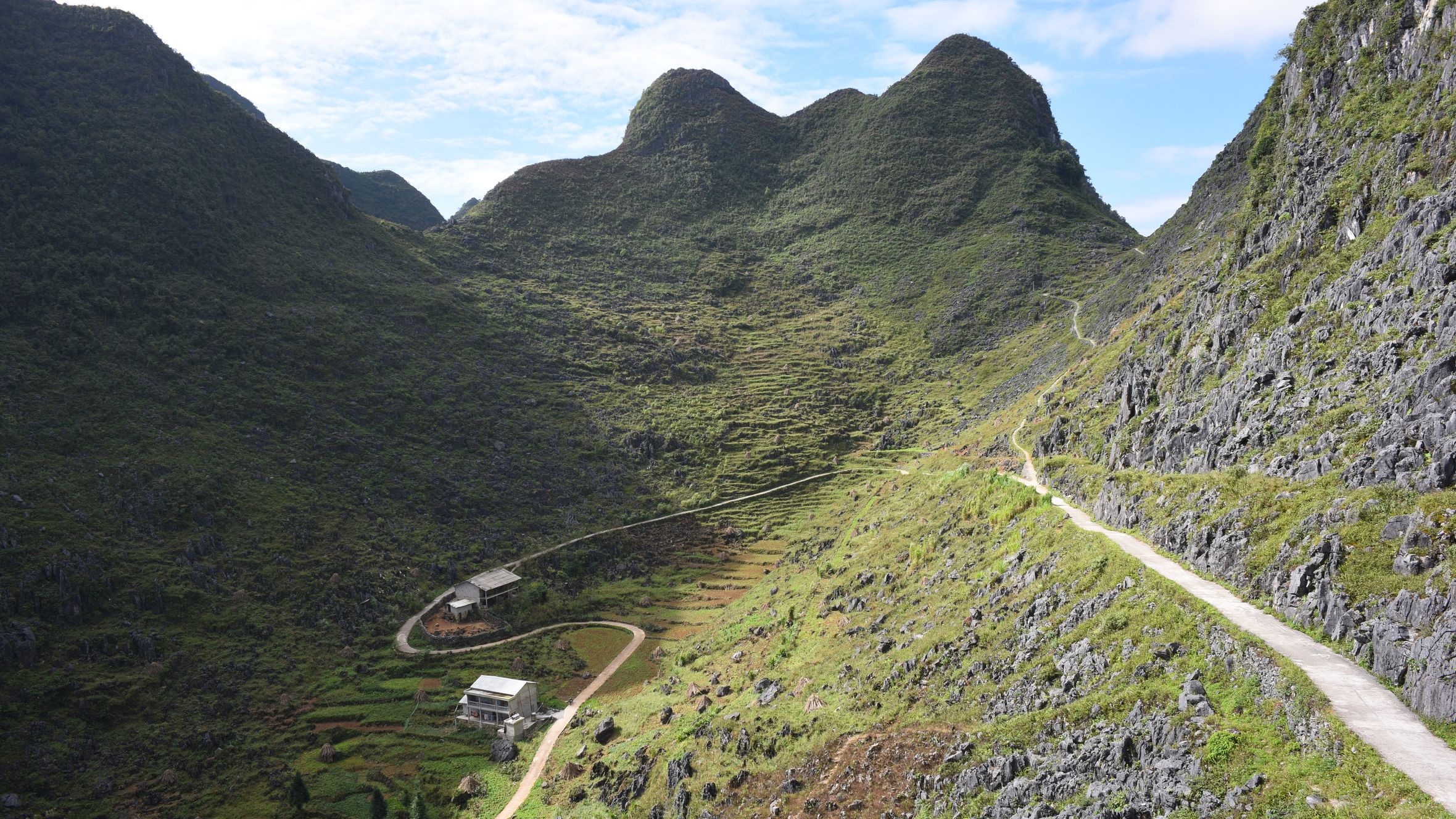
Day 2 — Ha Giang City to Quan Ba (50 km)
The climb begins almost immediately as you leave the city on the QL4C. You will tackle the Bac Sum Pass, a giant set of switchbacks that climbs into the limestone karst landscape. Stop at the Quan Ba Heaven Gate for your first look at the Dong Van Karst Plateau.
Have lunch in Tam Son town. Look for a small eatery serving "banh cuon" (steamed rice rolls). Unlike the Hanoi (하노이 / 河内 / ハノイ) version, the rolls here are served with a bowl of hot pork bone broth seasoned with local herbs instead of sweet fish sauce.
- Off-script suggestion: Skip the crowded Heaven Gate information center cafe. Instead, look for the narrow concrete track leading up to the old television transmitter tower for a 360-degree view without the selfie crowds.
Day 3 — Quan Ba to Yen Minh via Quyet Tien (60 km)
Most riders take the main highway straight to Yen Minh, but the backroads offer a much more raw experience. Ride down into the valley toward the Mien River, passing through small Hmong and Dao hamlets where farming is still done by hand.
- Off-script suggestion: Instead of the smooth QL4C highway, take the rugged backroad through Quyet Tien. It is a steep, rocky climb that tests your clutch control but rewards you with empty valleys and limestone peaks untouched by tour buses.
Day 4 — Yen Minh to Dong Van via Pho Bang (60 km)
Today you climb the Chin Khoanh Pass, a series of nine legendary curves. After the pass, take the detour to Pho (쌀국수 / 越南河粉 / フォー) Bang, a quiet town right on the northern border. The houses here are built with thick clay walls and wooden columns, reflecting a style of architecture that has disappeared elsewhere.
On the way to Dong Van, stop in the Sung La Valley to see the traditional Hmong house used in the famous Vietnamese film "Pao's Story." For dinner in Dong Van, try "thang co" (a traditional Hmong horse meat soup) or "men men" (steamed ground corn) at a local market stall.
- Off-script suggestion: When you reach Dong Van, skip the touristy cafes in the Old Quarter. Hike up the steep stone steps to the ruins of Don Cao, a French fortress built on a karst peak behind the town, just before sunset.

Photo by Quang Nguyen Vinh on Pexels
Day 5 — The Northernmost Loop: Dong Van to Lung Cu and Ma Le (60 km round trip)
Dedicate this day to exploring the extreme northern tip of the province. The ride to the Lung Cu Flag Tower runs along massive limestone cliffs. The tower itself sits on a high peak overlooking the border plains.
- Off-script suggestion: Skip the main staircase to the flag tower. Take the narrow dirt track that skirts the base of the mountain toward the border fence, where you can see small villages across the valley (stay on the established paths to respect local border regulations).
Day 6 — Dong Van to Meo Vac via Ma Pi Leng Pass (30 km)
Though short in distance, this is the most dramatic riding day of the trip. The Ma Pi Leng Pass is carved into the side of a cliff, dropping 800 meters down to the turquoise Nho Que River. Ride slowly; the wind can be fierce, and the views require your full attention.
- Off-script suggestion: Do not take the standard tourist boat tour on the river. Instead, ride your bike down the incredibly steep, winding concrete road to the hydro-power station at the bottom of the canyon, then hike along the riverbank where the canyon walls rise sheer above you.
Day 7 — Meo Vac to Du Gia via Mau Due (75 km)
This route takes you away from the main tourist loop and into the wild southern section of the province. The road between Mau Due and Du Gia is notoriously rough, with loose gravel, active roadworks, and deep potholes, but the scenery is spectacular.
Stop in Mau Due for a simple lunch of rice and wild mountain vegetables. The drive down into the Du Gia valley reveals terraced rice fields that rival those of Sapa.
- Off-script suggestion: Stop in Mau Due and ask locals for directions to the hidden French outpost ruins, overgrown with weeds and pine trees, located on a hill overlooking the valley.

Photo by Ama Journey on Pexels
Day 8 — Du Gia Rest and Waterfall Day
After a week of hard riding, spend a day off the bike. Du Gia is a peaceful village inhabited by the Tay and Hmong people. The pace of life here is slow, and the air is clean.
- Off-script suggestion: Don't just swim at the main Du Gia waterfall pool where everyone gathers. Hike up the steep trail on the left side of the falls to find the upper pools and stream feeds, which are completely empty and clean.
Day 9 — Du Gia to Ha Giang City via Duong Thuong (80 km)
This is a challenging ride through the high-altitude valley of Duong Thuong. The road climbs through thick pine forests and bamboo groves before dropping back down to the QL4C junction near Ha Giang City. The road quality varies wildly, so keep your speed low.
- Off-script suggestion: Stop at the Lung Phin market if your schedule aligns with the lunar calendar (it takes place every six days) to see ethnic minorities trading everything from textiles to local corn wine.
Day 10 — Ha Giang City to Hanoi (300 km)
Return your rental bike, settle your bill, and grab a bowl of "pho" near the bus station before boarding your return limousine bus to Hanoi.
- Off-script suggestion: Ask the bus driver to drop you near the Long Bien Bridge in Hanoi instead of the standard drop-off point; walking across the historic bridge at dusk is a much more atmospheric entry back into the capital.
Practical notes
Always check the weather before setting out, as heavy rain can cause landslides on the road between Mau Due and Du Gia. Ensure you obtain the standard border province entry permit (available at the Ha Giang Immigration Office for around 230,000 VND) before heading north of Quan Ba.
Last updated · May 30, 2026 · independently researched, never sponsored.