What it is
Phu Quoc National Park occupies roughly 31,400 hectares of the northern half of Phu Quoc island — that's more than 50% of the island's total land area. It was designated a national park in 2001 after decades as a protected forest reserve, and UNESCO recognized the broader Phu Quoc archipelago as a biosphere reserve in 2006.
The park is lowland and mid-elevation tropical forest, peaking at Mount Chua (603m) — not exactly alpine, but enough to generate its own microclimate. Inside you'll find dipterocarp woodland, freshwater streams, mangrove fringes on the eastern coast, and patches of melaleuca wetland. Wildlife includes long-tailed macaques, slow lorises, silver langurs, hornbills, and the Phu Quoc (푸꾸옥 / 富国岛 / フーコック) ridgeback dog in surrounding villages — though you're far more likely to hear gibbons than see them.
Why travelers go
Most visitors come to Phu Quoc for beaches and resorts on the western and southern coasts. The national park offers the opposite: quiet trails under canopy, freshwater pools you can swim in without another person around, and the kind of green silence that the resort strips don't deliver.
Specifically, people go for:
- Suoi Tranh and Suoi Da Ban — two waterfall/stream systems on the park's southern edges with natural pools
- Ganh Dau trail — a route through old-growth forest toward the northwest cape
- Mount Chua hike — the island's highest point, a half-day scramble with partial canopy views
- Motorbike routes — the unpaved red-dirt roads cutting north through the park toward Ganh Dau or Rach Vem
It's not a trekking destination in the Ha Giang or Sapa sense. Think of it more as accessible jungle — short hikes, swimmable streams, and a break from beach-and-cocktail fatigue.
Best time to visit
Phu Quoc's dry season runs November through March. This is when trails are passable, streams run clear (not muddy), and mosquitoes are manageable.
April and May are hot and humid but still dry enough. From June through October, the southwest monsoon hits hard — trails flood, leeches appear in force, and the dirt roads into the park's interior become genuinely impassable on a standard motorbike. Suoi Da Ban turns from a gentle cascade into brown rapids.
If you're visiting in rainy season, stick to Suoi Tranh (paved access road, short walk) and skip anything requiring unpaved roads.
How to get there
Phu Quoc has its own international airport (PQC) with direct flights from Saigon (55 minutes, 800,000–1,500,000 VND), Hanoi, Da Nang, and Can Tho. From Can Tho or Ha Tien on the mainland, fast ferries run daily (1–2.5 hours depending on route).
Once on the island, the national park starts about 20km north of Duong Dong town. You'll need your own wheels:
- Motorbike rental: 150,000–200,000 VND/day from any hotel or rental shop in Duong Dong. Get a semi-automatic (Honda Wave or similar) with decent tires if you're hitting dirt roads.
- Taxi/Grab: works for Suoi Tranh or Suoi Da Ban access points but impractical for deeper exploration.
- Guided tours: a few operators in Duong Dong run half-day jungle treks (400,000–700,000 VND/person). Quality varies.
There's no entrance gate with a fixed fee for most of the park. Suoi Tranh charges 20,000 VND admission. Suoi Da Ban is similar. The deeper interior trails have no ticketing.

Photo by Optical Chemist on Pexels
What to do
Suoi Tranh
The most accessible spot — 7km south of Duong Dong, paved road right to the entrance. A 20-minute walk upstream brings you to a modest waterfall (about 4m high) and several pools deep enough to swim. Weekends get crowded with domestic visitors; go before 9am or on a weekday.
Suoi Da Ban
Further north and slightly wilder. The stream runs over wide granite slabs — good for lounging and swimming in dry season. The walk in takes about 15 minutes from the parking area.
Ganh Dau and northern trails
The unpaved road from Bai Thom village toward Ganh Dau cape cuts through dense forest. It's roughly 15km of red laterite — beautiful on a motorbike in dry weather, sketchy in rain. No facilities, bring water. You'll pass through stretches where the canopy closes overhead completely.
Mount Chua
No marked trail to the summit exists for casual hikers. Some local guides offer the route (half day, moderate difficulty, expect mud even in dry season). Views from the top are partially blocked by trees, so manage expectations — it's about the forest, not the panorama.
Where to eat
There's nothing inside the park itself. Eat before or after in Duong Dong or the northern fishing villages:
- Duong Dong night market — grilled seafood, "banh canh (반깐 / 粗米粉汤 / バインカイン)" crab noodle soup (cua), raw herring salad ("goi ca trich") from 50,000–120,000 VND per dish
- Bai Thom village — small family restaurants serving whatever came off the boats that morning. Simple grilled fish with rice, 80,000–150,000 VND
- Ham Ninh fishing village (southeast coast) — famous for steamed crab with salt-pepper-lime dip, roughly 200,000–350,000 VND per kg depending on season
For coffee before an early hike, any "ca phe" shop in Duong Dong opens by 6am. Vietnamese coffee here is strong and cheap — 20,000–30,000 VND for a "ca phe sua da".
Where to stay
No accommodation exists inside the park. Base yourself in:
- Duong Dong: the main town, widest range of hotels and hostels (250,000–2,000,000 VND/night)
- Ong Lang beach area: quieter, mid-range resorts 10 minutes south of town
- Ganh Dau village: a few homestays if you want proximity to the northern park trails (300,000–500,000 VND/night)
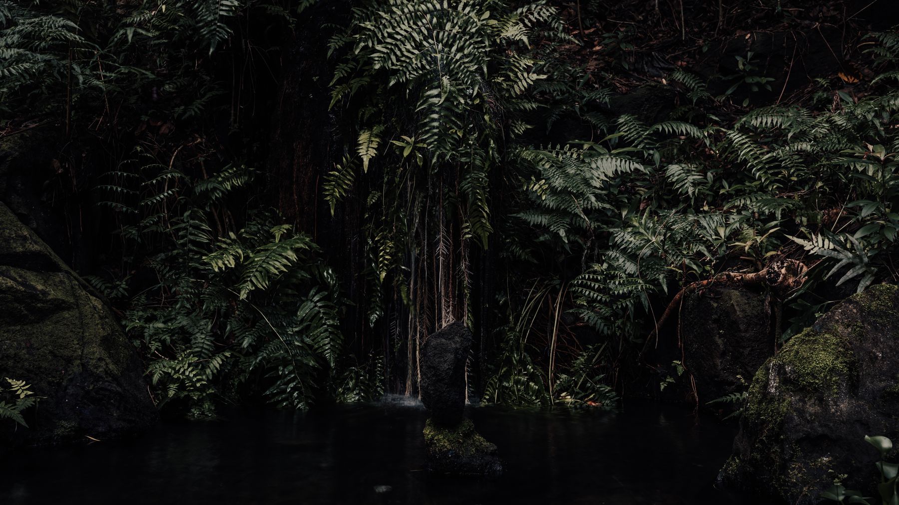
Photo by Mitch Oram on Pexels
Practical tips
- Bring 1.5L of water minimum per person for any trail beyond Suoi Tranh.
- Wear long pants and closed shoes if going off-road. Leeches exist year-round in wetter patches.
- Phone signal (Viettel, Mobifone) drops to nothing in the park's interior. Download offline maps.
- Sunscreen and mosquito repellent — the canopy blocks some sun, but streams and clearings don't.
- If renting a motorbike, check brakes and tire tread before heading onto dirt roads. Flats are common on laterite.
Common mistakes
- Going in rainy season without checking road conditions — the northern dirt roads become impassable mud from July to September. Not "challenging" — actually stuck.
- Expecting signposted trails — this isn't a European national park. Trails are informal, unmarked, and sometimes overgrown. For anything beyond Suoi Tranh or Suoi Da Ban, either hire a local guide or accept some route-finding.
- Skipping the park entirely — many Phu Quoc visitors never leave the beach strip. Even a half-day at Suoi Da Ban or a morning motorbike ride through the northern forest justifies the trip north.
Practical notes
Phu Quoc National Park works best as a half-day or full-day break from the coast — not a multi-day wilderness expedition. Pair it with the island's seafood, beaches, and pepper farms for a balanced few days. If you're island-hopping from Ha Tien or heading onward to Can Tho in the Mekong Delta, the park gives Phu Quoc a dimension most visitors miss entirely.
Last updated · May 29, 2026 · independently researched, never sponsored.