What it is
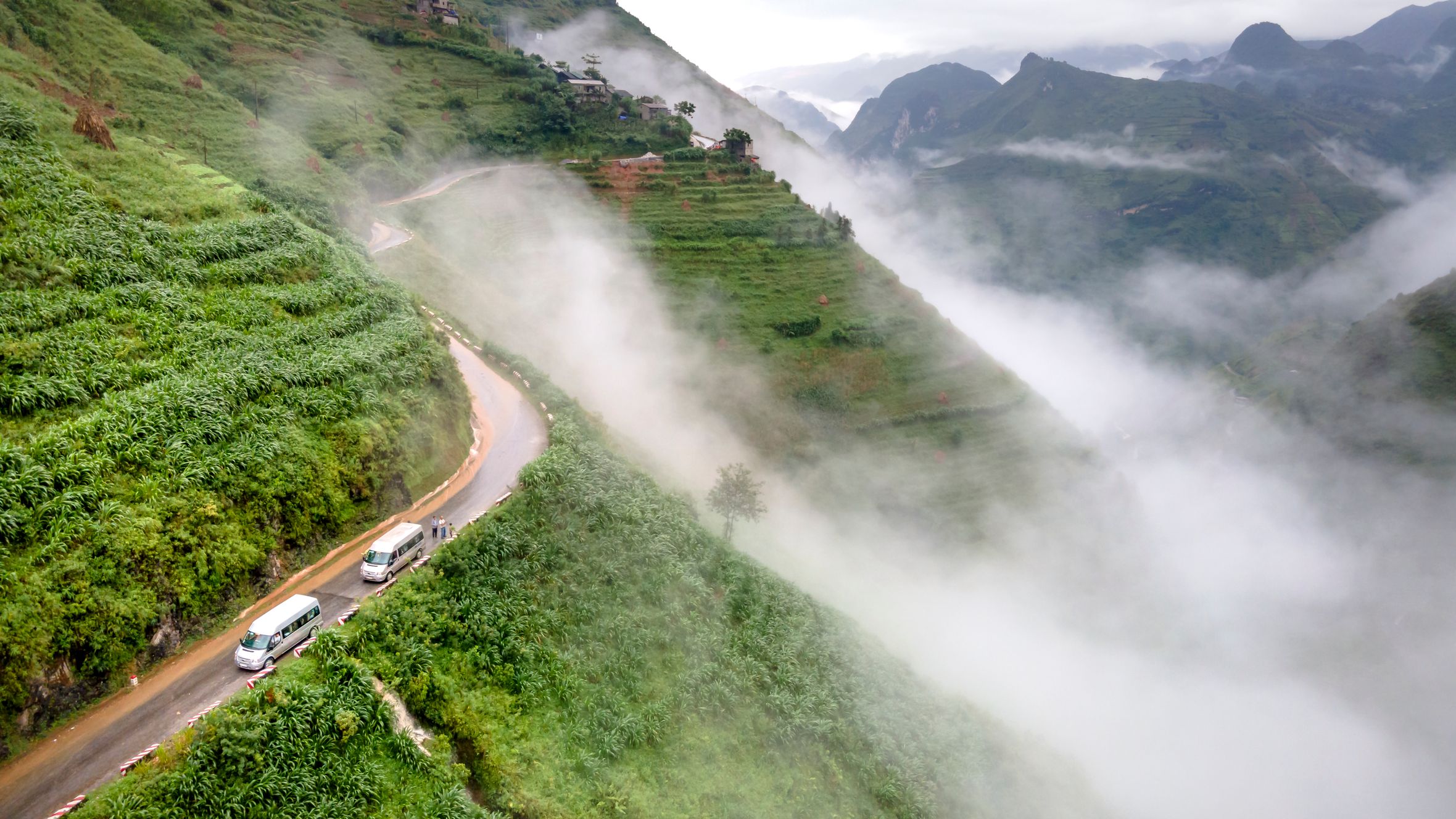
Deo O Quy Ho is a 50 km mountain pass that connects Sapa (Lao Cai province) to Tam Duong (Lai Chau province), topping out at roughly 2,073 m above sea level. It's the highest paved road pass in Vietnam (베트남 / 越南 / ベトナム) — sometimes called "Cloud Pass of the Northwest," though locals just call it by name. The pass runs along the western flank of Fansipan, and on clear mornings you can see the summit ridge from several bends near the top.
The French colonial administration built the original road in the 1920s to connect their hill station at Sapa (사파 / 沙坝 / サパ) with the Lai Chau valley. For decades it was a rough, fog-choked track that trucks avoided. Major upgrades in the 2000s and 2010s widened and paved the entire route, turning it into one of northern Vietnam's defining motorcycle roads.
Why travelers go
Three reasons, mostly:
-
The ride itself. Fifty kilometers of switchbacks through bamboo forest, cloud forest, and exposed ridgeline. The elevation change from Sapa town (around 1,500 m) to the summit isn't dramatic, but the Lai Chau side drops fast — nearly 1,800 m in about 30 km of continuous descent. It's a genuinely engaging road whether you're on a manual bike or riding pillion.
-
The scenery. Terraced rice paddies at lower elevations, dense tree canopy in the middle section, then sub-alpine scrub and exposed rock near the top. On clear days, the panorama from the summit marker includes Fansipan and the Hoang Lien Son range stretching south.
-
Silver Waterfall and Love Waterfall. Both are on the Sapa side, a few kilometers from town. Silver Waterfall (Thac Bac) drops right beside the road — you can hear it before you see it. Love Waterfall (Thac Tinh Yeu) requires a 1 km walk from the road into the forest. Neither is a major detour.
Best time to visit
The pass is rideable year-round, but conditions vary sharply:
- September to November: Best overall. Rice terraces are golden in late September/early October. Skies clear up after the monsoon. Temperatures at the summit hover around 10-15°C.
- March to May: Wildflowers (peach blossom, plum blossom in March). Warmer but hazy — views can be washed out.
- December to February: Cold. Summit temperatures drop to 2-5°C, occasionally below zero. Frost on the road is real, especially before 8 AM. Fog can cut visibility to 20 m for hours. Beautiful if you get a clear day, miserable if you don't.
- June to August: Monsoon. Landslides close sections of the road several times each summer. Check conditions before attempting the full crossing.
How to get there
Most travelers base in Sapa and ride or drive westward. The pass starts at the edge of town — you're already gaining elevation within 2 km of Sapa church.
By motorbike: Rent in Sapa (150,000-250,000 VND/day for a semi-auto, 350,000-500,000 VND for a manual). The full crossing to Lai Chau town takes 2-3 hours without stops. Many riders do an out-and-back to the summit and return to Sapa the same day — about 4 hours round trip with photo stops.
By car or jeep tour: Several operators in Sapa run half-day jeep trips to the summit and back (around 800,000-1,200,000 VND per person in a shared vehicle). Private cars can be hired through hotels.
Getting to Sapa: Overnight sleeper buses from Hanoi (6-7 hours, 250,000-400,000 VND) or the train to Lao Cai station followed by a 35 km bus or taxi up to Sapa town. The Ha Giang loop crowd sometimes routes through Sapa before or after — Deo O Quy Ho makes a natural add-on.

Photo by Quang Nguyen Vinh on Pexels
What to do
Ride the full pass
The obvious one. Start early (7 AM) to beat tour buses and afternoon fog. Stop at the summit stone marker for photos. Continue down the Lai Chau side if you want the full descent — the hairpins between km 30 and km 40 are the most dramatic section.
Silver Waterfall (Thac Bac)
About 12 km from Sapa center. Entry: 20,000 VND. A 100 m cascade visible from the road. Worth 20 minutes, not an hour.
Love Waterfall (Thac Tinh Yeu)
Another 2 km past Silver Waterfall, then a forest walk. Entry: 45,000 VND. Quieter, bigger payoff — the waterfall sits in a mossy amphitheater. Allow 60-90 minutes total.
Heaven Gate viewpoint
Near the summit on the Sapa side, a cluster of cafes and photo platforms sits at one of the wider bends. On clear days, this is where the Fansipan views open up. A glass-bottom skywalk was built here recently (100,000 VND entry) — skip it or don't, the free views from the road are just as good.
Where to eat
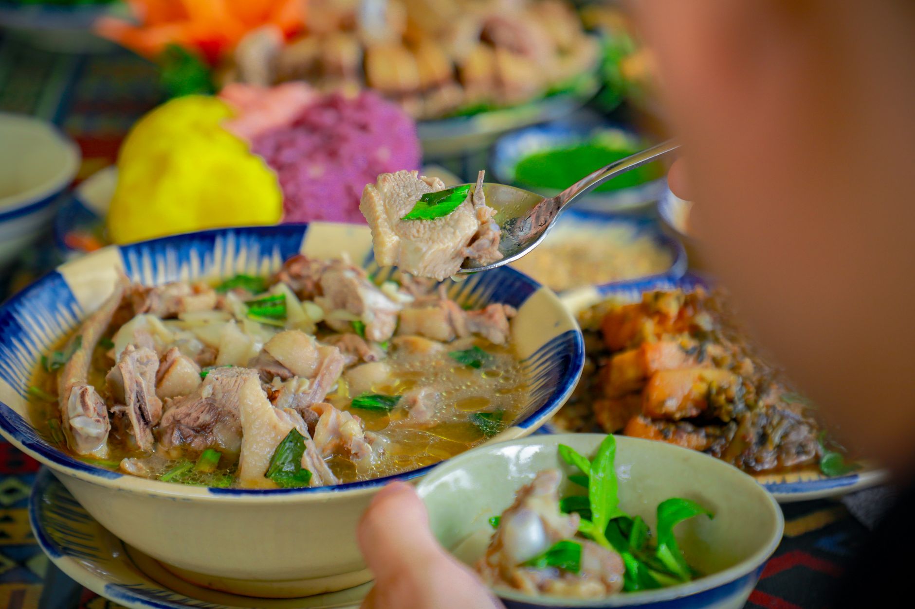
Options on the pass itself are limited to roadside stalls selling instant noodles, boiled eggs, and grilled corn near the summit. For proper food:
- Before the ride (Sapa): Grab "banh mi" or "pho" in town. A Pho stall on Cau May street does a solid beef bowl for 50,000 VND. Hill Station Restaurant does a H'mong-inspired set lunch if you want something different.
- After the ride (Lai Chau side): Tam Duong town has a row of "com binh dan" (rice-and-dish) places on the main road. Point at what looks good. Expect 40,000-60,000 VND for a plate with meat.
- Back in Sapa: The town has dozens of restaurants ranging from backpacker-priced Vietnamese to overpriced tourist traps. Barbecue Sapa on Thac Bac street does grilled meats over charcoal — good after a cold ride.
Where to stay
Stay in Sapa unless you're continuing to Lai Chau. Sapa has everything from 120,000 VND dorm beds to boutique hotels at 2,000,000 VND+. A few homestays sit along the pass road within 10 km of town — quieter, colder, better views.
If you're crossing all the way, Lai Chau city has basic hotels (300,000-500,000 VND) but limited atmosphere. Tam Duong has a couple of guesthouses if you want to break the journey.
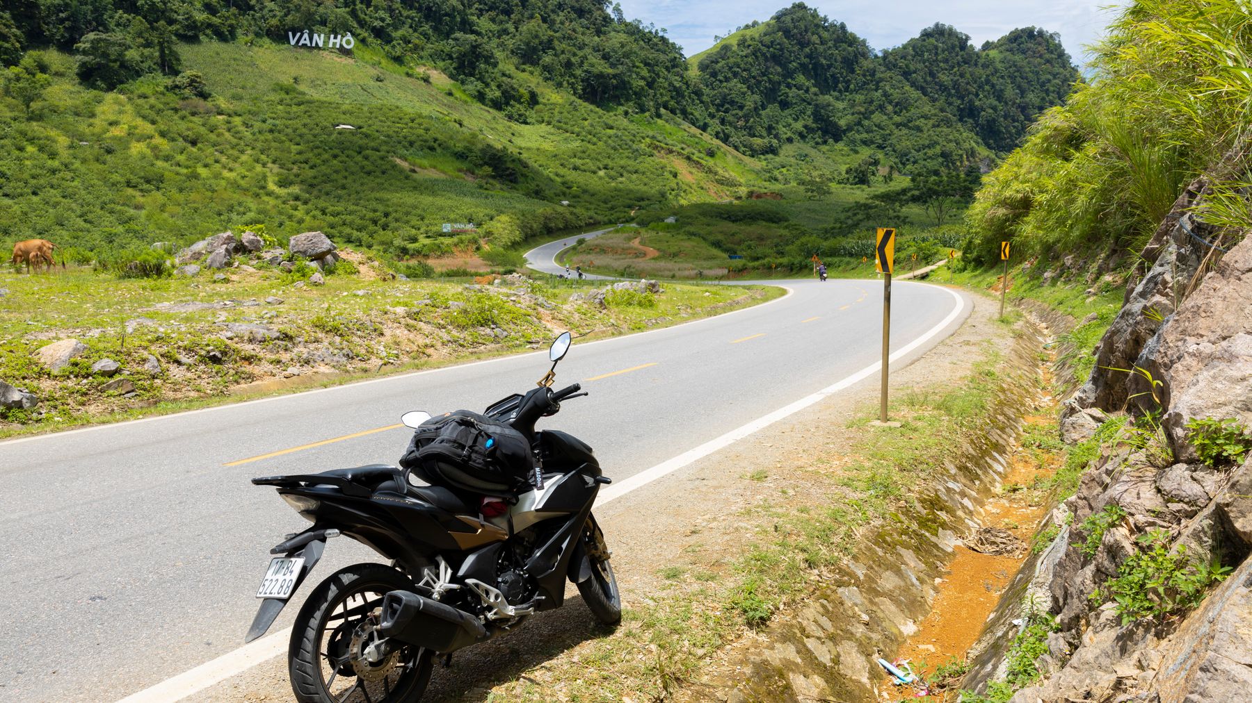
Photo by HONG SON on Pexels
Practical tips
- Fuel up in Sapa. There's no gas station on the pass itself. The next reliable fuel is in Tam Duong, 50 km away.
- Layer up. Even in summer, the summit is 10-15 degrees cooler than Sapa town. Wind chill on a motorbike makes it worse. A light jacket and gloves matter.
- Watch for trucks. The road is shared with construction trucks and tourist buses. They take wide lines on blind corners. Honk before bends.
- Start early. Fog typically rolls in by early afternoon, especially October through March. Morning light is better for photos anyway.
- Check road conditions in rainy season. Landslides happen. Ask your hotel or a local motorbike shop before heading out June-August.
Common mistakes
- Underestimating the cold. Riders in shorts and flip-flops at the summit is a regular sight. They're all miserable. Dress for 8-12°C with wind.
- Skipping the Lai Chau descent. The Sapa side gets all the tourist traffic, but the western descent is where the road gets truly dramatic. If you have time, ride the full thing.
- Going midday. By noon, the summit is often fogged in. You'll see white. Leave by 7-8 AM.
- Not carrying cash. Waterfall entries, roadside snacks, and emergency repairs all require cash. ATMs exist in Sapa but nowhere on the pass.
Practical notes
Deo O Quy Ho works as a half-day trip from Sapa or as part of a longer northwest loop connecting to Lai Chau, Mu Cang Chai, or even Ha Giang. Budget 3-4 hours for a relaxed out-and-back to the summit, or a full day if you're crossing to Lai Chau and returning via a different route. The road is in good condition as of early 2025 — no permits needed, no entry fees for the pass itself.
Last updated · May 26, 2026 · independently researched, never sponsored.