
What is Hon Mu Cu?
Hon Mu Cu is a mountain peak in the western highlands of Quang Ngai province, sitting in the rugged terrain where Quang Ngai's borders meet Kon Tum province. It rises above 1,500 meters in the Truong Son range — the spine of mountains that runs down central Vietnam (베트남 / 越南 / ベトナム) — and remains one of the least-visited trekking destinations in the region. The surrounding area is home to H're and Co ethnic minority communities who've farmed these slopes for generations, growing cassava, rice, and cinnamon.
Unlike the more trafficked peaks around Sapa or Ha Giang up north, Hon Mu Cu has no established tourism infrastructure. That's both the draw and the challenge. You come here for unmanaged forest, village life that hasn't been repackaged for visitors, and the kind of quiet that's getting harder to find in Vietnam.
Why travelers go
Hon Mu Cu attracts a specific type of traveler — mostly Vietnamese trekking groups and the occasional foreign hiker who's already done the well-known routes and wants something raw. The mountain sits inside dense subtropical forest with old-growth trees, and the trails pass through ethnic minority villages that see very few outsiders.
The appeal is straightforward: elevation, forest, and solitude. On clear days from the upper ridges, you can see across the western highlands toward Kon Tum and down toward the Quang Ngai coast. The trek itself is physically demanding, which keeps visitor numbers low.
Best time to visit
Aim for February through May or August through September. The dry season in the central highlands (중부 고원 / 中部高原 / 中部高原) generally runs from January to April, giving you the best trail conditions. February and March offer cooler temperatures at altitude — expect 15-22°C during the day and as low as 8-10°C at night near the peak.
Avoid October through December entirely. This is when Quang Ngai gets hammered by the northeast monsoon, and the mountain trails become genuinely dangerous — mudslides, leeches in serious numbers, and zero visibility. June and July are transitional; you might get lucky with weather windows, but river crossings on the approach can swell unpredictably.
How to get there
The nearest major transport hub is Quang Ngai city, roughly 130 km to the east on the coast.
From Da Nang: Take a train or bus south to Quang Ngai city. Buses from Da Nang's central bus station run frequently and cost around 120,000-150,000 VND (3-4 hours). The Reunification Express train takes about 3 hours and costs 80,000-180,000 VND depending on seat class.
From Quang Ngai city to the trailhead: You'll need to head west into the highlands, toward the districts of Son Tay or Ba To. This is a 3-4 hour motorbike or car ride on provincial roads — some paved, some not. Hiring a local driver from Quang Ngai city costs around 800,000-1,200,000 VND one way. A xe om (motorbike taxi) is cheaper at 400,000-600,000 VND, but you'll feel every pothole.
There's no public bus that goes directly to the trailhead area. You need either your own motorbike (experienced riders only — the roads are narrow and steep) or a pre-arranged driver. Most trekkers coordinate through local guides who handle transport as part of their package.
Hiring a local guide
This isn't optional. The trails aren't marked, phone signal drops out in the forest, and you'll need someone who speaks the local language to interact with village communities along the route. Guides typically charge 500,000-800,000 VND per day and can be arranged through guesthouses in Ba To town or through trekking groups in Quang Ngai city. Ask at your accommodation — word of mouth is how it works out here.

Photo by Lucas Tran on Pexels
What to do
Trek to the summit. The main event. Most groups take 2 days and 1 night, camping near the ridgeline. The trail gains serious elevation through dense forest — expect around 6-8 hours of hiking on day one. Bring proper footwear; the terrain is roots, rocks, and mud even in dry season.
Visit H're villages on the approach. The villages along the route to Hon Mu Cu still practice traditional weaving and rice wine production. If your guide has connections — and a good one will — you can sit in on a meal or see the communal longhouses. Don't show up unannounced; these aren't tourist villages.
Swim in highland streams. Several clear streams cross the lower trails, fed by mountain runoff. After hours of hiking in humidity, these are genuinely welcome. Your guide will know which ones are safe for swimming.
Photograph the forest canopy. The old-growth forest around Hon Mu Cu hasn't been logged recently, and some of the trees are enormous. Early morning light through the canopy, especially when mist is rising, is the kind of thing that makes the trek worth it.
Camp on the ridgeline. If your route includes an overnight, the camping spots near the upper ridge give you a sunset over the highlands that earns every blister from the day's climb.
Where to eat nearby
Don't expect restaurants. In the highland villages and Ba To town, meals are simple and home-cooked.
Look for "com ga" — chicken rice — in Ba To town before you head into the mountains. The chickens here are free-range highland birds, smaller and chewier than what you'd get on the coast. Served with a plate of herbs and chili salt, it's honest food.
In the villages, if you're invited to eat, you'll likely get sticky rice, boiled cassava, greens, and "ruou can" — rice wine drunk communally through bamboo straws from a shared jar. Participating is a sign of respect.
Where to stay
In Ba To town, basic guesthouses ("nha nghi") run 150,000-300,000 VND per night. Clean enough, fan or air-con, hot water if you're lucky. Don't expect English-speaking staff.
On the mountain, you're camping. Bring your own gear or confirm with your guide that they provide tents and sleeping bags. Nights at altitude get cold — a proper sleeping bag rated to 5°C is worth carrying.
In Quang Ngai city, you'll find more options ranging from budget hotels at 250,000-400,000 VND to mid-range places around 600,000-900,000 VND. Stay a night here before and after the trek to rest up.
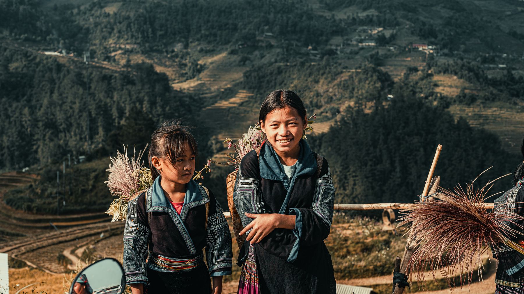
Photo by Quý Nguyễn on Pexels
Practical tips locals would tell you
- Bring cash. There are no ATMs past Ba To, and nobody up here takes cards.
- Pack leech socks or tall gaiters, even in dry season. The forest floor stays damp.
- Carry your own water purification. Stream water is clean-looking but you want a filter or tablets to be safe.
- Learn a few phrases in Vietnamese beyond "xin chao." English gets you nowhere in the highlands. "Bao nhieu" (how much) and "cam on" (thank you) are minimum.
- Charge everything in Ba To. Power on the mountain is whatever portable battery you brought.
Common mistakes to avoid
Going without a guide. This isn't Fansipan with its cable car. People have gotten lost in these forests. A guide isn't a luxury; it's how you get back.
Underestimating the physical demand. This is a proper trek with real elevation gain through unmanicured trail. If your last hike was a paved path to a viewpoint, train first.
Showing up in rainy season. The trails aren't maintained. After heavy rain, they don't just get muddy — sections wash out entirely.
Not bringing enough food. There are no convenience stores on the trail. Pack more than you think you need. Instant noodles, dried fruit, nuts, and energy bars are your friends.
Practical notes
Hon Mu Cu is genuinely remote, and that's the whole point. Budget at least 4 days for the full experience — one day getting to Ba To, two days on the mountain, one day getting back to Quang Ngai city or onward to Da Nang or Hoi An. This isn't a weekend side trip; it's a commitment, and it rewards accordingly.
Last updated · May 29, 2026 · independently researched, never sponsored.





