
Nui Ca Dam sits at 1,416 meters above sea level in the western highlands of Quang Ngai province, where the coastal lowlands give way to the Truong Son range. It's the kind of mountain that most Vietnamese trekkers know by reputation but few foreign travelers have heard of — which is exactly why it's worth the trip.
What It Is and Why It Matters
Nui Ca Dam is the highest point in Quang Ngai, straddling the border area between Quang Ngai and Kon Tum provinces in the Central Highlands (중부 고원 / 中部高原 / 中部高原). The mountain is part of a broader forested landscape home to the Co and Hre ethnic minority communities who've lived in its foothills for generations. The trek passes through patches of primary forest — thick canopy, moss-covered roots, the works — and opens up at the summit to wide views over the central coast and highland ridgelines.
This isn't a polished tourism product. There are no ticket booths, no cable cars, no coffee shops at the top. You're walking through working forest and minority villages. That's the appeal.
Why Travelers Go
Three reasons, mainly. First, the trek itself is genuinely challenging — around 15 km round trip with roughly 1,000 meters of elevation gain, depending on your starting point. It's a full day of proper hiking, not a staircase walk. Second, the forest between 800m and the summit is dense and largely undisturbed, with old-growth trees, ferns taller than you, and a silence you don't get on popular trails like Fansipan or Ta Nang. Third, the summit view on a clear morning stretches from the coast near Quang Ngai city all the way west into the highlands toward Kon Tum — a panorama that earns its reputation.
If you've done Sapa's main trails and want something rougher, less commercial, and further south, Ca Dam delivers.
Best Time to Visit
Aim for February through May. The dry season in Quang Ngai runs roughly from January to August, but the early months are cooler and the trails are in better shape. March and April hit the sweet spot — less rain, moderate temperatures (18-24°C on the mountain), and clear mornings for summit views.
Avoid September through December entirely. The central coast gets hammered by monsoon rains during this window, and the trails on Ca Dam become slippery, muddy, and occasionally impassable. Leeches are also significantly worse in the wet months.

Photo by AN Nhol on Pexels
How to Get There
The usual starting point for the trek is Ba To town, about 90 km southwest of Quang Ngai city. From Da Nang, you're looking at roughly 250 km — a 4.5 to 5 hour drive south on the QL1A, then turning inland on QL24 toward Ba To.
From Quang Ngai city, take QL24 west. The drive is about 2 hours by motorbike or private car. Local buses run the Quang Ngai–Ba To route daily, departing from Quang Ngai bus station, for around 60,000–80,000 VND. They're slow but functional.
Most trekkers arrange transport to the trailhead village (typically Ba Trang or nearby communes) from Ba To. A "xe om" (motorbike taxi) from Ba To to the trailhead runs about 100,000–150,000 VND one way. If you're coming with a tour operator or local guide, they'll usually handle this leg.
Do You Need a Guide?
Yes. The trail isn't marked, it forks in places, and sections above 1,000m are easy to lose in cloud cover. Local Hre and Co guides know the mountain intimately and charge between 500,000–800,000 VND per day. Arrange one through your guesthouse in Ba To or contact the Ba To district tourism office. Don't freelance this — people have gotten lost up there.
What to Do
1. The Summit Trek
The main event. Most groups start at dawn (around 5:00 AM) from the trailhead village and reach the summit by late morning. The first few kilometers wind through bamboo groves and farmland before hitting the treeline. Above 900m, the forest gets thick — aerial roots, epiphytes, and the occasional huge "cho chi" tree. The final push to the summit is steep but short. Allow 5-6 hours up, 3-4 hours down.
2. Visit a Hre Village
The communes around Ca Dam's base are home to the Hre people, one of Vietnam's smaller ethnic groups. If you're trekking with a local guide, ask to stop at their village on the way in or out. The traditional stilt houses, community "rong" houses, and rice wine culture here are genuine — this isn't a staged ethnic village experience.
3. Swim at Suoi Mo Waterfall
About 20 km from Ba To town, Suoi Mo is a worthwhile side trip before or after the trek. The pools are deep enough to swim in during the dry season, and the area is shaded and quiet on weekdays.
4. Explore Ba To Town
Ba To itself is a small highland market town with a morning market worth wandering. You'll find local hill rice, dried forest mushrooms, and honey from highland bees — all decent souvenirs if you're into that.
Where to Eat Nearby
Ba To isn't a food destination, but you eat well enough. Look for "com tam" (broken rice plates) at the small rice shops lining the main road — 30,000–45,000 VND for a plate with grilled pork and pickled vegetables. The local specialty worth seeking out is "ga nuong" — highland chicken grilled over charcoal, often served with salt, pepper, and lime. The chickens here are free-range and noticeably better than lowland birds. A whole grilled chicken runs about 250,000–350,000 VND at the informal eateries near the market.
If you pass through Quang Ngai city on the way, don't skip a bowl of "don" — a rice noodle and fish cake soup that's Quang Ngai's signature dish. The city is obsessed with it for good reason.
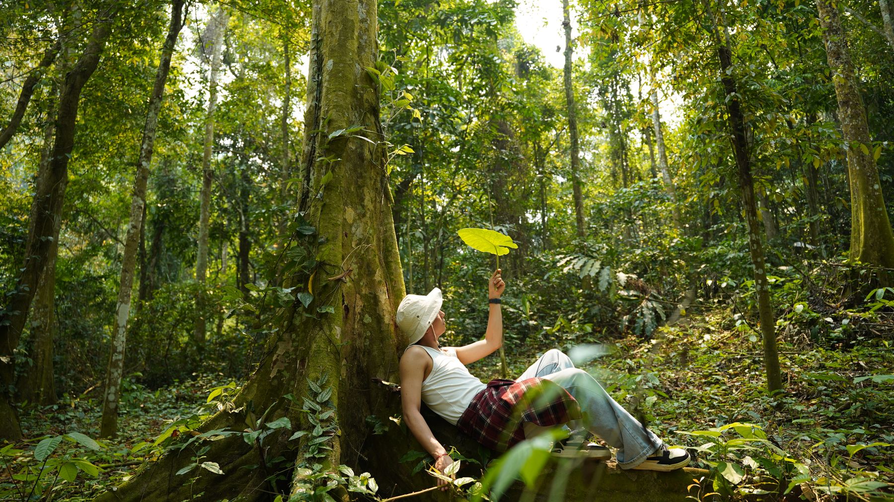
Photo by Huy Đặng Văn on Pexels
Where to Stay
Ba To has a handful of guesthouses ("nha nghi") along the main road. Expect basic rooms — fan or air-con, hot water if you're lucky — for 200,000–350,000 VND per night. Nha Nghi Thanh Binh and Nha Nghi Hung are two commonly used options. They're clean enough and the owners are used to trekkers.
For more comfort, base yourself in Quang Ngai city (plenty of hotels in the 400,000–800,000 VND range) and drive to Ba To early in the morning.
Some trekkers camp near the summit — your guide can arrange this. Bring your own gear or confirm in advance if the guide provides tents.
Practical Tips
- Bring leeches socks or gaiters, even in dry season. The forest floor above 800m stays damp.
- Carry at least 2.5 liters of water per person. There are stream crossings on the trail, but don't count on them in late dry season.
- Pack a rain shell regardless of forecast. Mountain weather here changes fast.
- Cash only in Ba To. The nearest ATMs are in Quang Ngai city. Bring enough VND for guides, accommodation, and food.
- Start early. Cloud cover typically rolls in by noon, killing summit views. A 5 AM departure from the trailhead is standard.
Common Mistakes to Avoid
Skipping the guide is the big one — every year someone tries to solo Ca Dam and ends up calling for help. The trails are not marked and GPS signal is unreliable under canopy. Another common mistake: underestimating the difficulty. This is a proper mountain hike with real elevation gain, not a nature walk. Wear proper shoes, not sandals. Finally, don't plan Ca Dam as a day trip from Da Nang (다낭 / 岘港 / ダナン) — the drive alone is nearly 5 hours each way. Stay in Ba To or Quang Ngai city the night before.
Last updated · May 26, 2026 · independently researched, never sponsored.





