Why Pleiku matters
Pleiku is the capital of Gia Lai Province in the Central Highlands (중부 고원 / 中部高原 / 中部高原), roughly 465 kilometers north of Ho Chi Minh City. With about 331,000 people (as of 2024), it's a working city, not a tourist showpiece—which is precisely why it's worth the detour. The city sits at an altitude of 700 to 800 meters, which means cooler air and green surroundings compared to the Delta. It's also the junction point where National Highway 14 and National Route 19 meet, making it a natural waypoint if you're traveling through the plateau region.
The name comes from Jarai, the language of one of the indigenous groups here: "Ploi" means "village," and "Kodur" means "upper" or "north." So Pleiku is simply "upper village." The French colonial administration first recorded the name in an 1905 decree creating Gia Lai Province.
The people and communities
Today, the Kinh ethnic group (ethnic Vietnamese) make up about 87.5% of Pleiku's urban population. But the surrounding districts are home to Gia Rai, Ba Na (Bahnar), and other indigenous mountain communities. You'll find ethnic-minority villages on the outskirts—Plei Op in Hoa Lu ward, Kep in Dong Da ward, Bruk Ngol in Yen The ward. Many of these settlements maintain traditional crafts and agriculture. If you're interested in minority culture without the heavy tourism infrastructure of northern Sapa, Pleiku offers quieter access to highland life.
The demographics shifted dramatically in the 20th century. In 1971, during the Republic of Vietnam (베트남 / 越南 / ベトナム) era, the city had only 34,867 residents. The influx of Kinh migrants and economic development has reshaped it into a Lowland-Vietnamese-majority city—a pattern seen across the Central Highlands.
History and the wars
Pleiku's modern history is inseparable from military strategy. During the First Indochina War (1946–1954), the city was a French stronghold. In June 1954, near the war's end, French forces executed a tactical withdrawal from An Khe northward to Pleiku while also attempting to reopen Route Coloniale 14 toward Buon Ma Thuot. This maneuver culminated in the Battle of Mang Yang Pass—the final major engagement of that war—where French and Viet Minh forces clashed in the highlands.
During the Second Indochina War (1955–1975), Pleiku became even more strategically vital. The U.S. military established Camp Holloway here as an airbase. In early 1965, a Viet Cong attack on Camp Holloway killed American servicemen and prompted the U.S. to escalate troop deployments—a turning point in American involvement. The city's central position between Kon Tum (north), Buon Ma Thuot (south), and enemy base areas across the Cambodian border made it the defensive hub of the entire South Vietnamese highlands.
On June 15, 1972, Cathay Pacific Flight 700Z, a Convair 880 en route from Bangkok to Hong Kong, exploded at 29,000 feet over Pleiku after a bomb detonated in a suitcase. All 81 people aboard were killed. It remains one of the deadliest aviation incidents of that era.
The city's most traumatic moment came in spring 1975, during the fall of Saigon. When North Vietnamese forces captured Buon Ma Thuot in early March, South Vietnamese President Nguyen Van Thieu ordered an emergency evacuation of Pleiku and Kon Tum. Over 100,000 civilians and soldiers attempted to flee southward on a poorly maintained tertiary road (LTL-7B) through Ayun Pa toward Tuy Hoa. The retreat descended into chaos. Tens of thousands were killed, captured, or left stranded without supplies—a catastrophic humanitarian event. The city fell to North Vietnamese forces on April 15, 1975, three days before the war's end.
Today, a few war-era monuments remain, including the original French administration buildings. None of this is presented as a theme-park attraction; it's simply the weight of the place.

Image by http://vi.wikipedia.org/wiki/Th%C3%A0nh_vi%C3%AAn:Dongson.vm via Wikimedia Commons (CC BY-SA)
Getting there and moving around
Pleiku Airport serves the city with flights from Hanoi and Ho Chi Minh City. Buses connect it to Buon Ma Thuot (3–4 hours south), Kon Tum (2–3 hours north), and Da Nang (5–6 hours northeast via National Route 14 and 19). The highway junctions are busy—trucks, motorbikes, and cars converge here constantly. If you're renting a motorbike to explore the highlands, Pleiku is a logical refueling point for fuel, food, and a night's rest.
The city sits about 181 kilometers from Buon Ma Thuot and 377 kilometers from Da Nang. If you're combining a highlands loop—Hanoi to Da Nang, down to Pleiku, across to Buon Ma Thuot, and back to Ho Chi Minh City—Pleiku anchors the western stretch nicely.
What to do
Pleiku isn't a bucket-list destination. There's no famous pagoda or beach. But if you're passing through or based here for work, the city has markets, coffee shops, and local eateries worth exploring. The administrative divisions break down into 14 wards (Chi Lang, Dien Hong, Dong Da, Hoa Lu, and others), each with its own neighborhood character. Ia Kring ward has a lively market. Hoa Lu ward borders the indigenous villages on the city's edge.
The surrounding highlands—accessible by motorbike or car—offer trekking, waterfall visits, and encounters with minority communities. But from Pleiku city proper, you're looking at a hub that serves the region rather than a destination unto itself.

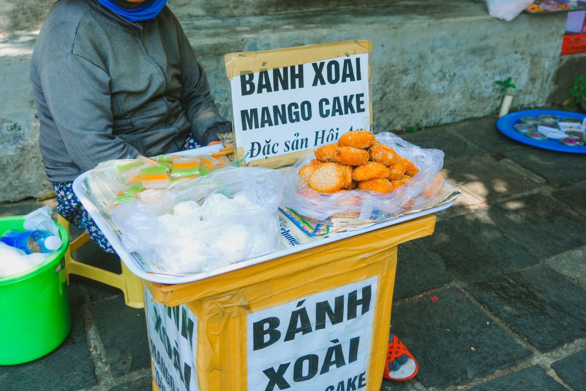
Image by Jensre via Wikimedia Commons (CC BY-SA)
The coffee connection
Gia Lai is one of Vietnam's major coffee-growing provinces. The surrounding plateaus are blanketed with robusta coffee plants. A few local cafes roast and serve the beans—not the refined culture you'd find in Hanoi, but honest, strong coffee. If coffee sourcing interests you, this is where much of Vietnam's export crop originates.
The city is also home to Hoang Anh Gia Lai, a professional football club with a significant following in Vietnamese soccer. If there's a match during your visit, catching one offers insight into local passion.
When to go
The Central Highlands plateau has a cooler climate than the lowlands. The dry season (November to April) offers clear skies and comfortable temperatures (15–25°C / 59–77°F). The rainy season (May to October) brings mist, cooler days, and occasional downpours. Many travelers prefer the dry months, but the rainy season's green landscape is beautiful if you don't mind the mud.
Pleiku is not a tourist trap. It's a real working city where you're more likely to see trucks, delivery vans, and locals going about their day than tour groups. That's its appeal—if you want to see how a Central Highlands provincial capital actually functions, without the packaged-tour gloss of more famous destinations, Pleiku delivers.
Last updated · May 26, 2026 · independently researched, never sponsored.