Day 1 — Sapa: arrive and Cat Cat village
Arrive in Sapa town (380 km northwest of Hanoi; most riders overnight in Hanoi, then leave early morning to beat afternoon rain). The town sits at 1,500 m altitude, so the air is cooler and the light is sharper than lowland Vietnam (베트남 / 越南 / ベトナム). Check into a guesthouse in the town center—Old Sapa Hotel or Auberge Sapa are mid-range options with working wifi. Rent a bike from one of the shops on Cau May street (250,000–350,000 VND/day for a 125cc semi-auto, cheaper for manual). Ask the rental shop for a hand-drawn map; they know the roads better than Google.
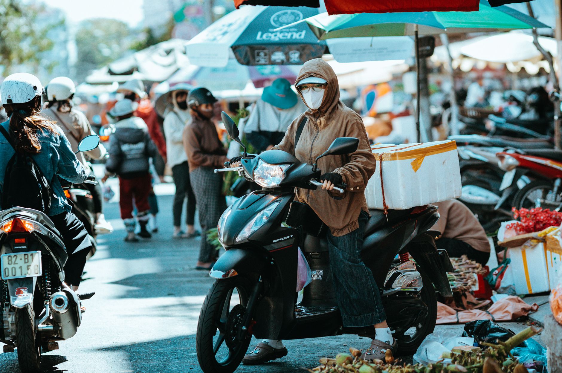
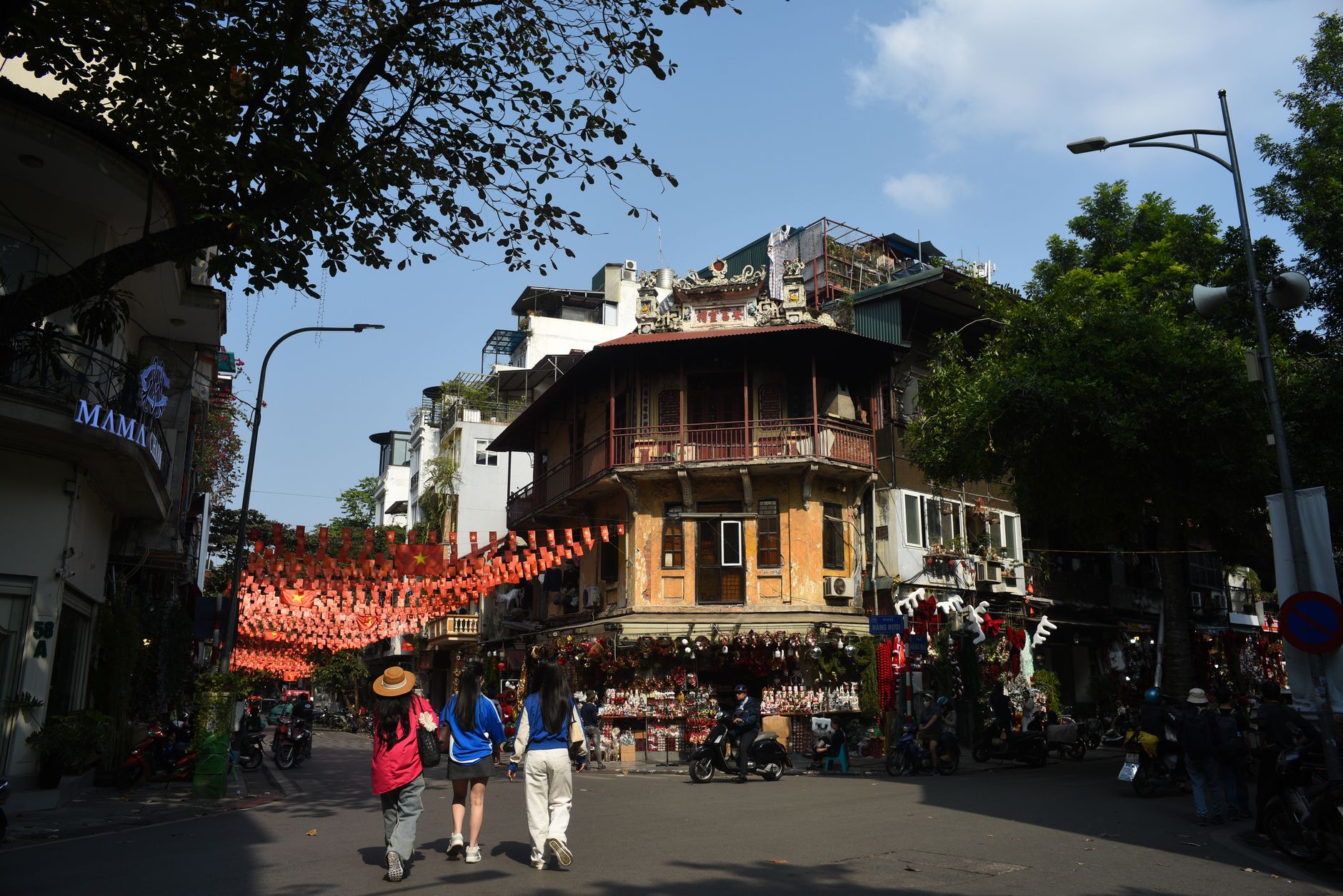
Head down to "Cat Cat village" in the afternoon—about 3 km downhill on a paved road. Cat Cat is a Black "Hmong" settlement built on the Muong Hoa valley side, full of homestays, craft stalls, and souvenir sellers, but the walk down to the waterfall and rice terraces is genuinely pleasant. Ride back uphill before dark (the road gets slick), then eat "pho" or "bun cha" at a shop near Sapa's main square. Most food here is overpriced for tourists; budget 60,000–80,000 VND for a bowl.
Day 2 — Sapa: Fansipan cable car and Muong Hoa valley trek
Start early. If you want to ride the Fansipan cable car (the highest point in mainland Southeast Asia, 3,143 m), book tickets the night before at the office on Thanh Cong street (adults 300,000 VND round-trip, or 250,000 for cable car only). The cable car takes 15 minutes, and the views are clearer in the morning. Alternatively, skip the cable car and hike—the Tonkinese Alps trail is steep and takes 6–8 hours round-trip; most riders on a five-day loop skip it.
Instead, ride or walk into the Muong Hoa valley on foot. Leave your bike at a parking spot near the Old Church (Sapa's white colonial landmark) and trek downhill for 1.5 hours through rice terraces, past Black Hmong and Red "Dao" villages. The valley is working farmland, not a theme park—you'll see people harvesting or working the fields depending on season. Bring water, wear sunscreen. Return to town by late afternoon. Dinner at Baguette & Chocolate (main square) is a tourist standard but the food is clean and the coffee is good (70,000–120,000 VND for mains).

*Image by Anthony22 (talk).
Original uploader was Anthony22 at en.wik via Wikimedia Commons (CC BY-SA)*
Day 3 — Sapa to Ha Giang: scenic transfer
This is a full riding day: roughly 160 km on National Highway 4 and smaller roads. The first 80 km are heavily populated—Lao Cai province, towns, trucks. The landscape flattens. Keep your bike in good shape and ride defensively; motorbike drivers often pass blindly on curves.
Around Lao Cai town, refuel and grab "banh mi" at any roadside stall (15,000–20,000 VND). The road improves after Bao Yen. From there, the terrain climbs again: you're entering Karst limestone country. The Ha Giang road (National Highway 2) gets narrower and quieter. Limestone peaks rise on both sides. Stop at a roadside rest shack to buy cold water and chat with locals.
Arrive in Ha Giang town by 4 pm. Book a guesthouse on Nguyen Hue street or around the main square (250,000–400,000 VND/night). The town is smaller and less touristy than Sapa (사파 / 沙坝 / サパ); there's one main street of shops and restaurants. Eat "com tam" (broken-rice) at a local joint for dinner—Ha Giang's food is simpler and cheaper than Sapa's. Walk around the night market on Tran Hung Dao street to get your bearings.
Day 4 — Ha Giang Loop: Quan Ba to Dong Van
This is the meat of the trip. The Ha Giang Loop is a 300+ km circuit of National Highway 2 and Provincial Road 154. Riders usually split it over two days; we'll do the western half today.
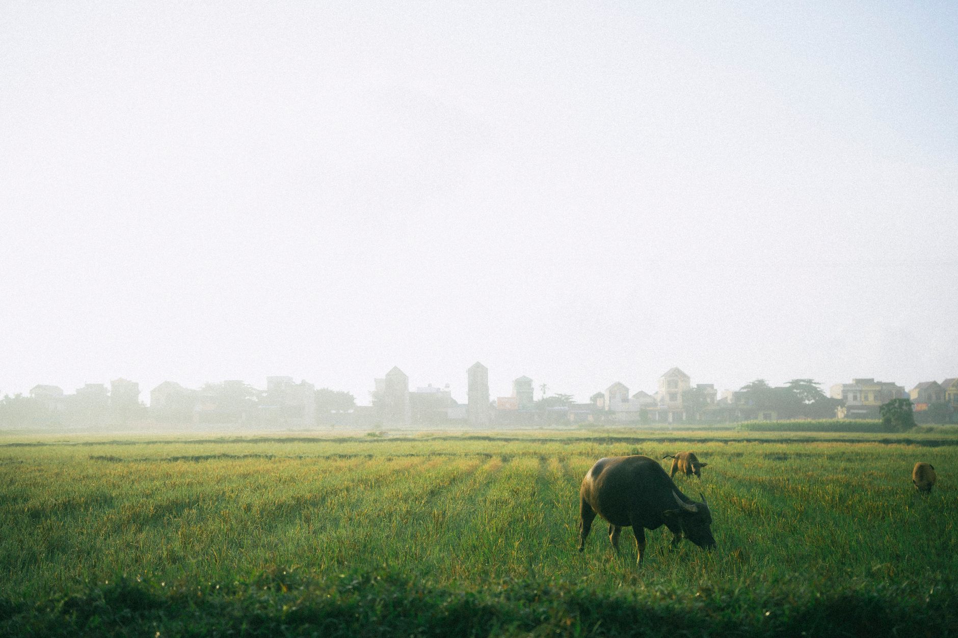
Leave early (6:30 am) from Ha Giang town heading north on Highway 2. The first 30 km are flat valley roads through agricultural land—rice, corn, cassava. At Quan Ba (35 km), the landscape explodes. "Twin peaks" (Nui Doi) jut from the valley floor—two limestone domes you've probably seen in travel photos. Stop and walk around; the road climbs into forested hills. This section is the most scenic and the most touristy.
Continue on Highway 2 toward Yen Minh (70 km from Ha Giang). The road narrows and climbs through cloud forest. You'll pass Hmong and Tay villages. Stop at one for lunch—a small restaurant near the road will serve pork stir-fry and rice for 40,000–50,000 VND. The riding is technical but not dangerous if you're comfortable with a motorbike on mountain curves.
From Yen Minh, head east toward Dong Van (another 40 km). The landscape becomes drier—you're in limestone plateau country now, fewer trees, more exposed rock. Dong Van is a small market town famous for its Sunday ethnic market (if you're there on Sunday, arrive early). Check into a guesthouse near the market. Eat at a family restaurant—Dong Van's food is heavy on organ meats (liver, stomach, intestines) because it's rural and uses the whole animal. If that's not for you, order chicken and rice.

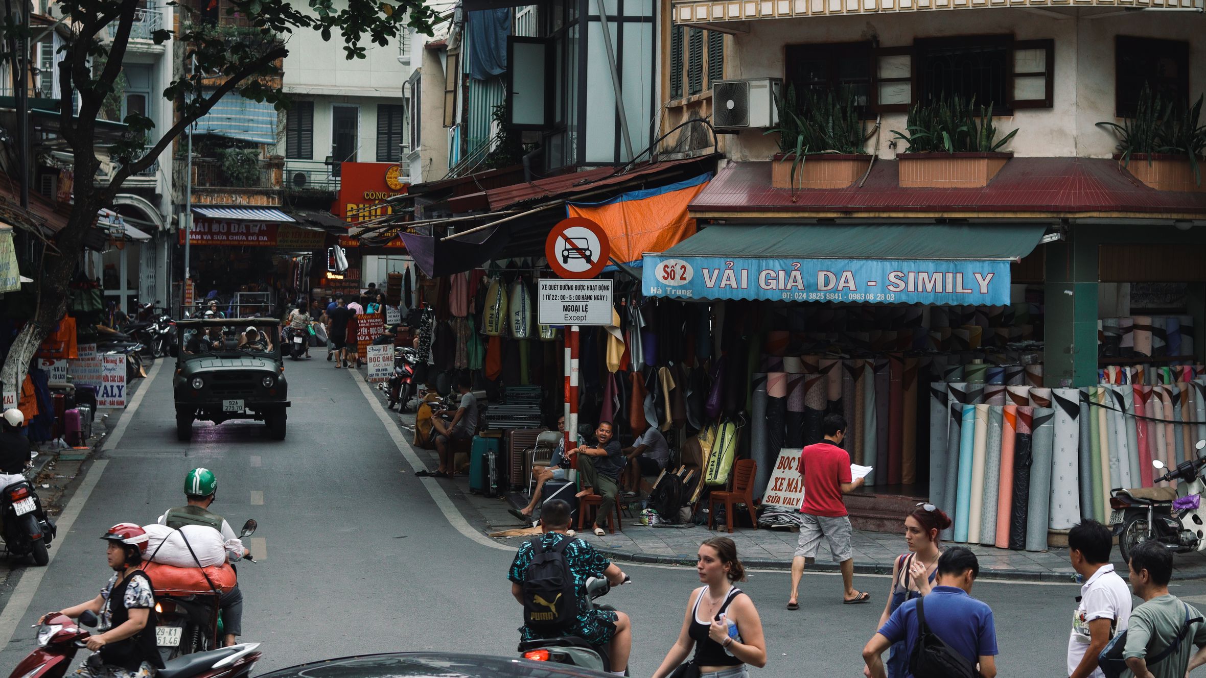
Image by Martin2035 via Wikimedia Commons (CC BY-SA)
Day 5 — Ha Giang Loop: Ma Pi Leng Pass and return to Ha Giang town
Today completes the loop. Leave Dong Van early and ride south on Provincial Road 154 to Meo Vac (35 km). Meo Vac sits on a hillside with sweeping views of the Red River valley below. It's less touristy than Dong Van and feels more isolated. Stop for lunch at a small shop.
From Meo Vac, the road heads west over the "Ma Pi Leng Pass" (1,850 m), the highest point on the loop and often called the most beautiful motorbike pass in Vietnam. The road clings to the mountainside with hairpin curves and drop-offs—ride slowly and stay in your lane. The Red River valley opens below. It's genuinely stunning without being crowded. Stop at the pass viewpoint (marked by roadside shops selling snacks and "ca phe sua da") and walk around.
From the pass, descend for 40 km back toward Ha Giang town, passing through more Hmong villages. The road is rough in patches but rideable. You'll reach Ha Giang by late afternoon. Return your bike to the rental shop and rest. If you have an evening flight or bus to Hanoi, eat an early dinner and head out; if you're staying overnight, explore the night market again and rest up.
Frequently Asked Questions
How far is Sapa from Hanoi and how should I get there?
Sapa sits 380 km northwest of Hanoi. Most riders overnight in Hanoi first, then leave early morning to beat afternoon rain. The town sits at 1,500 m altitude, making the air noticeably cooler than lowland Vietnam. Once in Sapa, rent a 125cc semi-auto bike from shops on Cau May street for 250,000-350,000 VND per day.
What does it cost to rent a motorbike and ride the Fansipan cable car in Sapa?
Motorbike rental on Cau May street runs 250,000-350,000 VND per day for a 125cc semi-auto, less for a manual. The Fansipan cable car, which reaches 3,143 m - the highest point in mainland Southeast Asia - costs 300,000 VND round-trip or 250,000 VND for the cable car only. Book tickets the night before at the office on Thanh Cong street; morning rides give the clearest views.
When should I leave Sapa to reach Ha Giang in one day?
Leave Sapa early to complete the roughly 160 km transfer to Ha Giang on National Highway 4 and smaller roads, arriving by 4 pm. The first 80 km through Lao Cai province are heavily trafficked with trucks. Stop in Lao Cai town to refuel and grab a banh mi for 15,000-20,000 VND. The road narrows and quiets after Bao Yen as limestone karst peaks begin rising on both sides.
Practical notes
Bring an International Driving Permit or a Vietnamese motorbike license (or a notarized copy of your home license in English)—technically required, rarely enforced for tourists on short-term rentals, but carry it anyway. Helmet, gloves, and sturdy shoes are non-negotiable. The roads are good but narrow; ride defensively and assume Vietnamese drivers will pass without signaling. Petrol costs roughly 30,000 VND/liter. Book guesthouses a night or two in advance, especially if traveling during high season (September to November). Bring rain gear—even in dry season, mountain weather changes fast.
Last updated · May 29, 2026 · independently researched, never sponsored.