Deo Pha Din sits at the border of Son La and Dien Bien provinces, climbing to about 1,648 meters above sea level across 32 kilometers of switchbacks, fog, and exposed ridgeline road. It's one of the four great passes of northwest Vietnam (베트남 / 越南 / ベトナム) — and unlike some of the others, it doesn't get nearly as much traffic.
What it is + a bit of history
The name Pha Din comes from the Thai language — roughly translated as "where sky meets earth," which is less poetic exaggeration than you'd think once you're actually up there in the clouds. The pass connects Thuan Chau district (Son La) to Tuan Giao district (Dien Bien) along National Road 6.
During the 1954 battle of Dien Bien Phu, this pass was a critical supply route. Thousands of porters and soldiers moved weapons, rice, and ammunition through these mountains on foot and by bicycle. You'll see a few memorial markers along the road — small concrete pillars that are easy to miss if you're not looking.
Today it's a paved two-lane road. The old pass road (the original pre-2005 route) still exists as a rougher, narrower track that branches off the main highway. Both are rideable.
Why travelers go
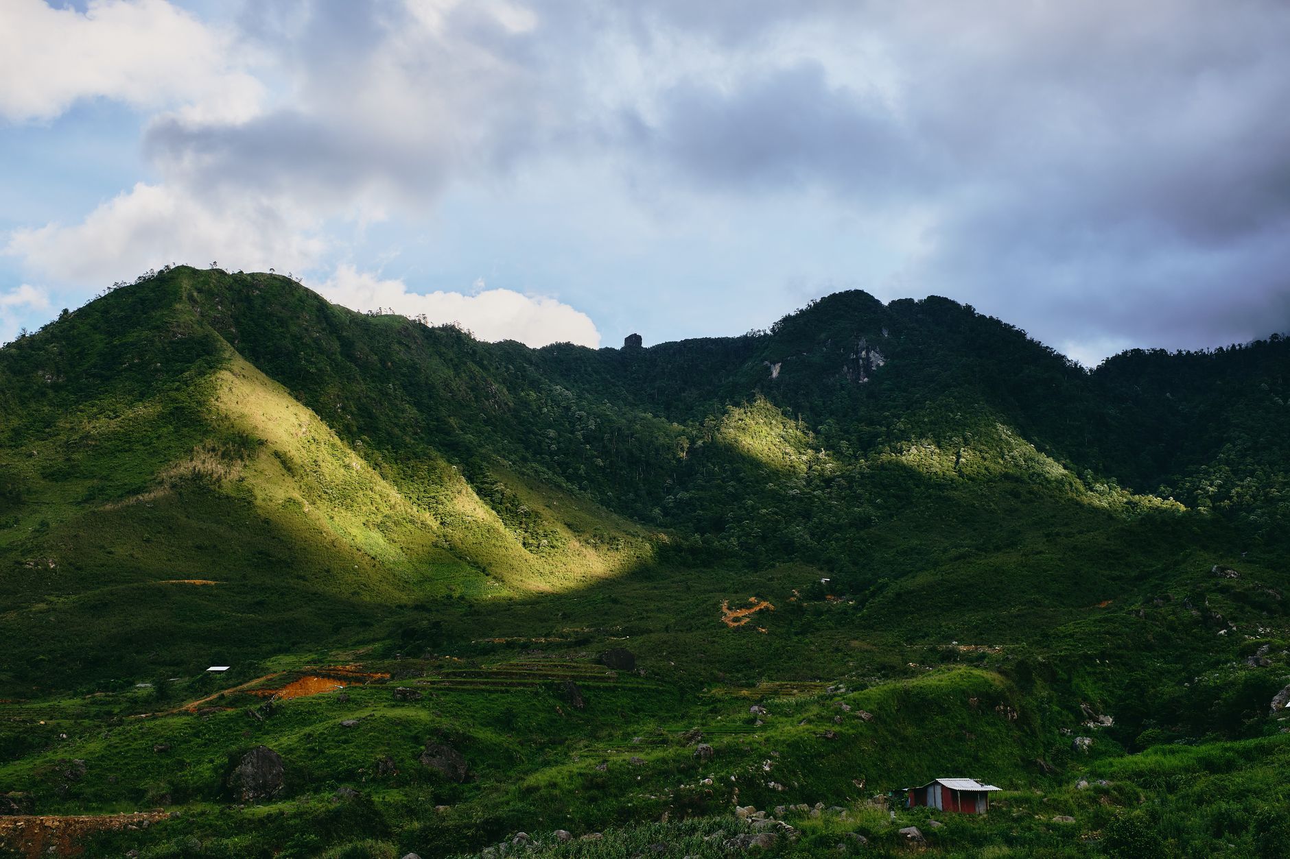
Pha Din doesn't have the Instagram fame of the Ha Giang loop or the tourist infrastructure of Sapa. That's part of the appeal. The pass rewards you with long views over terraced valleys, Black Thai villages tucked into hillsides, and stretches where you won't see another tourist for an hour. It's a serious ride — not technically extreme, but sustained enough that you feel it in your forearms and your focus by the end.
For motorbikers doing a northwest loop (Hanoi – Mai Chau – Son La – Dien Bien Phu – Lai Chau – Sapa (사파 / 沙坝 / サパ) – Hanoi), Pha Din is the natural centerpiece of the Son La-to-Dien Bien leg.
Best time to visit
October through December is the sweet spot. Skies are clearer, temperatures at altitude hover around 15–22°C during the day, and the rice terraces in the valleys below are either golden or freshly harvested. The road is dry and grippy.
March and April also work — wildflowers bloom along the hillsides, and the mornings have a cool edge before the heat builds.
Avoid June through August if you can. Heavy rain makes the road slick, fog can cut visibility to 20 meters on the upper sections, and landslides occasionally close portions of the route. It's not impossible, but you'll spend more time white-knuckling than enjoying the view.
How to get there
The nearest major hub is Son La city, about 80 km east of the pass summit.
- From Hanoi to Son La: Buses depart from My Dinh bus station, roughly 6 hours, 200,000–280,000 VND depending on the operator. Hai Au and Hung Thanh are reliable sleeper bus lines running this route daily.
- From Son La to the pass: Ride west on National Road 6. It's about 1.5–2 hours by motorbike to reach the start of the pass proper at Thuan Chau, then another hour through the switchbacks.
- By motorbike from Hanoi: Most riders do Hanoi to Mai Chau (day 1), Mai Chau to Son La (day 2), then Son La over Pha Din to Dien Bien Phu (day 3). Total distance Hanoi to Dien Bien Phu is roughly 470 km.
There's no train. The nearest airport is Dien Bien Phu (flights from Hanoi, around 800,000–1,500,000 VND one way on Vietnam Airlines), but then you'd be approaching the pass from the west side, which is a fine option if you want to rent a bike in Dien Bien Phu town.

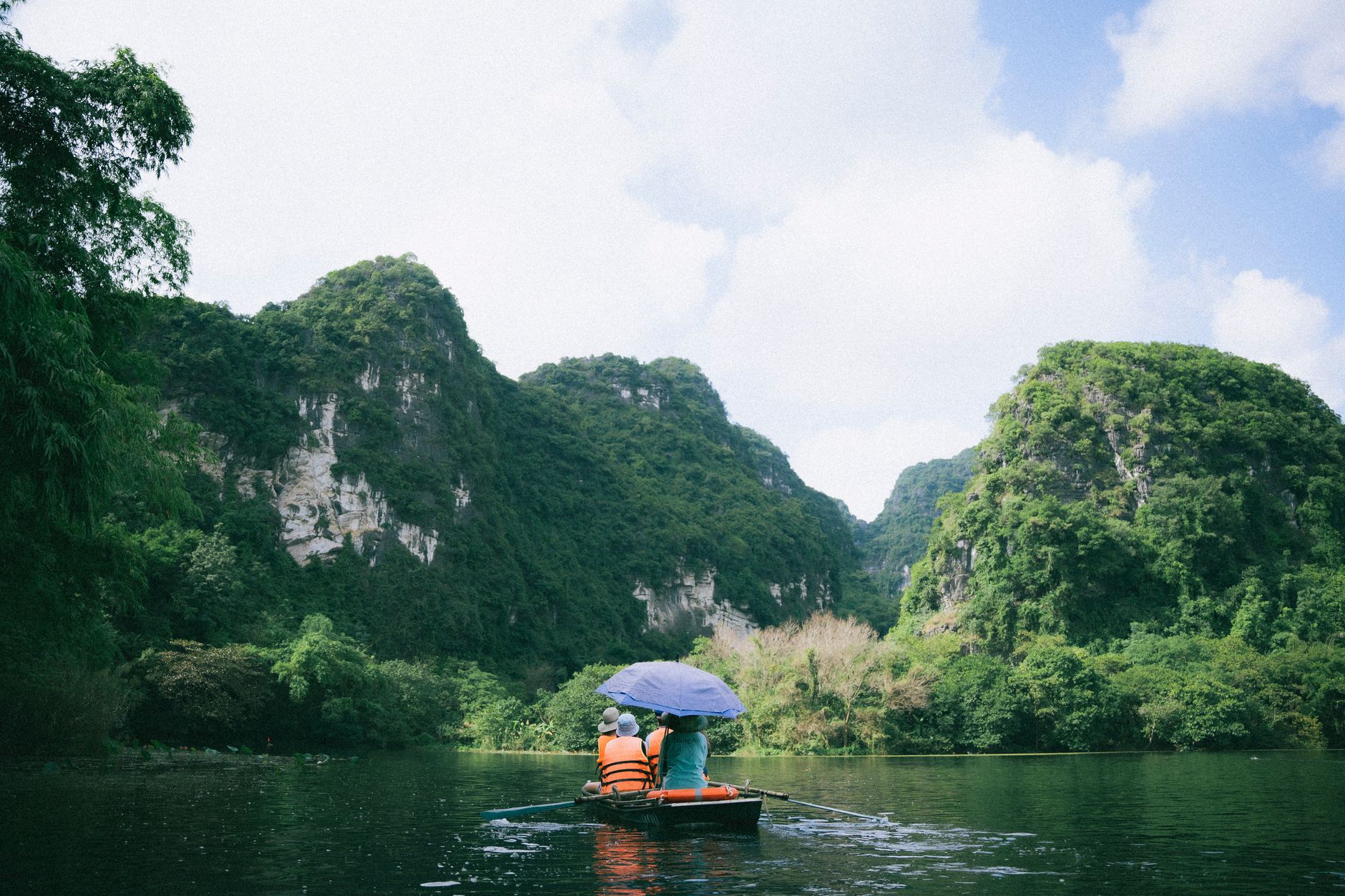
Photo by Sk4ter bol on Pexels
What to do
Ride the old pass road
The original Pha Din road — before the 2005 tunnel and realignment — branches off the main highway near the summit area. It's narrower, rougher, and significantly more dramatic. Concrete surface in parts, packed dirt in others. A semi-automatic or manual bike handles it fine in dry weather. Budget an extra 45 minutes.
Stop at the summit marker
At the highest point there's a stone marker and a small pull-off area. On a clear day you can see deep into both Son La and Dien Bien valleys. Early morning — before 8 AM — gives you the best chance of being above the cloud layer.
Visit a Black Thai village near Tuan Giao
Tuan Giao, on the Dien Bien side of the pass, is a small town surrounded by Thai ethnic minority villages. The stilt houses here are lived-in, not museum pieces. If you stop and buy something at a small shop, people are generally happy to chat (basic Vietnamese helps; a few words of Thai language go further). Don't walk into homes uninvited.
Walk through the terraced fields
Between Thuan Chau and the pass summit, several dirt tracks lead off the main road down into terraced rice paddies. Park the bike and walk for 20 minutes. These are working fields — stay on the paths between paddies and don't trample crops.
Continue to Dien Bien Phu
The pass drops you into Tuan Giao, and from there it's another 80 km west on good flat road to Dien Bien Phu city. The former battlefield, the museum, and the reconstructed French command bunker of Colonel de Castries are all worth a half-day.
Where to eat nearby
In Tuan Giao, look for "com lam" — sticky rice cooked inside bamboo tubes over charcoal. Sold at small stalls along the main road, usually 15,000–20,000 VND per tube. Pair it with grilled stream fish or "thit trau gac bep" (buffalo meat smoked over a wood fire), a regional specialty that shows up in local restaurants for about 80,000–120,000 VND per plate.
Son La city has more options — the morning market near the old prison ruins sells good "pho" and rice noodle soups from 30,000 VND.
Where to stay
- Tuan Giao: A handful of nha nghi (guesthouses) along the main road, 150,000–250,000 VND per night. Basic but clean enough. Hot water is not guaranteed — ask first.
- Son La city: More comfortable hotels in the 300,000–600,000 VND range. Trade Hotel and Son La Sunrise are decent mid-range picks.
- Dien Bien Phu: The widest range, from 200,000 VND guesthouses to the Muong Thanh hotel chain at around 700,000–900,000 VND.
There's no accommodation on the pass itself.

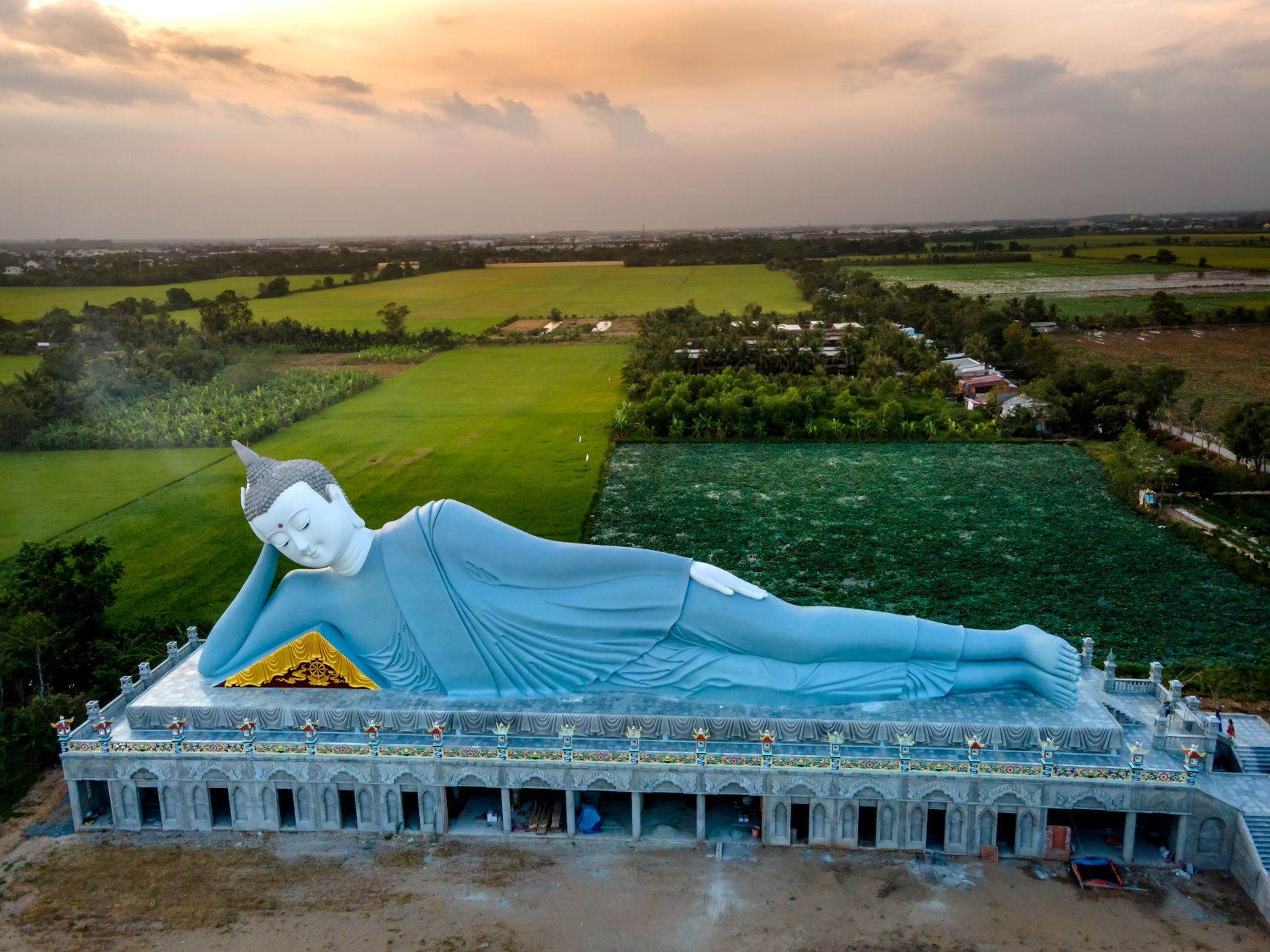
Photo by HONG SON on Pexels
Practical tips locals would tell you
- Fill your tank in Thuan Chau or Tuan Giao. There's no fuel station on the pass.
- Carry a rain jacket even in dry season — the summit is often 8–10°C cooler than the valley and fog rolls in fast.
- Trucks use this road. They take blind corners wide. Honk before every curve you can't see around.
- If riding in a group, keep spacing. Bunching up on switchbacks is how accidents happen.
- Phone signal is patchy on the pass — download offline maps before you start.
Common mistakes to avoid
- Starting too late. If you leave Son La after 10 AM, you'll hit the pass in midday heat and arrive in Tuan Giao with fading light. Leave by 7–8 AM.
- Underestimating the distance. The 32 km pass section is just one part of a longer riding day. Son La to Dien Bien Phu via Pha Din is about 170 km total — manageable but not short.
- Skipping the old road. The new highway is smoother and faster, but the original pass route is where the character is. If conditions allow, take it.
- Not checking brakes. The descent on either side is long and steep. Test your brakes before you start. If pads are thin, get them replaced in Son La — it costs about 50,000–80,000 VND.
Practical notes
Pha Din works best as part of a larger northwest Vietnam motorbike loop — most riders pair it with days in Mai Chau and Sapa. If you're not comfortable on a motorbike, hiring a driver ("xe om") from Son La or Dien Bien Phu for the day runs about 500,000–700,000 VND. Bring layers, bring patience, and don't rush the corners.
Last updated · May 29, 2026 · independently researched, never sponsored.