What Dinh Pha Luong actually is
Pha Luong sits at 2,000m above sea level in Moc Chau district, Son La province, roughly 200km northwest of Hanoi. The peak marks a section of the Vietnam (베트남 / 越南 / ベトナム)-Laos border, and the Vietnamese border guard maintains a station near the summit — which is why you'll need to register before climbing. The mountain isn't technically difficult, but the combination of altitude, distance, and exposed ridgeline keeps it from being a casual day hike.
The name comes from the Thai ethnic language spoken across much of Son La. Local H'mong and Thai communities have farmed the lower slopes for generations, and the trail passes through their villages before hitting the treeline. Unlike the more commercialized trekking around Sapa or Ha Giang, Pha Luong still operates on a smaller scale — no ticket booths, no cable cars, no crowds.
Why travelers go
The draw is straightforward: a legit mountain trek within a weekend's reach of Hanoi (하노이 / 河内 / ハノイ), without the tourist infrastructure that smooths out the edges of more popular destinations. The final ridgeline walk — narrow, grassy, with drop-offs on both sides — is the kind of terrain you remember. On clear mornings, the view stretches across layered valleys into Laos.
Pha Luong also appeals to people who want to camp above the clouds without committing to a multi-day expedition. Most trekkers do it in two days, one night, camping near the border station or on the ridge itself.
Best time to visit
The sweet spot is October through December. Skies are clearest, temperatures at the summit drop to 5-10°C at night (bring layers), and the dry season means the trail isn't a mud chute. January and February can work but get genuinely cold — below freezing on exposed sections — and fog often kills the views.
Avoid June through September. The trail becomes slippery and leeches are aggressive. March through May is hit-or-miss: warm but hazy, with occasional rain.
How to get there from Hanoi
You have two realistic options.
By motorbike
The most common approach. Hanoi to Moc Chau town is about 190km via National Road 6 (QL6), which takes 4.5-5 hours depending on how you handle the mountain passes past Hoa Binh. From Moc Chau town, continue another 30km toward the border area of Co Ma commune. The trailhead is near Ban Pha Luong village. Total ride: around 220km, one way.
If you don't have your own bike, rental shops in Hanoi's Old Quarter charge 150,000-200,000 VND/day for a Honda XR or Win. Fuel for the round trip runs about 200,000 VND.
By bus + local transport
Catch a bus from My Dinh bus station in Hanoi to Moc Chau town. Departures run throughout the day; tickets cost 120,000-180,000 VND and the ride takes about 5 hours. From Moc Chau, you'll need to arrange a "xe om" (motorbike taxi) to Co Ma and the trailhead — expect to negotiate around 200,000-300,000 VND one way, and arrange a pickup time for your return.

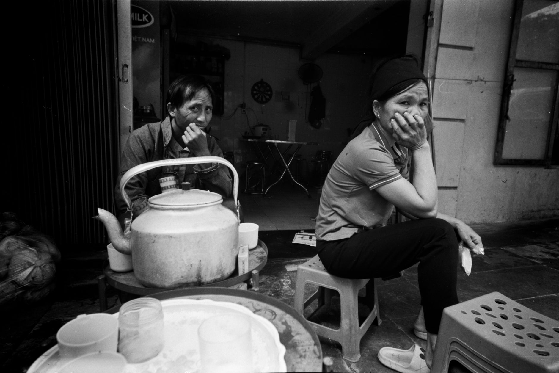
Photo by Hồng Quang Official on Pexels
What to do
Trek to the summit
The main event. The trail from Ban Pha Luong village to the summit is roughly 10-12km depending on your route, with about 800m of elevation gain. Most people take 4-5 hours going up, 3 hours coming down. The first half winds through bamboo forest and farmland; the second half opens onto grassland and the exposed ridge.
You must check in with the border station — bring your passport. Guards are used to trekkers and the process takes about 10 minutes.
Camp on the ridge
The flat area near the border station is the standard camping spot. There's a water source nearby (bring purification tablets or a filter). Watching the clouds roll through the valley at sunset, then again at dawn, is the whole point of staying overnight rather than rushing it as a day trip.
Walk through H'mong and Thai villages
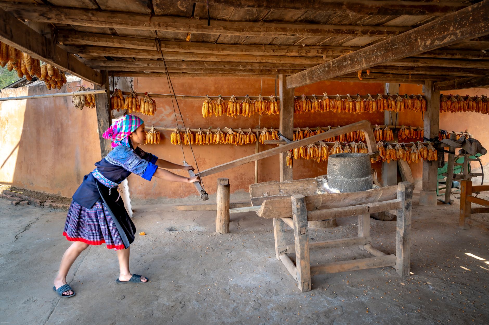
The lower trail passes through small settlements where families grow corn, rice, and plums. This isn't a curated "village experience" — just the reality of the route. Be respectful, don't photograph people without asking, and if someone offers you "ruou" (rice wine), it's rude to refuse outright. A small sip is fine.
Explore Moc Chau on the way back
Moc Chau itself is worth a half-day. The tea plantations are genuinely pleasant to walk through, and the town has decent food. If you're passing through between January and March, the plum and peach blossoms cover the hillsides.
Where to eat nearby
Moc Chau town is your best bet for a proper meal before or after the trek.
Look for "com lam" — sticky rice cooked inside bamboo tubes over charcoal, a staple across the northern highlands. Pair it with grilled stream fish or wild boar if available. Small restaurants along the main road through Moc Chau serve these for 50,000-80,000 VND per dish.
Also try "thit trau gac bep" — buffalo meat smoked and dried over a wood fire. It's chewy, salty, and goes well with rice wine. Vendors in Moc Chau market sell it by weight, around 300,000-400,000 VND per kilogram. Good trail snack, too.
If you're craving something familiar after two days on the mountain, a bowl of "pho" in Moc Chau town won't disappoint — highland beef tends to be leaner and more flavorful than what you get in Hanoi.
Where to stay
In Moc Chau town, homestays run 200,000-400,000 VND per night. Most are clean, basic, and include breakfast. A few guesthouses along QL6 have private rooms for 300,000-500,000 VND.
On the mountain itself, you're camping. Bring your own tent and sleeping bag — there's no rental service at the trailhead. A three-season sleeping bag rated to 0°C is the minimum for October-December nights at 2,000m.

Photo by Quang Nguyen Vinh on Pexels
Practical tips locals would tell you
- Register early. If you arrive at the border station after 4pm, guards may turn you away until morning. Plan to reach the checkpoint by early afternoon.
- Bring cash. There are no ATMs past Moc Chau town, and nobody up here takes cards.
- Pack 3+ liters of water per person for the trek. The water source near the summit is seasonal and not guaranteed.
- Wear gaiters or long socks tucked into your pants during wet months. Leeches are small, persistent, and painless until you see the blood.
- Hire a local guide if it's your first time. Villagers in Ban Pha Luong offer guiding for 300,000-500,000 VND per day. The trail isn't always obvious, especially in fog.
Common mistakes to avoid
Treating it like a day trip from Hanoi. The 5-hour drive each way plus a 4-5 hour climb doesn't leave margin. Stay overnight in Moc Chau or camp on the mountain.
Underestimating the cold. People show up in October with a hoodie and regret it by 2am. Temperatures on the ridge can drop sharply after sunset. A proper jacket, thermal layer, and warm sleeping bag aren't optional.
Skipping the border check-in. Guards patrol the ridge. Getting caught without having registered means getting escorted back down. It's not a suggestion — it's a requirement.
Practical notes
Pha Luong works best as a long weekend from Hanoi: drive up Friday afternoon, trek Saturday, descend and drive back Sunday. The mountain doesn't require technical climbing skills, but it does require basic fitness and proper gear. If you're planning a broader northern Vietnam trip, it pairs well with a few days exploring Moc Chau's tea country before heading further northwest toward Mai Chau or continuing to Son La city.
Last updated · Apr 19, 2026 · independently researched, never sponsored.