What It Is
Nui Dau Rong — Dragon's Head Mountain — sits in what is now Phu Tho province, in the hilly transition zone where the Red River Delta starts crumpling into the northern midlands. The mountain tops out around 600 meters and gets its name from a ridgeline that, viewed from the southeast, resembles the profile of a dragon lifting its head. The area was formerly administered under Hoa Binh province before district-level boundary changes folded it into Phu Tho's jurisdiction.
This is ancestral Muong territory. The surrounding villages still keep Muong stilt-house architecture, and the forested slopes have been used for foraging and small-scale farming for generations. There's no ticket booth, no cable car, no souvenir gauntlet. It's a local mountain with a local trail, and that's exactly the appeal.
Why Travelers Go
Most people come for the hike itself — a moderately challenging half-day trek through secondary forest with a clear ridgeline payoff at the top. The summit views open north toward the tea plantations of Phu Tho and southwest into the limestone karst that characterizes Hoa Binh. On clear mornings you can trace the Da River valley.
Beyond the trail, the area works as a quiet overnight outside Hanoi that doesn't require the 5-6 hour drive to Sapa or Ha Giang. It pairs well with a visit to the Hung Kings Temple complex — the spiritual heart of Vietnamese origin mythology — which sits about 30 km to the east in Viet Tri city.
Best Time to Visit
The sweet spot is October through March. Skies are clearest in November and December, temperatures at the summit hover around 15-18°C, and the trail isn't slick with mud. January and February can get foggy, which some people enjoy but it kills the views.
Avoid June through August unless you enjoy hiking in 35°C heat with 90% humidity and afternoon thunderstorms that turn the trail into a creek. September is technically monsoon tail-end — still risky for landslip on the steeper sections.
How to Get There from Hanoi
Nui Dau Rong is roughly 90 km from central Hanoi (하노이 / 河内 / ハノイ), most of it on the Noi Bai - Lao Cai expressway (CT05) before you exit toward Thanh Son district.
By motorbike: The most common approach. Take the expressway to the Phong Chau exit, then follow QL32C south toward Thanh Son. Total ride time is about 2-2.5 hours depending on your exit traffic in Hanoi. Fuel cost roughly 80,000-100,000 VND round trip on a 125cc bike.
By bus + xe om: Catch a bus from My Dinh station to Thanh Son town (around 100,000-120,000 VND, 2.5 hours). From Thanh Son, you'll need a local xe om (motorbike taxi) for the last 10-12 km to the trailhead — negotiate 50,000-70,000 VND one way. There's no Grab coverage here.
By car: Same route, slightly faster. If you're hiring a private car from Hanoi, expect 1,500,000-1,800,000 VND for a day trip with waiting time.

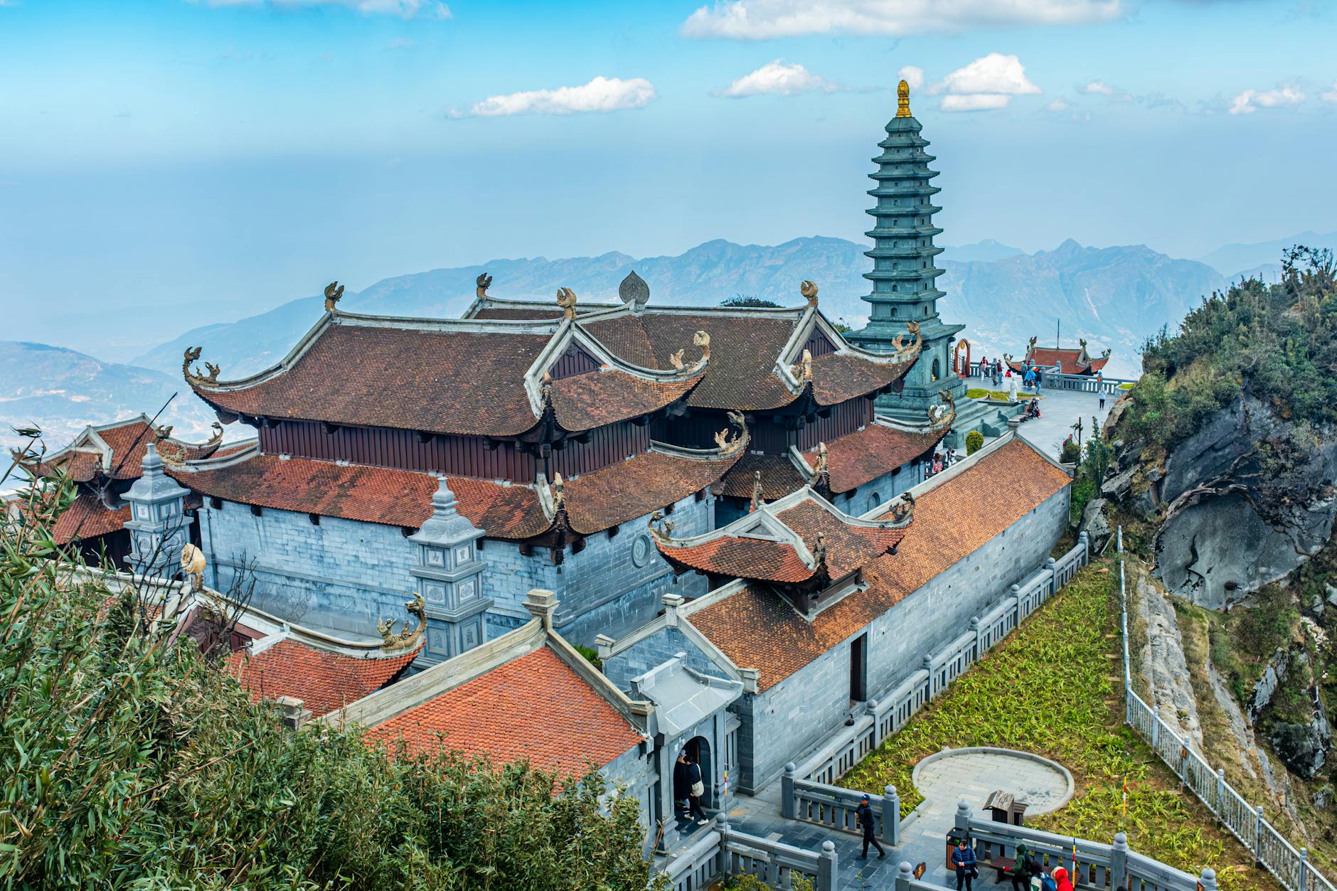
Photo by Quang Nguyen Vinh on Pexels
What to Do
Hike the Main Ridge Trail
The primary route starts from the village at the mountain's eastern base and climbs roughly 450 meters of elevation over 3-4 km. Allow 2-2.5 hours up, 1.5 hours down. The trail is obvious but unmarked — packed dirt switching to exposed rock near the summit. Bring gloves for the final scramble section where you're pulling yourself up root systems.
Visit the Muong Villages Below
The hamlets at the trailhead base still have traditional stilt houses with palm-thatch roofs. People are generally friendly if you're respectful. Don't barge into homes uninvited, but if someone waves you over for tea, accept. You might see women weaving on frame looms under the house — this is real daily life, not a performance.
Catch Sunrise from the Eastern Shoulder
If you stay overnight nearby, a pre-dawn start (leave by 4:30 AM) gets you to a clearing at about 400 meters that faces due east. This is where the dragon's "jaw" drops away and you get an unobstructed horizon. Bring a headlamp — the lower trail has no lighting.
Explore the Tea Hills
Phu Tho's midland tea plantations spread across the rolling hills north of the mountain. The Thanh Son area grows "shan tuyet" varietals — large-leaf tea from old-growth trees. If you pass a processing facility with leaves drying on tarps outside, you can usually buy direct for 150,000-200,000 VND per kilogram.
Connect to Hung Kings Temple
The Hung Kings Festival site in Viet Tri is a natural add-on. The temple complex sits on Nghia Linh mountain and traces the mythological founding of the Vietnamese nation. It's about 40 minutes by motorbike from Nui Dau Rong. Entry is 10,000 VND.
Where to Eat Nearby
Thanh Son town has basic com binh dan (everyday rice) shops along the main road. Look for "com tam" signs — broken rice with grilled pork, a fried egg, and pickled vegetables for 35,000-45,000 VND.
The local specialty worth seeking is "com lam" — sticky rice cooked inside bamboo tubes over charcoal. Muong households sometimes sell this roadside, especially on weekends. Pair it with grilled stream fish if you find a family offering both — expect 80,000-120,000 VND for a full spread.
Where to Stay
Options are limited and basic:
- Homestays in the village (200,000-350,000 VND/night): Floor mattress in a stilt house, shared bathroom, dinner and breakfast usually included at the higher price. Ask around at the trailhead — there's no booking platform.
- Nha nghi in Thanh Son town (250,000-400,000 VND/night): Simple guesthouse rooms with private bathroom, hot water, and wifi. Nothing fancy but clean enough.
- Camping on the mountain: Some hikers pitch a tent at the eastern shoulder clearing. No facilities, no water source above the halfway point. Carry everything in.

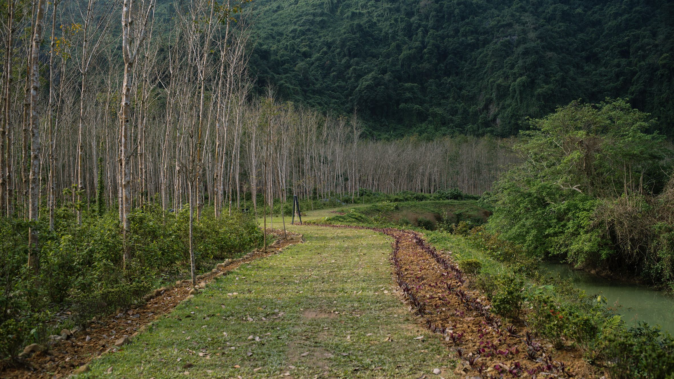
Photo by Quang Nguyen Vinh on Pexels
Practical Tips Locals Would Tell You
- Bring at least 2 liters of water per person. There's one stream crossing at the 1 km mark but nothing reliable above that.
- Leeches are active May through September, particularly after rain. Tuck pants into socks and carry salt or a lighter.
- Phone signal (Viettel) holds until about the 300-meter mark, then drops. Don't rely on GPS mapping apps for the upper trail.
- Tell someone in the village when you're heading up and roughly when you expect to return. This is common courtesy and a basic safety measure.
- The "trail" has at least two false forks — when in doubt, take the path that trends right (south) along the ridgeline.
Common Mistakes to Avoid
- Starting too late. If you begin after 10 AM in warm months, you'll hit peak heat on the exposed upper section. Start by 6-7 AM.
- Wearing sandals. The rocky upper section will punish you. Proper hiking shoes or at minimum sturdy trainers with ankle support.
- Skipping the village. People rush to the trailhead and ignore the settlement below. The cultural layer is half the experience here.
- Expecting signage or infrastructure. There are no trash bins, no bathrooms, no water stations on the trail. Pack out everything you bring in.
Practical Notes
Nui Dau Rong works best as an overnight trip from Hanoi combined with the Hung Kings Temple area or the tea country around Thanh Son. It's not a destination that justifies a multi-day trip on its own, but as a half-day hike with genuine quiet and no tourist infrastructure, it delivers exactly what the midlands do best — the mountain, the trail, and not much else getting in the way.
Last updated · May 27, 2026 · independently researched, never sponsored.