— HẾT —
Cập nhật lần cuối · May 29, 2026 · nghiên cứu độc lập, không tài trợ.
We use minimal analytics + ads (no personal tracking). See our privacy policy.
Five communes across Vietnam — from Ha Giang's peaks to Ca Mau's river delta — where paved roads dissolve and the country gets genuinely remote.

Cập nhật lần cuối · May 29, 2026 · nghiên cứu độc lập, không tài trợ.
Bài viết khác về thành phố này.

Winter in the north is damp, grey, and surprisingly chilly. Forget the tropical gear and pack for layering to survive the humidity.

…
Hotels, homestays, hostels — strongest inventory in Vietnam.
The Wise debit card works well in Vietnam if you know the fee structure. Here's how to use it at ATMs and merchants without losing money on bad rates.

A practical, no-nonsense guide to visiting Phong Nha Cave independently, including how to navigate the boat-sharing system, costs, and what to expect.
Bài viết khác trong vùng này.

The Wise debit card works well in Vietnam if you set it up right. Here's how to avoid fees, use the VND balance, and when it beats alternatives.
Vietnam's wellness scene has matured fast. Here's how to spend 7 days across four retreats — Hoi An, Da Lat, Phu Quoc, and Mai Chau — depending on your pace and budget.

Thousands of foreigners teach English or freelance in Vietnam on tourist visas. Here is what Vietnamese law actually says, when it gets enforced, and how to do it properly.
More articles from the same category.
Yok Don is Vietnam's biggest national park and one of its least-visited. Here's what actually lives inside — and how to do it properly.
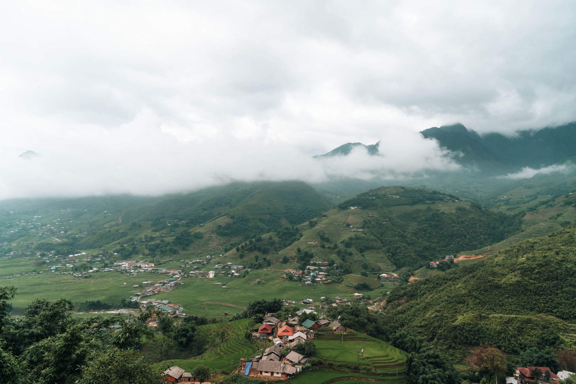
Y Ty is a Ha Nhi ethnic commune in Lao Cai province where sea-of-cloud mornings run from September to March — and almost nobody shows up compared to Sa Pa.

Y Ty's sea of fog is not a rumor — but it only appears reliably for a few weeks a year. Here's when to go, where to stand, and how to sleep close enough to catch it.

Yen Tu in Quang Ninh province is Vietnam's most significant Buddhist pilgrimage site — a forested mountain where a 13th-century king renounced his throne and founded a homegrown school of Zen.
Skip the crowds of Sapa for Y Ty, a remote highland outpost in Lao Cai where clouds settle in the valleys and ancient mud-walled houses dot the terraced hills.

Skip the mega-resort bubble and head south to the An Thoi archipelago. This independent day-trip route covers speedboat logistics, quiet snorkeling spots, and local seafood.
Most travellers in Vietnam (베트남 / 越南 / ベトナム) follow a corridor — Hanoi south to Saigon, maybe a detour to Ha Long Bay or Hoi An. That corridor is well-worn for good reason. But Vietnam is 1,650 km long and deeply varied, and some of its most striking places sit at the end of roads that don't continue.
Here are five communes where the highway gives out and something harder to name begins.
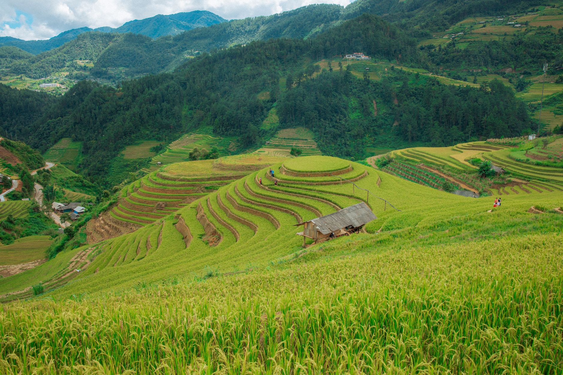
Lung Cu commune sits at the northern tip of Ha Giang province, on the rocky Dong Van Karst Plateau. The road from Dong Van town is about 24 km of switchbacks that climb past Lo Lo Chais stone-walled villages. You'll pass H'Mong and Lo Lo families farming terraced plots at altitude, and if you go in October or November, the buckwheat flowers are still out — small white clusters on hillsides between the corn.
The commune itself is sparse: a few homestays, a small market, the Lung Cu flagpole on a basalt hill. Most visitors come to say they reached the top of the country, but stay a night and the crowds from Dong Van town disappear entirely. Homestay accommodation runs 150,000–200,000 VND per person including dinner. The road is manageable on a semi-automatic motorbike in dry season; after rain, those last few kilometres turn slick and locals know it.
In Nguyen Binh district of Cao Bang, the road to Phia Oac peak and the surrounding commune network climbs into cloud forest that sees almost no foreign visitors. This is the back end of the Ba Be–Nguyen Binh area, distinct from Ba Be Lake itself, which has developed into a reasonably accessible ecotourism site.
Phia Oac rises to 1,931 m and the slopes hold a scatter of Dao and Tay villages. The last 15 km of track into the core of the commune is unpaved and requires a motorbike or 4WD. Cao Bang town is around 80 km away by road. There is a basic national park guesthouse at the trailhead — call ahead, it is not always staffed. This is one of the few places in the north where the forest canopy is intact enough that mornings are genuinely cold and genuinely quiet.

Photo by Quang Nguyen Vinh on Pexels
Quang Binh is well known now among travellers for Phong Nha (퐁냐 / 峰牙 / フォンニャ) and its cave systems. Thuong Hoa commune, in Minh Hoa district about 85 km northwest of the Phong Nha park entrance, is not. It sits close to the Cha Lo border gate corridor, in hill country that the Ruc and Sach ethnic communities have farmed for generations.
The road from Dong Hoi city takes three hours minimum. Accommodation is limited to community homestays that require advance coordination — the district tourism office in Minh Hoa can help arrange this, though English support is minimal. The draw here is not a landmark but texture: markets where Ruc traders sell forest honey and dried herbs, river crossings that are fords not bridges, and a pace that has nothing to do with the tourism economy.
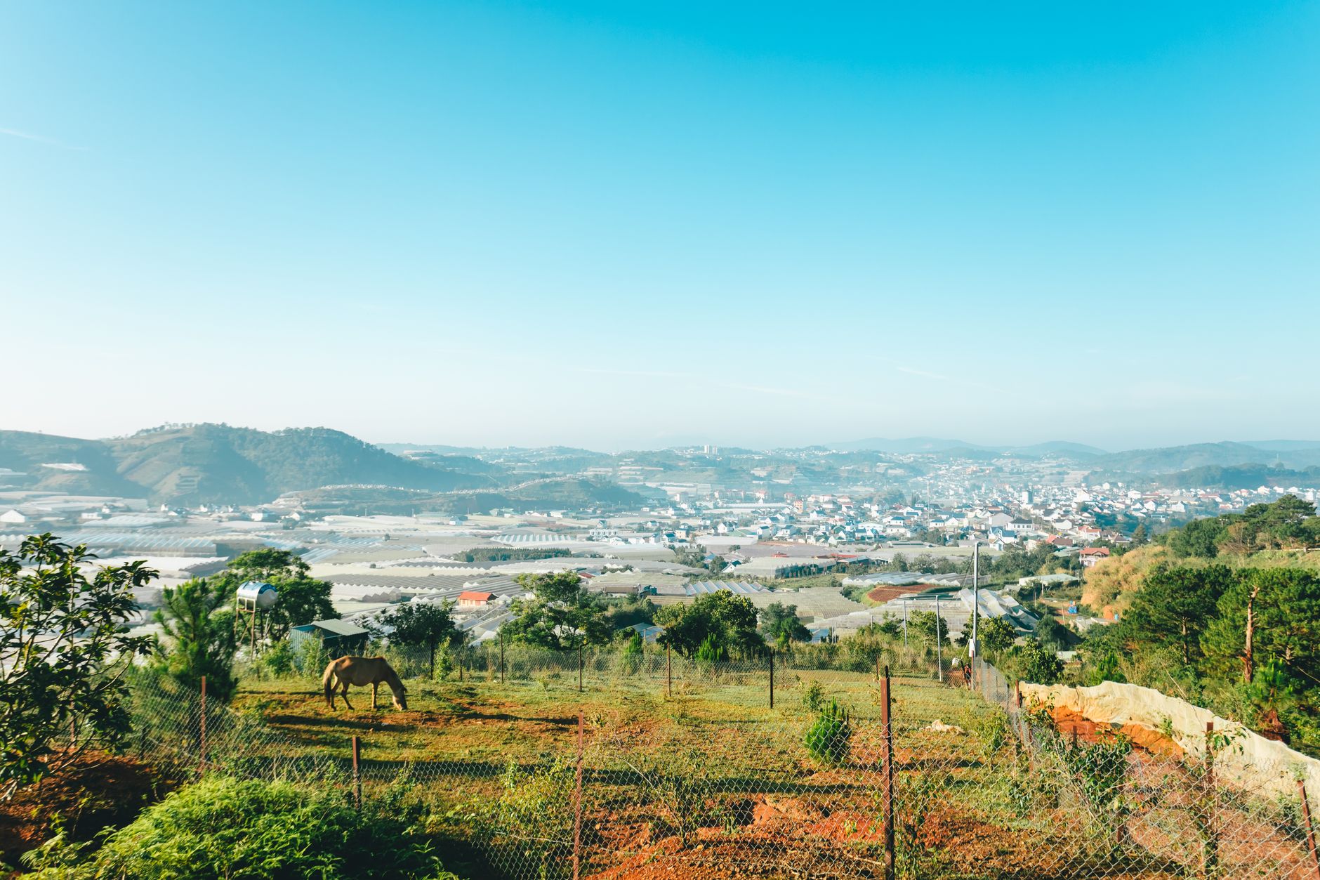
Dak Nong province in the Central Highlands is undervisited relative to its neighbour Da Lat, which draws crowds for its cool climate and French-colonial architecture. Dak Som commune in Dak G'Long district is at the edge of Ta Dung National Park — a reservoir-centred landscape of flooded forest and basalt hills that was only gazetted as a national park in 2018.
The road from Gia Nghia town is about 60 km. A boat is needed to reach the interior of the park from Dak Som, and local fishermen run informal crossings for 50,000–100,000 VND depending on distance. The park has basic overnight facilities inside; the commune itself has a couple of guesthouses. The highland diet here is different from the coast: "com lam" (rice cooked in bamboo), grilled wild boar at roadside stalls, and strong drip coffee grown on the hillsides above the reservoir.
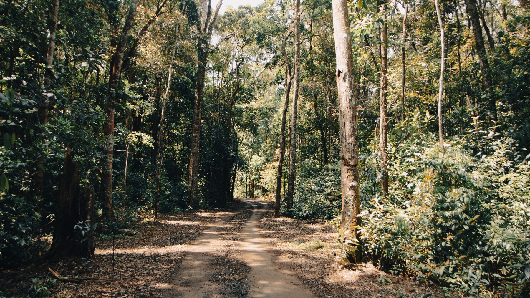
Photo by Tường Chopper on Pexels
Dat Mui is the southernmost commune in Vietnam — the actual land's-end of the country, a mangrove peninsula in Ca Mau province where the Gulf of Thailand meets the East Sea. Getting there from Ca Mau city involves roughly 100 km by road to Nam Can, then a speedboat or slow wooden ferry through mangrove canals to Dat Mui wharf. The speedboat takes 45 minutes; the slow ferry takes two hours and is worth it.
The commune is flat, waterlogged, and built on stilts and boardwalks. The national landmark is a monument at the cape itself, but the reason to come is the ecosystem: the Ca Mau mangrove forest is among the largest in Southeast Asia, and Dat Mui sits inside it. Crab, shrimp, and "ca kho to" (clay-pot caramelised fish) are what you eat here — all sourced from boats that morning. Homestays along the canal charge 200,000–300,000 VND per night. There are no ATMs. Bring cash from Ca Mau city.
None of these communes are on standard tour itineraries, and that is the point. Budget extra days for weather delays — mountain roads in the north close after heavy rain, and southern boat routes are weather-dependent from September to November. For Ha Giang and Cao Bang, the northern loop from Hanoi is the logical base; for Dat Mui, fly into Ca Mau or take an overnight bus from Saigon. Offline maps (Maps.me or downloaded Google Maps tiles) are essential — mobile data thins out fast once the pavement ends.