
What it is
Bai Da Mat Trang — literally "moon rock field" — is a sprawling karst plateau where thousands of grey limestone pillars jut from sparse soil like something from another planet. The formations are the result of millions of years of erosion cutting through ancient seabed limestone, leaving behind jagged towers, pockmarked surfaces, and narrow crevices that genuinely look extraterrestrial.
The site sits in what was formerly Ha Giang province, now part of the expanded Tuyen Quang province following the 2025 administrative merger. For travelers, the practical difference is mostly paperwork and bus routes — the landscape hasn't moved. Bai Da Mat Trang is still up in the Dong Van Karst Plateau area, part of the UNESCO Global Geopark, surrounded by the same dramatic valleys and minority villages that made Ha Giang famous with motorcycle travelers.
Why travelers go
Three reasons, in order of importance:
-
It's genuinely weird. Vietnam has no shortage of karst scenery — Ninh Binh (닌빈 / 宁平 / ニンビン), Ha Long Bay, Phong Nha — but none of those look like this. The rocks here are dark grey to black, sharp-edged, and densely packed. Walking through feels like navigating a coral reef that's been lifted 1,000 meters above sea level.
-
It's still quiet. Unlike the Ma Pi Leng pass or Lung Cu flag tower, Bai Da Mat Trang doesn't appear on most tour itineraries yet. On weekdays you might share the plateau with a handful of local goat herders and nobody else.
-
Photography. The contrast between grey rock, green moss (wet season), and blue sky makes for images that don't need a filter. Golden hour turns the stone field amber.
Best time to visit
The plateau is accessible year-round, but conditions vary significantly:
- October to December: Best overall. Dry, clear skies, temperatures around 15-22°C during the day. The rocks are fully exposed and the light is sharp.
- March to May: Wildflowers appear between the stones. Warmer, occasional mist in the mornings which can be atmospheric or frustrating depending on your patience.
- June to August: Monsoon season. The rocks get slippery, paths flood, and visibility drops. Locals advise against climbing during heavy rain — the limestone becomes genuinely dangerous when wet.
- January to February: Cold (can drop to 5°C at night), occasional frost. Beautiful if you're prepared, but Tet holiday crowds hit the broader region.
How to get there
From Hanoi, the most common route:
-
Bus to Dong Van town: Direct sleeper buses run from My Dinh bus station. The journey takes roughly 7-8 hours. Tickets run 280,000-350,000 VND depending on the operator. Alternatively, take a bus to the provincial capital (now Tuyen Quang city) and transfer — this adds time but breaks the journey.
-
From Dong Van: Bai Da Mat Trang is approximately 15 km north of Dong Van town. You'll need a motorbike (rental in Dong Van: 150,000-200,000 VND/day for a semi-auto, 250,000+ for a manual gear bike) or hire a local "xe om" (motorbike taxi, negotiate 100,000-150,000 VND for a return trip with waiting time).
The road from Dong Van is paved but narrow in sections, with some gravel patches in the final 2 km approaching the site. If you're doing the full Ha Giang Loop (now technically the Tuyen Quang Loop, though nobody calls it that yet), Bai Da Mat Trang slots in as a half-day detour from the Dong Van to Meo Vac segment.
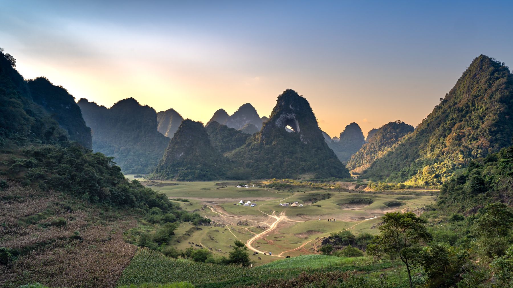
Photo by Quang Nguyen Vinh on Pexels
What to do
Walk the plateau
There's no formal trail system — you pick your way between the rocks. Budget 1.5 to 2 hours for a proper exploration. Wear shoes with grip; flip-flops are a fast route to a sprained ankle. Some rocks are climbable for elevated views, but check stability before committing your weight.
Visit nearby Hmong villages
Several small hamlets sit on the plateau's edge. The villagers are accustomed to occasional visitors but this isn't a tourist zone — don't walk into homes uninvited. If someone offers you corn wine ("ruou ngo"), accept politely. It's strong.
Catch sunset from the eastern rim
The plateau's eastern edge drops away into a valley. If you time it right (arrive by 4:30 PM in autumn), the sunset lights up the opposite cliff face while the rock field behind you goes into shadow. Bring a headlamp for the walk back.
Where to eat
There's nothing at the plateau itself — no vendors, no restaurants. Eat in Dong Van before or after.
- Dong Van market area: Multiple small rice-and-noodle shops. A bowl of "pho (쌀국수 / 越南河粉 / フォー)" or "bun" runs 30,000-45,000 VND. Look for places with locals eating — turnover means fresh broth.
- "Thang co" stalls: This Hmong horse-meat hotpot soup appears at the Sunday market and some daily shops. It's an acquired taste — organ-heavy, medicinal herbs, eaten with rice and corn wine. Try it at least once. Around 40,000-60,000 VND per bowl.
- Local corn and grilled meat: Street-side vendors near the market sell grilled pork skewers (15,000 VND each) and roasted corn. Simple but good after a day on cold rock.
If you're heading toward Meo Vac after, the road has a few "com binh dan" (workers' lunch) spots where 50,000 VND gets you rice, a meat dish, vegetables, and soup.
Where to stay
No accommodation exists at Bai Da Mat Trang. Your options:
- Dong Van town: Guesthouses and homestays range from 150,000 VND (basic fan room, shared bathroom) to 500,000-800,000 VND (renovated rooms with hot water and valley views). Book ahead on weekends October-December.
- Homestays en route: A few Hmong family homestays operate between Dong Van and the plateau. Basic — mattress on floor, shared meal with the family, cold-water wash. Around 200,000-250,000 VND including dinner and breakfast. Ask at Dong Van tourist information or your guesthouse.
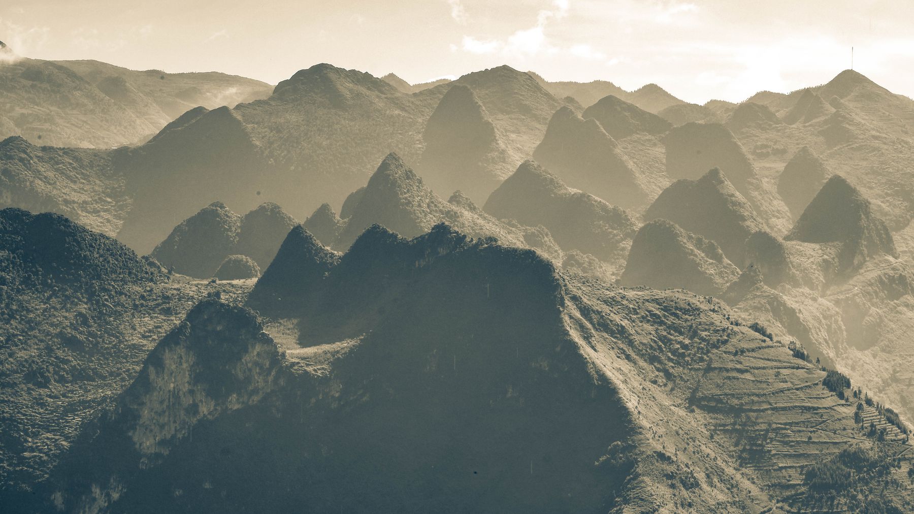
Photo by Du Tử Mộng on Pexels
Practical tips
- Bring water and snacks. Nothing is sold at the site. 1.5 liters minimum per person.
- Sun protection matters. The plateau is exposed with zero shade. Even in cool weather, UV at altitude burns fast.
- Phone signal is patchy. Viettel works best in this area; Mobifone and Vinaphone drop in and out.
- Carry cash. No ATMs near the site. The nearest reliable ATM is in Dong Van town (Agribank).
- Permit note: Foreign travelers previously needed a border-area permit for parts of the Dong Van plateau. Check current requirements at your guesthouse — rules shift periodically.
Common mistakes
- Rushing it. Some riders treat Bai Da Mat Trang as a 15-minute photo stop on the loop. You need at least 90 minutes to get past the entrance rocks and into the deeper formations where it gets truly strange.
- Going midday. The flat light washes everything grey-on-grey. Early morning or late afternoon transforms the place.
- Wearing the wrong shoes. Limestone edges will shred thin soles. Trail shoes or sturdy sneakers minimum.
- Skipping it for Ma Pi Leng. Ma Pi Leng is dramatic but it's a road viewpoint — you look, you photograph, you ride on. Bai Da Mat Trang is a place you actually walk through and inhabit. They're different experiences; do both.
Final note
Bai Da Mat Trang won't stay quiet forever. The Dong Van Geopark area gets more visitors each year, and infrastructure is slowly creeping outward. For now, it's one of the few spots in northern Vietnam where you can stand in a genuinely alien landscape with nobody else around. That's worth the gravel road.
Last updated · May 29, 2026 · independently researched, never sponsored.





