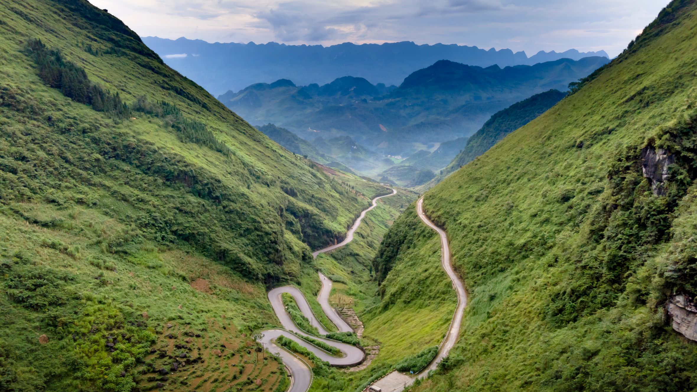
Deo Ngang sits right on the border of Ha Tinh and Quang Binh provinces, where the Hoanh Son range drops into the sea. For centuries, this pass marked the boundary between northern and southern Vietnam (베트남 / 越南 / ベトナム) — culturally, climatically, linguistically. Today it's a quiet stretch of road through coastal jungle that most travelers blast past on the highway below. That's a mistake.
What Deo Ngang is and why it matters
Deo Ngang — literally "Horizontal Pass" — runs over the Hoanh Son spur of the Truong Son range at roughly 250 meters above sea level. The old road (National Route 1A's original alignment) winds about 7 km from the Ha Tinh side to the Quang Binh side. Since the Deo Ngang tunnel opened in 2004, most traffic now bypasses the pass entirely, which is exactly why it's worth riding.
Historically, this was a significant frontier. The famous 19th-century poet Ba Huyen Thanh Quan wrote her best-known verse, "Qua Deo Ngang," while crossing this pass — a poem most Vietnamese can recite from memory. During the American War, the pass and its surrounding coastline saw heavy bombardment. You'll still find old bunkers and observation posts along the ridgeline.
Why travelers go
Deo Ngang isn't a major destination — it's a worthwhile detour. The reasons are simple: a beautiful coastal road with almost no traffic, panoramic views of the coastline from both the Ha Tinh and Quang Binh sides, crumbling historical sites scattered through the jungle, and a stretch of coast that feels genuinely empty. If you're riding between Hue and Phong Nha (or vice versa), this adds maybe 30 minutes to your day and replaces a bland tunnel with something you'll actually remember.
Best time to visit
March through August is the window. April to June is ideal — dry, warm, clear skies, and the vegetation is dense and green. July and August are hotter (35°C+) but still rideable if you go early morning.
Avoid September through November. This stretch of coast gets hammered by storms and heavy rain during those months, and the old pass road can be slippery and partially blocked by fallen branches. December to February is dry but overcast, sometimes foggy on the pass — atmospheric, but you won't get the views.
How to get there
The nearest major hub is Dong Hoi (Quang Binh), about 90 km south. From Dong Hoi, you can:
- Motorbike: The best option. Ride north on the AH1 highway, exit at the old road junction near Quang Dong commune. About 1.5 hours. Rental in Dong Hoi runs 150,000–200,000 VND/day for a semi-auto.
- Private car/taxi: Around 800,000–1,000,000 VND one-way from Dong Hoi. Ask the driver to take the old pass road, not the tunnel.
- Bus: No direct service to the pass itself. You can catch a north-bound bus from Dong Hoi's bus station toward Ha Tinh (around 100,000 VND) and ask to be dropped at the southern foot of the pass, but you'll be walking or hitching from there.
From Ha Tinh city, it's about 70 km south — similar options, roughly 1.5 hours by motorbike.
If you're on a longer route between Hanoi and Hue or heading to Phong Nha (퐁냐 / 峰牙 / フォンニャ), Deo Ngang slots in naturally without a major detour.

Photo by SICULA Đỗ on Pexels
What to do
Ride the old pass road
This is the main event. The 7 km road climbs through dense jungle, with several pull-offs where you can stop and look out over the coastline. The road surface is decent — paved, though cracked in places. Traffic is nearly nonexistent. At the summit, there's a small rest area and the Hoang Son Quan gate, a reconstructed historical gate marking the old provincial boundary.
Walk to the Hoang Son Quan gate and bunkers
From the summit rest area, you can walk along a trail to the old gate and a couple of wartime bunker positions. The trail is short — maybe 15 minutes — but gives you the best elevated view of the coast stretching north and south. Bring water; there's no shade at the top.
Visit Vung Chua - Dao Yen
About 5 km south of the pass on the Quang Binh side, Vung Chua is the burial site of General Vo Nguyen Giap, located on a hill overlooking the sea. It's a peaceful, well-maintained site open to visitors. No entry fee. Respectful dress expected — long pants, covered shoulders.
Explore the coastline at Mui Ron
Mui Ron beach sits at the base of the pass on the Quang Binh side. It's a long, windswept stretch of sand backed by casuarina trees. No resorts, no sunbed rentals, no tourists. Just coast. Swimmable in calm weather from April to July, but check conditions — currents can be strong.
Stop at Deo Con (the smaller pass)
A few kilometers north of Deo Ngang on the Ha Tinh side, Deo Con is a smaller, shorter pass with its own coastal views. If you're already in the area, it takes 20 minutes and rounds out the ride.
Where to eat nearby
The pass itself has no real food options — just a couple of drink vendors at the summit. Eat before or after.
On the Ha Tinh side, Ky Anh town (about 15 km north) has local rice shops serving "com binh dan" — everyday rice plates with grilled fish, braised pork, and greens for 30,000–45,000 VND. Look for places packed with truck drivers; that's your quality signal.
If you're heading south into Quang Binh, Dong Hoi has far more options. Try "banh xeo" — the central Vietnamese version uses smaller, crispier crepes than what you'd get in Saigon — or a bowl of "chao luon" (eel porridge), a regional specialty. A solid bowl runs about 35,000 VND at the local shops near Dong Hoi market.
Where to stay
There's no accommodation on the pass itself. Your options are:
- Ky Anh (Ha Tinh side): Basic nha nghi (guesthouses), 200,000–350,000 VND/night. Clean enough, don't expect much beyond a bed and a fan or AC unit.
- Dong Hoi (Quang Binh side): Full range — hostels from 120,000 VND/bed, mid-range hotels at 400,000–700,000 VND/night, and a few boutique spots closer to 1,500,000 VND. Dong Hoi is the better base if you want a comfortable night.
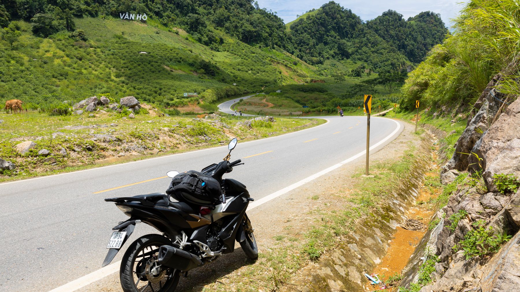
Photo by HONG SON on Pexels
Practical tips locals would tell you
- Ride the pass in the morning. By midday in summer, the asphalt radiates heat and there's little shade on the exposed sections.
- Bring your own water and snacks. The summit vendors aren't always there, especially on weekdays.
- If you're on a motorbike, check your brakes before the descent. The Quang Binh side has a few sharp switchbacks.
- Phone signal is spotty on the pass itself — download offline maps before you go.
- The old road junction isn't well-signed from the highway. On the Quang Binh side, look for the turnoff near km marker 32 north of Dong Hoi.
Common mistakes to avoid
- Taking the tunnel instead: If you tell a taxi or bus driver "Deo Ngang," they'll assume you mean the tunnel route. Be specific — say you want the old road, "duong cu qua deo."
- Showing up in storm season: October is the worst month. Flooding, landslides, and zero visibility on the pass.
- Expecting facilities at the top: No restaurant, no proper toilet, no ATM. Handle logistics in town.
- Rushing through: Some people ride the pass in 15 minutes without stopping. Give it at least an hour — stop at the overlooks, walk to the gate, take in the coastline.
Practical notes
Deo Ngang works best as a half-day detour on a longer route through central Vietnam, especially if you're already heading between Hue and Phong Nha. It pairs well with a night in Dong Hoi and a day trip to Phong Nha caves. No entrance fee, no ticket booth, no crowds — just a good ride through a historically loaded stretch of coast.
Last updated · May 29, 2026 · independently researched, never sponsored.





