Binh Thuan is a coastal province in Vietnam (베트남 / 越南 / ベトナム)'s South Central Coast region, stretching from the highland border with Lam Dong in the north to the South China Sea. It's a destination shaped by geography and history—mountains in the interior, a flat coastline punctuated by islands, and a population that reflects centuries of Cham, Kinh, and ethnic-minority settlement.
Geography and Climate
The province's terrain splits into two zones: mountainous northwest (bordering Lam Dong) and flat coastal plains. The highest peak, 1,548 meters, sits in Tanh Linh District near the Lam Dong border. The coastline is dotted with smaller hills exceeding 200 meters, and several islands lie offshore—Phu Quy island about 120 kilometers southeast of Phan Thiet (a separate district), plus Cau Island in the east, Lao Island near Mui Ne (무이네 / 美奈 / ムイネー), and Ba Island in the west.
Binh Thuan is one of Vietnam's driest provinces. Most of the province receives less than 800 mm of rain annually, and the dry season (November to April) brings rainfall below 200 mm. This arid climate defines the landscape: as of 2007, forests covered 50% of the province (394,100 hectares), concentrated in the mountainous north and northeast, while agricultural land occupied 284,200 hectares—the largest figure among all central-coast provinces.
Major rivers include the Lui River in the east, the Cai River in the center, and the Dinh River in the west; most flow eastward to the sea. Inland, Song Quan Lake lies about 30 kilometers north of Phan Thiet.
Historical Roots: Cham and Vietnamese Integration
Much of present-day Binh Thuan was historically part of Panduranga, a Cham principality. The Cham people inhabited coastal villages for centuries until Vietnamese expansion gradually integrated the region. By 1832, both Ninh Thuan and Binh Thuan were fully integrated into Vietnam.
Administrative boundaries shifted several times in the 20th century. Before 1976, Binh Thuan was smaller, with western areas forming separate Binh Tuy province. In 1976, Binh Tuy, Binh Thuan, and Ninh Thuan merged into Thuan Hai province. In 1991, this was divided again into Ninh Thuan and Binh Thuan, with Binh Tuy reincorporated.
Ethnic Diversity
The Kinh (ethnic Vietnamese) form the majority, but Binh Thuan's ethnic composition reflects its history. Cham communities live in the coastal east, maintaining distinct villages with Cham names such as Cawait (Lac Tri) in Tuy Phong District and Bhumi (Lang Cham) in Ham Tan District. Other minorities—Koho and Raglai peoples—inhabit the mountainous areas along the Lam Dong border. The Hoa (ethnic Chinese) also represent a significant minority.

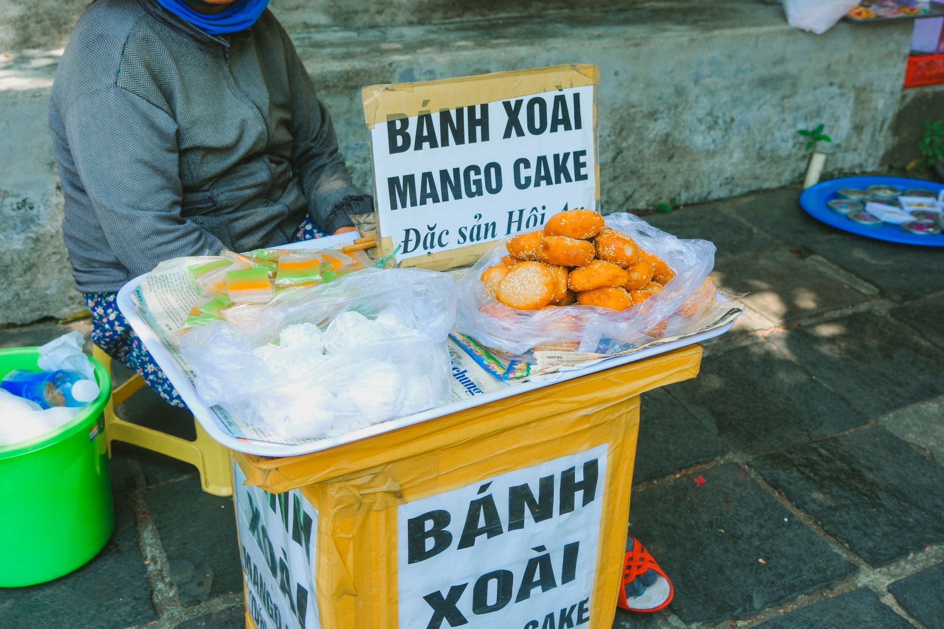
Photo by Serg Alesenko on Pexels
Economy and Resources
As of 2007, Binh Thuan's economy was the fastest-growing in the South Central Coast, with an average annual growth rate of nearly 14%. GDP per capita stood at 11 million VND, ranking third in the region after Da Nang and Khanh Hoa.
Agriculture and Fishing: Rice is the primary crop—434,600 tons harvested in 2007 (up from 321,500 tons in 2000), though rice occupies only about one-third of agricultural land. The province has expanded rubber, pepper, and cashew cultivation. The coastal zone and Phu Quy island offer rich fishing grounds for shrimp, squid, and tuna, though fishing contributes less to the provincial economy than agriculture.
Industry: The industrial sector grew at 21.6% annually through 2007, driven largely by private and foreign-invested firms. State-owned industry declined. Development faced challenges from overlapping land claims with titanium reserves along the western coast.
The province also holds arsenic reserves in the northwestern mountains.
Population and Urbanization
In 2007, Binh Thuan had 1,170,700 people, growing at 1.35% annually (2000-2007). Urban areas expanded faster, at 4.42% per year, raising urbanization from 30.4% (2000) to 37.5% (2007)—second-highest among South Central Coast provinces after Khanh Hoa. Population density varied widely: about 1,000 people per square kilometer in Phan Thiet, but fewer than 100 in districts like Bac Binh, Ham Tan, and Tanh Linh.
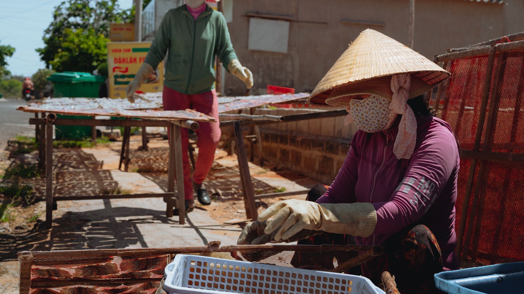
Photo by Theodore Nguyen on Pexels
Main Towns and Districts
Phan Thiet, the provincial capital, is the primary gateway for visitors. The province was administratively divided into 8 districts (Bac Binh, Duc Linh, Ham Thuan Bac, Ham Thuan Nam, Ham Tan, Phu Quy, Tanh Linh, Tuy Phong), 1 district-level town (La Gi), and numerous communes and wards. Phu Quy island, located offshore, constituted its own district and offered a quieter island experience compared to the busier mainland coast.
For Visitors
Binh Thuan's appeal lies in its beaches (particularly Mui Ne and Phan Thiet), island getaways, and access to Cham cultural sites and ethnic-minority villages in the highlands. The arid climate means sunny, dry weather most of the year—ideal for beach time, though the dry season (November to April) is peak tourism. The province's rapid economic growth has expanded infrastructure and accommodation, though much of the interior remains less developed than the coast.
Frequently Asked Questions
Where is Binh Thuan Province located and what does its landscape look like?
Binh Thuan sits on Vietnam's South Central Coast, bordered by Lam Dong province to the northwest and the South China Sea to the east. The terrain divides into two zones: a mountainous northwest with a peak of 1,548 meters in Tanh Linh District, and flat coastal plains dotted with islands. Offshore lie Phu Quy island about 120 kilometers southeast of Phan Thiet, plus Cau, Lao, and Ba islands.
What ethnic groups have historically lived in Binh Thuan Province?
The Kinh (ethnic Vietnamese) form the majority, but Cham communities maintain distinct coastal villages in the east — including Cawait (Lac Tri) in Tuy Phong District and Bhumi (Lang Cham) in Ham Tan District. Koho and Raglai peoples inhabit the mountainous areas along the Lam Dong border, while the Hoa (ethnic Chinese) are also a significant minority. The region was part of Panduranga, a Cham principality, before full Vietnamese integration in 1832.
When is the dry season in Binh Thuan and how dry does it get?
The dry season runs from November to April, when rainfall drops below 200 mm across most of the province. Binh Thuan is one of Vietnam's driest provinces overall, with annual rainfall under 800 mm in most areas. This arid climate shapes the landscape considerably — as of 2007, forests covered 50% of the province (394,100 hectares), concentrated in the wetter mountainous north and northeast.
Last updated · Apr 12, 2026 · independently researched, never sponsored.