Phu Yen province occupies a narrow strip of Vietnam's South Central Coast, squeezed between the highlands and the sea. The province is less developed and less touristy than neighbors like Nha Trang (냐짱 / 芽庄 / ニャチャン) or Hoi An — which means fewer crowds, lower prices, and a genuine working landscape of rice paddies, shrimp ponds, and fishing boats.
Geography and Natural Attractions
The province is split sharply: 70% hilly and mountainous in the west, 30% coastal plain in the east. Two dramatic mountain passes frame it — Cu Mong Pass to the north and Ca Pass to the south — making overland travel feel like genuine exploration.
The Da Rang River, Vietnam (베트남 / 越南 / ベトナム)'s largest river in Central Vietnam, flows through the heart of Phu Yen and creates a fertile lowland around Tuy Hoa, the capital. The highest peaks reach 1,592 meters on the border with Khanh Hoa province.
Coastal attractions include "O Loan Lagoon," a vast shallow lagoon where fishermen work at dawn; "Xep Beach" and "Long Thuy Beach" — long, quiet stretches of sand with a handful of simple restaurants; Nghinh Phong Tower, a restored colonial-era structure with views; and the coconut groves of Song Cau, a working harbor town where you can eat grilled squid feet-wet on the sand.
Inland, Song Hinh Lake in the southwest offers freshwater swimming and a hydropower dam visible from several viewpoints. The lake is artificial but scenic, ringed by hills.
Towns and Getting Around
Tuy Hoa (pronounced "twee wah") is the capital and largest city — about 80,000 people. It sits on National Route 1 and the North-South Railway, so it's easy to reach by bus or train from Nha Trang (3 hours south) or Quy Nhon (2 hours north). The city itself is functional rather than charming: a grid of markets, motorbike repair shops, and basic pho stalls. Stay for a meal and a look at the riverside, not a week.
Song Cau (pronounced "song kow"), in the north, is a genuine fishing port. Arrive early morning to see the boats unload. The waterfront has a few simple seafood restaurants and a growing number of guesthouses catering to backpackers discovering the coast. It's a half-hour from Tuy Hoa by motorbike.
Dong Hoa, in the south, is smaller and less touristy. It sits near Vung Ro Port, a deep-water harbor 28 kilometers south of Tuy Hoa, notable mainly for logistics and industrial activity rather than visitor experience.
Dong Tac Airport, 10 kilometers south of Tuy Hoa, serves domestic flights to Hanoi, Ho Chi Minh City, and Da Nang. Connections are less frequent than from major hubs.

Photo by Quang Nguyen Vinh on Pexels
Climate and When to Go
Phu Yen has a tropical monsoon climate. The dry season (January–August) is the best time: sunny, warm, and calm seas ideal for beach days and lagoon visits. Average temperature holds steady around 26.5°C year-round.
The rainy season (September–December) brings typhoons and rough seas. Annual rainfall averages 1,600–1,700 mm, concentrated in these months. If you go in shoulder months (April–May or late August), expect occasional afternoon showers but manageable conditions.
What to Eat
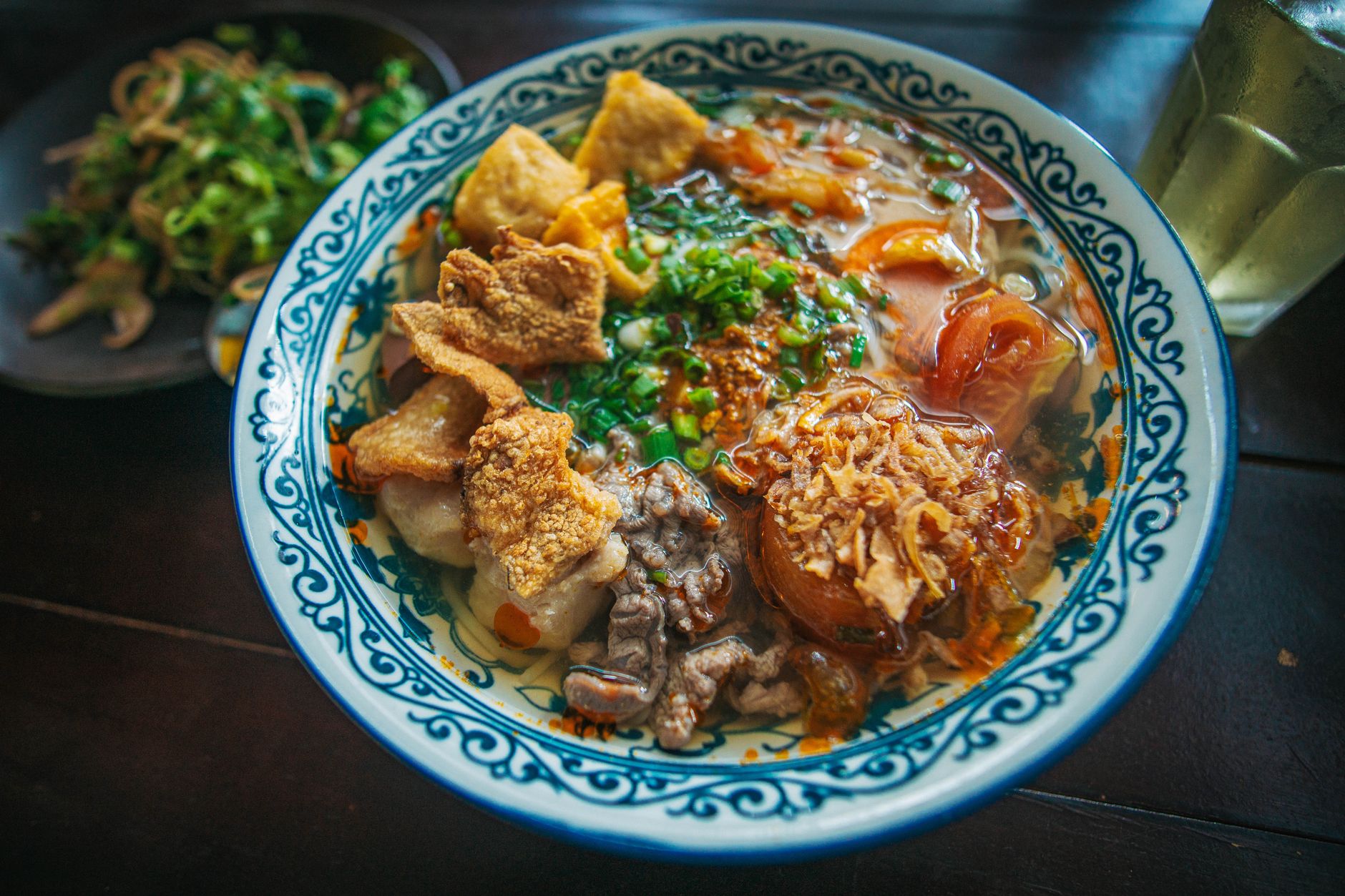
Phu Yen's food is tied to the sea and the rice plain. Expect fresh grilled squid, grouper, and shrimp at waterfront stands. "Com tam" (broken-rice bowls with grilled pork or fish) are a staple and excellent value — 25,000–40,000 VND. Fish sauce is made locally and pungent. Rice wine from the region appears in small ceramic cups at family meals.
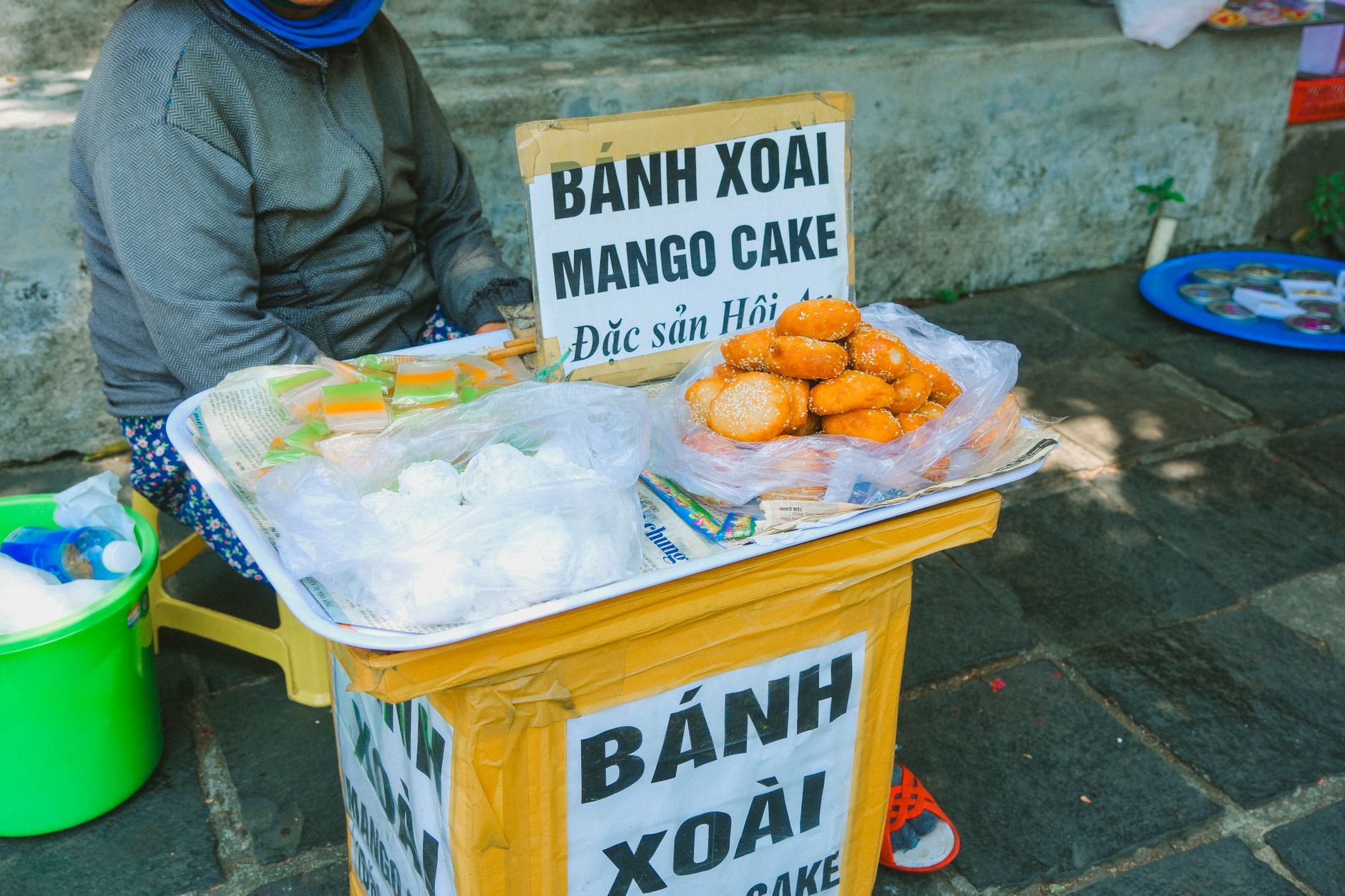
Tuy Hoa's wet market (near the river) opens at dawn and closes by 10 a.m. Vendors sell live crab, fresh herbs, and produce at local prices. Street food appears after 5 p.m. in the central market area.

Photo by ㅤ quang vinh ㅤ on Pexels
Frequently Asked Questions
How do I get to Phu Yen from Nha Trang or Quy Nhon?
Tuy Hoa, Phu Yen's capital, sits on National Route 1 and the North-South Railway. From Nha Trang it is a 3-hour bus or train ride north; from Quy Nhon, 2 hours south. Dong Tac Airport, 10 kilometers south of Tuy Hoa, also serves domestic flights from Hanoi, Ho Chi Minh City, and Da Nang, though connections are less frequent than from major hubs.
What is the best beach or natural attraction to visit in Phu Yen?
O Loan Lagoon is a vast shallow lagoon where fishermen work at dawn and makes for an early-morning visit. Xep Beach and Long Thuy Beach are long, quiet stretches of sand with simple restaurants nearby. Inland, Song Hinh Lake in the southwest offers freshwater swimming with hill views. Song Cau, a working fishing port about 30 minutes from Tuy Hoa by motorbike, has waterfront seafood restaurants on the sand.
When is the best time of year to visit Phu Yen province?
The dry season from January through August is the most reliable period: sunny skies, calm seas, and average temperatures around 26.5 degrees Celsius. The rainy season runs September through December and brings typhoons and rough seas, with annual rainfall averaging 1,600 to 1,700 mm concentrated in those months. Shoulder months of April to May or late August bring occasional afternoon showers but remain manageable.
Practical Notes
Phu Yen is less developed than Khanh Hoa or Quang Nam, so expect fewer English speakers outside Tuy Hoa city and Song Cau's backpacker scene. ATMs and pharmacies exist in Tuy Hoa; bring cash if you venture inland. Mobile coverage (Viettel, Mobifone) is reliable along the coast and main towns.
Administrative divisions include six rural districts, two district-level towns (Dong Hoa and Song Cau), and Tuy Hoa city. Rural areas like Phu Hoa and Son Hoa districts offer motorbike exploration: limestone hills, minority communities (Cham, E De, Ba Na peoples live in pockets), and minimal tourist infrastructure — which appeals to travelers seeking authentic landscape over packaged experience.
Population is roughly 880,000, mostly ethnic Kinh (Vietnamese majority), with significant Cham Muslim communities around Dong Xuan and Son Hoa districts. Cham villages maintain their own mosques and cuisine.
Economy
Phu Yen ranks among the less developed provinces in the South Central Coast. The economy rests on agriculture (rice, sugarcane — it's Vietnam's largest sugarcane producer — cotton, tobacco, pepper, coffee), fishing (aquaculture and ocean fishing combined), and light industry (fish processing, mineral water, beer, cement). Industrial parks near Tuy Hoa and Song Cau are expanding, with a large economic zone developing in southern Dong Hoa aimed at oil refining.
This economic profile means you'll see working agricultural and industrial landscapes, not theme-park development. Roads, ports, and infrastructure are functional but unpolished.
Last updated · May 29, 2026 · independently researched, never sponsored.