What Haiphong Is
Haiphong (Hai Phong) is a working port city of roughly 2 million people in the Red River Delta, about 120 kilometers east of Hanoi. It's not Hoi An or Da Nang—it's a functional industrial center with real docks, shipyards, and freight. That's the point. If you want to see how Vietnam actually moves goods, or you're visiting for family or business, Haiphong rewards an honest look.
The city sits at the mouth of the Cam River and extends into the Gulf of Tonkin, with islands like Cat Ba and Bach Long Vi administratively part of the municipality. The urban core is compact; the broader administrative area covers 3,194 square kilometers.
Geography and Climate
Haiphong's location is strategic: it borders Quang Ninh Province to the north, Bac Ninh to the northwest, Hung Yen to the southwest, and the Gulf of Tonkin to the east. The Binh Bridge spans the Cam River and connects the central districts with outlying areas.
Expect a humid subtropical climate. May through October is the wet season—about 90% of the 1,700 mm annual rainfall falls then. Summers are hot and sticky: June and July average 33 °C (91 °F) highs. Winters are cooler and drier; January and February hover around 20 °C (68 °F) highs. Sea temperature ranges from 21 °C in February to 30 °C in summer, making summer swimming feasible if you're willing to brave the humidity.
The best window for visiting is October through December: the rains have tapered off, temperatures drop to a comfortable 22–27 °C range, and the harbor looks its best under clear skies. March and April are a decent second choice—warm but not yet sweltering, and the occasional drizzle keeps the dust down. Avoid July and August if you can; typhoons occasionally clip the coast, ferries to Cat Ba get cancelled, and the combination of 35 °C heat and near-100% humidity makes walking the city genuinely unpleasant.
Why Haiphong Matters Economically
During the French colonial era, Haiphong was ranked alongside Saigon and Hanoi (하노이 / 河内 / ハノイ) as a first-tier city. The colonial government even considered making it Indochina's economic capital. That infrastructure—docks, railways, industrial zones—still underpins the city today.
Haiphong's state budget revenue grew from 34 trillion VND in 2009 to 56.3 trillion VND by 2015, driven by three sectors: industry, agriculture, and fishery. In Vietnam (베트남 / 越南 / ベトナム)'s Provincial Competitiveness Index 2023, Haiphong scored 70.34, a solid middle position. The city has improved in labor policy and regulatory speed, though transparency and policy consistency remain areas for development.
The port handles cargo for over 40 countries and territories. If you're watching containers move or curious about logistics, the harbor is genuinely impressive.
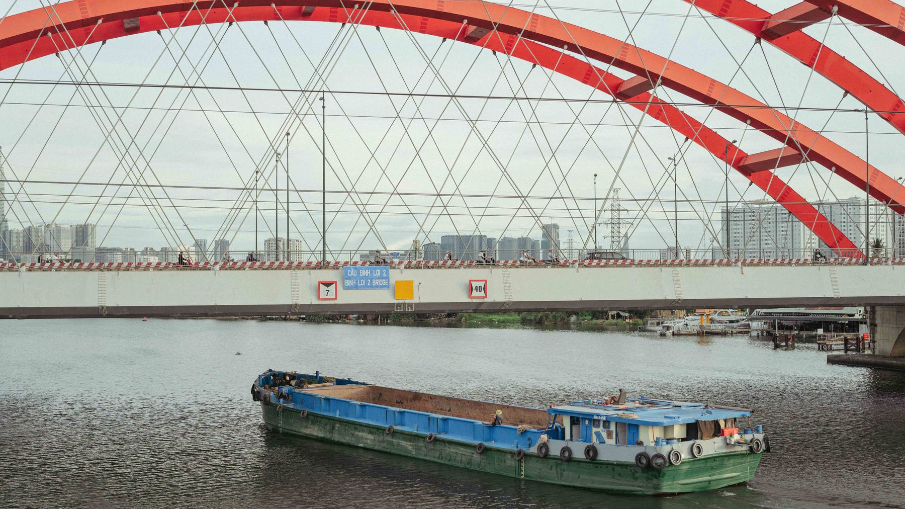
Photo by Theodore Nguyen on Pexels
Industry and Manufacturing
Haiphong manufactures everything: "fish sauce", beer, textiles, paper, motorcycles, ships, steel pipes, and pharmaceuticals. Between 2000 and 2007, shipbuilding, textiles, and plastics manufacturing exploded. PetroVietnam operates a polyester fiber plant here in joint venture with Vinatex, using oil-refining byproducts to reduce Vietnam's fiber imports.
Industry employed roughly 270,000 people as of 2007, with 112,600 new factory jobs created in the preceding seven years. Today, industrial parks are scattered around the city; a walk or drive through them gives a real sense of Vietnam's manufacturing backbone.
Agriculture and Fishing
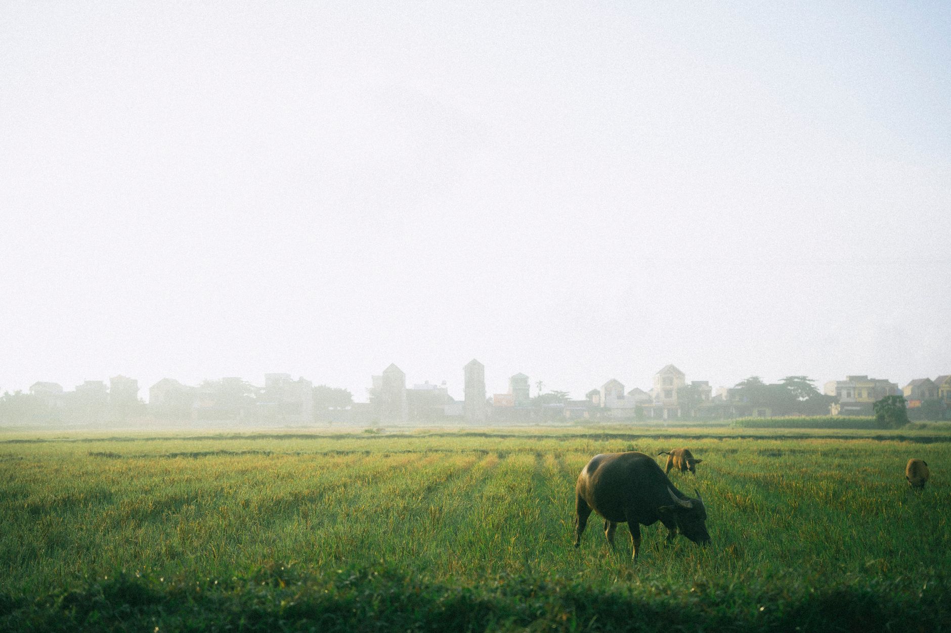
About one-third of Haiphong's land is agricultural: mostly rice (80% of farm area, yielding 463,100 tons in 2007), plus maize, sugar, and peanuts. The fishing sector is equally vital. Total fish catch was 79,705 tons in 2007; aquaculture now accounts for 60% of that output, with sea fishing making up roughly one-fourth.
Agriculture and fishery employed about 315,500 people in 2007. These sectors remain central to Haiphong's identity, not just its economy.
Photo by Thuan Pham on Pexels
Who Lives Here
Haiphong is Vietnam's third-most-populous city. Its metropolitan population is roughly 2.1 million (as of 2015), with nearly even gender distribution. The 2009 census recorded an average annual growth rate of 4%, a crude birth rate of 18.1 per 1,000, and a crude death rate of 7.6 per 1,000. Average life expectancy was 74.5 years (77.1 for women, 72.0 for men)—decent figures for a hardworking industrial city.
Eating in Haiphong
This is where Haiphong genuinely earns a detour. The city has its own food identity, separate from Hanoi's, and locals are proud of it.
The signature dish is "banh da cua"—a crab noodle soup built on wide, reddish-brown rice noodles (the color comes from calamari ink or crab paste mixed into the dough). The broth is loaded with freshwater crab, fried tofu puffs, "cha la lot" (minced pork wrapped in betel leaf), sliced pork roll, and morning glory. A bowl runs 35,000–50,000 VND at most street stalls. Try the cluster of stalls on Hoang Van Thu Street in Hong Bang District—open from around 6:00 AM to 10:00 AM. Ask for "mot bat banh da cua" (one bowl of crab noodle soup) and point at whatever toppings look good.
"Bun ca" (fish noodle soup) is the other local staple. Chunks of fried or poached fish sit in a tomato-based or clear broth over thin rice vermicelli, topped with dill, scallion, and chili. It is lighter than pho and deeply satisfying on a warm morning. Stalls along Dang Hai in Hai An District are reliable; expect to pay around 30,000–40,000 VND.
Haiphong's proximity to the coast means the seafood is notably fresh and cheaper than what you'd pay in Hanoi or Saigon. Grilled squid, steamed clams with lemongrass, salt-and-pepper mantis shrimp—these show up at "quan nhau" (drinking-food restaurants) along the Do Son beachfront road and around Cat Ba harbor. A full seafood spread for two with a few bottles of "bia hoi" (fresh draft beer, around 10,000–15,000 VND per glass) will set you back roughly 300,000–500,000 VND total, which is remarkably cheap for what you get.
For street snacking, look for "banh mi" carts in the morning—Haiphong's version tends toward simpler fillings: pate, sliced pork roll, cucumber, chili sauce. Around 15,000–20,000 VND. If you spot "nem cua be" (fried crab spring rolls), grab a plate. These are a Haiphong specialty: ground crab meat, pork, and mushroom wrapped in rice paper and deep-fried until shattering. They're close cousins of "cha gio" but the crab filling makes them distinctly coastal. Dip them in the sweet fish sauce and try not to order a second plate—you will fail.
For coffee, the city has no shortage of sidewalk "ca phe" spots. Haiphong's cafe culture is more laid-back than Hanoi's—less Instagram, more plastic chairs and conversation. A "ca phe sua da" runs about 20,000–25,000 VND. If you want to try egg coffee, a few newer cafes in Ngo Quyen District have picked it up, though it is still fundamentally a Hanoi thing.
Getting to and Around Haiphong
From Hanoi: The most comfortable option is the Hanoi–Haiphong Expressway, which cut the drive from three-plus hours to about 1.5 hours when it opened. Express buses leave from Gia Lam, Luong Yen, or Nuoc Ngam stations roughly every 20–30 minutes throughout the day; tickets are around 80,000–120,000 VND. The train is slower (about 2.5 hours) but scenic and dirt cheap—hard seats from Hanoi station run about 75,000 VND. Trains depart a few times daily; check schedules at the Hanoi railway station or online.
From Cat Bi Airport: Haiphong has a small domestic airport (Cat Bi, HPH) with direct flights from Saigon (about 2 hours), Da Nang, and a handful of other cities. Vietjet and Vietnam Airlines operate these routes. A taxi from Cat Bi to central Haiphong is about 5 km and costs roughly 80,000–100,000 VND on the meter, or just use Grab.
City transit: Within Haiphong, Grab bikes and Grab cars work fine. The city is flat and compact enough that a motorbike rental (around 120,000–150,000 VND per day) lets you cover the center, the harbor, and Do Son beach in a single day. City buses exist but routes are limited and signage is mostly in Vietnamese—fine if you read the language, frustrating if you don't. Walking the old French quarter from the Opera House through Tran Phu and Dien Bien Phu streets takes about an hour at a comfortable pace.
To Cat Ba Island: Speedboats from Got Ferry Terminal (Ben Binh) reach Cat Ba town in about 45–50 minutes. Tickets run around 200,000–250,000 VND one way. Slower car ferries leave from the same area; these take closer to 2 hours but cost less and carry motorbikes. In peak season (June–August, and around Tet / 越南春节 / テト)), book a day ahead—ferries do fill up.
To Ha Long Bay: You can reach Ha Long Bay from Haiphong by road in about 1.5–2 hours via the coastal highway through Quang Ninh. Some travelers use Haiphong as an alternative base to Ha Long City, particularly if they want a more lived-in, less touristy place to sleep the night before or after a bay cruise.
Visiting Haiphong
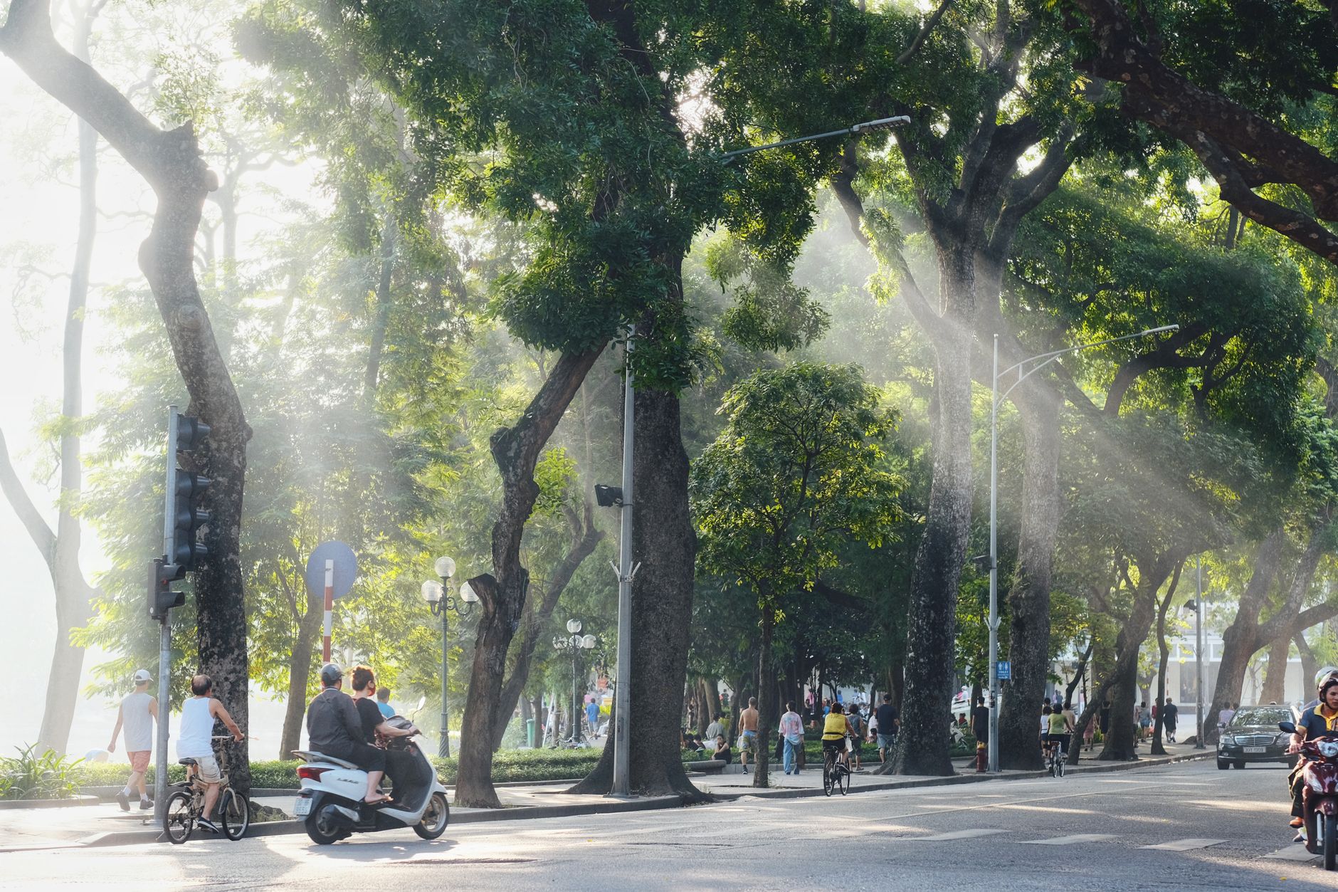
Most visitors pass through on the way to Ha Long Bay or Cat Ba Island. But if you have a day or overnight, Haiphong itself is worth a brief stop. Walk the harbor. Eat fresh "banh hoai" (a local rice-flour crepe) or catch "ca phe sua da" (Vietnamese iced coffee) at a street stall. The city's old French colonial quarter, around Le Chan District, has faded elegance and real character—not tourist-polished, but honest.
The Binh Bridge offers views of the Cam River at sunset. Cat Ba Island, administratively part of Haiphong, is a short ferry ride away and worth its own trip: caves, hiking, swimming, and seafood.
The Haiphong Opera House on Hoang Van Thu Square is a smaller sibling of Hanoi's Opera House—same French colonial architecture, same pale yellow facade, but quieter and usually empty of crowds. Wander a few blocks south into the old quarter and you will find crumbling shophouses with green shutters, tamarind-lined streets, and the kind of atmosphere that Hanoi's Old Quarter had 15 years ago before the tourist money rolled in.
Du Hang Pagoda, in Le Chan District, dates to the 17th century and is one of the oldest Buddhist temples in the northeast. It is small, it is quiet, and on a weekday morning you might be the only visitor. Nearby, the Haiphong Museum covers local history from pre-colonial through modern industrial periods—worth an hour if you want context for everything you are seeing outside.
If you are interested in Vietnamese crafts and traditional villages, the pottery village of Bat Trang near Hanoi is only a two-hour side trip, and Ninh Binh's limestone landscapes are reachable within three hours heading southwest—both pair naturally with a Haiphong stopover for anyone building a northern Vietnam loop.
Haiphong won't feel glamorous or exotic. It feels like what it is: a working city that makes things, moves cargo, and feeds itself. That's exactly why some travelers find it more authentic and memorable than the resort towns.
What Surprises Foreigners About Haiphong
The food is better than you expected. Most people arrive thinking of Haiphong as a transit point and leave thinking about banh da cua. The city's seafood-to-price ratio is among the best in northern Vietnam, and the local dishes are distinct enough from Hanoi's that it feels like a different food region—because it is.
It is not set up for tourists. English signage is sparse outside hotels. Menus at local restaurants are in Vietnamese. Taxi drivers rarely speak English. This is not a complaint—it is just the reality of a city that runs on industry, not tourism. Download Google Translate's offline Vietnamese pack before you arrive. Learn "xin chao" (hello), "cam on" (thank you), and "bao nhieu tien" (how much?) and you will get by.
The colonial architecture is quietly impressive. People who have seen Hanoi's French Quarter are surprised that Haiphong has its own, less photographed and in some ways better preserved simply because fewer people are paying attention to it. The buildings along Dien Bien Phu Street and around the opera house have genuine character.
Traffic is calmer than Hanoi or Saigon. This is relative—it is still Vietnam—but the roads are wider, the density is lower, and you will not experience the same wall-of-motorbikes chaos that defines rush hour in the big two cities. Crossing the street here is merely stressful rather than existential.
Do Son beach is not a resort beach. It is a local beach about 20 km southeast of the city center, popular with Haiphong families on weekends. The sand is fine, the water is murky, and the seafood shacks lining the road are the real draw. Adjust expectations accordingly and you will have a good time. If you want clear water and white sand, take the ferry to Cat Ba instead.
Quick Reference
- Population: ~2.1 million (metro area)
- Distance from Hanoi: 120 km east (1.5 hours by expressway)
- Airport: Cat Bi (HPH), domestic flights to Saigon, Da Nang, and other cities
- Best months to visit: October–December (dry, cool) or March–April (warm, light rain)
- Avoid: July–August (typhoon risk, extreme heat and humidity)
- Budget for a day: 400,000–700,000 VND covers meals, transport, and a coffee or two
- Currency: VND; ATMs widely available in Hong Bang and Ngo Quyen districts
- Language: Vietnamese; very limited English outside international hotels
- Key dishes: banh da cua, bun ca, nem cua be, banh mi
- Ferry to Cat Ba: ~200,000–250,000 VND one way, 45–50 minutes by speedboat
- Grab: Works reliably in central Haiphong
- SIM cards: Available at the airport and phone shops on Lach Tray Street; Viettel or Mobifone, around 100,000–150,000 VND for a tourist SIM with data
Final Note
Haiphong is not trying to charm you. It is not curating an experience or angling for your Instagram post. It is a port city that works for a living, eats well, and happens to sit at the doorstep of some of northern Vietnam's best landscapes. Give it a day—walk the harbor, eat the crab noodles, drink a sidewalk coffee—and you will understand a side of Vietnam that the tourist trail skips entirely.
Last updated · May 29, 2026 · independently researched, never sponsored.