— 終 —
最終更新 · May 29, 2026 · 独自取材、スポンサーなし。
We use minimal analytics + ads (no personal tracking). See our privacy policy.
Bach Ma sits at 1,450 meters above central Vietnam, a cool, fog-wrapped national park most travelers skip entirely while riding between Hue and Da Nang.
最終更新 · May 29, 2026 · 独自取材、スポンサーなし。
この都市に関する他の記事。

Thousands of foreigners teach English or freelance in Vietnam on tourist visas. Here is what Vietnamese law actually says, when it gets enforced, and how to do it properly.

…
Hotels, homestays, hostels — strongest inventory in Vietnam.
The Wise debit card works well in Vietnam if you know the fee structure. Here's how to use it at ATMs and merchants without losing money on bad rates.

Mastering basic time and day markers in Vietnamese will save you from missed buses and confused taxi drivers. Here is the essential cheat sheet for your trip.
この地域の他の記事。
Forget everything you know about standard noodle soup. In the Central Highlands city of Pleiku, the local obsession is 'pho kho', a two-bowl ritual that defines the region's breakfast culture.

Quy Nhon is often overlooked for its neighbors, but its rice-based specialties, particularly the local take on vermicelli, define the city's culinary identity.
Da Lat has quietly become Vietnam's most liveable remote-work base — cool air, cheap rent, and more cafes than you can reasonably test in a month.
More articles from the same category.
Yok Don is Vietnam's biggest national park and one of its least-visited. Here's what actually lives inside — and how to do it properly.
Y Ty is a Ha Nhi ethnic commune in Lao Cai province where sea-of-cloud mornings run from September to March — and almost nobody shows up compared to Sa Pa.

Y Ty's sea of fog is not a rumor — but it only appears reliably for a few weeks a year. Here's when to go, where to stand, and how to sleep close enough to catch it.

Yen Tu in Quang Ninh province is Vietnam's most significant Buddhist pilgrimage site — a forested mountain where a 13th-century king renounced his throne and founded a homegrown school of Zen.
Skip the crowds of Sapa for Y Ty, a remote highland outpost in Lao Cai where clouds settle in the valleys and ancient mud-walled houses dot the terraced hills.

Skip the mega-resort bubble and head south to the An Thoi archipelago. This independent day-trip route covers speedboat logistics, quiet snorkeling spots, and local seafood.
Bach Ma sits at 1,450 meters above central Vietnam (베트남 / 越南 / ベトナム), a cool, fog-wrapped national park most travelers skip entirely while riding between Hue and Da Nang. That is a mistake worth correcting.
The park covers roughly 37,487 hectares on the border of Thua Thien-Hue and Da Nang (다낭 / 岘港 / ダナン) provinces, straddling the Truong Son mountain range. It is one of the wettest places in Vietnam — annual rainfall can exceed 8,000mm near the summit — which is why the forest here feels genuinely different from the scrubby lowland vegetation you see from the highway below. Rhododendrons, tree ferns, and thick moss. Gibbons calling before dawn. Mist that rolls in off the South China Sea and gets stuck against the ridge for days at a time.
The French figured this out in the 1930s and built a hill station here: 139 villas, a tennis court, a post office. Then the wars came, the villas were bombed and abandoned, and the forest grew back over most of what remained. The park was formally established in 1991. The ruins stayed.
Bach Ma is about 40 km south of Hue and roughly 60 km northwest of Da Nang — close enough to day-trip from either city, far enough that most people don't bother. The easiest approach is by motorbike or hired car from Hue via National Highway 1 toward Phu Loc district, then turning uphill at the park gate near Khe Tre village. The road climbs 16 km from the gate to the summit area, gaining around 1,400 meters of elevation. On a motorbike it takes 45-60 minutes up; on a clear morning, the views opening up over the coastal lagoons are reason enough for the ride.
Park entrance is 60,000 VND per person. If you're driving your own vehicle up the summit road, add another 20,000-50,000 VND depending on type. There are guesthouses inside the park (Do Quyen Guesthouse near the summit, Morin Guesthouse lower down) if you want to stay overnight — which you should.
The trail to the Rhododendron area branches off near the summit and takes roughly 2-3 hours return. Peak bloom runs from February through April, when the Vietnamese rhododendron (do quyen) flowers in clusters of deep pink and crimson along the ridge. Outside bloom season the trail is still worth it — the cloud forest is dense, the path is quiet, and you are almost certainly going to have it to yourself on a weekday.
A steeper descent of about 300 steps leads down to Do Quyen waterfall, which drops around 300 meters in a series of cascades. The walk takes 30-40 minutes down, more coming back up. Go early before the clouds close in, which typically happens by mid-morning.
A longer half-day loop connecting five small mountain lakes. The trail involves some scrambling over tree roots and rocks. Ask the park rangers for current conditions before setting out — sections flood heavily after rain and can become genuinely dangerous.
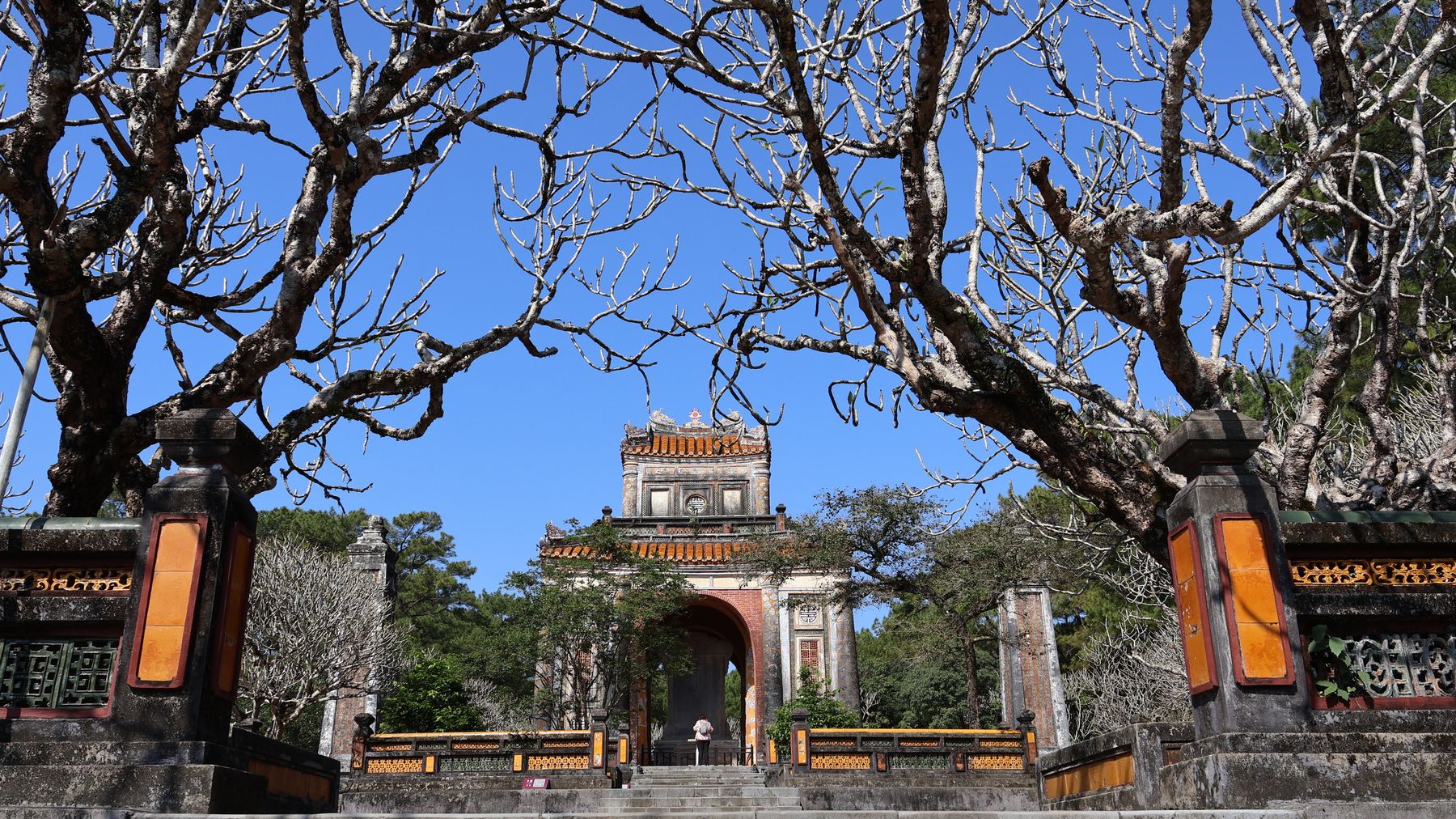
Photo by Minh Lê on Pexels
Near the summit, scattered through the trees, are the shells of villas built between 1932 and 1945. Some are little more than foundation stones and cracked tile floors reclaimed by roots. A few retain walls and stairways. Villa No. 1, closest to the summit viewpoint, is the most intact and has been partially restored. The contrast between the elegant stone construction and the encroaching forest is striking in a way that feels earned rather than staged.
There is no formal tour; you simply walk between them on paths that branch off the main summit road. Allow an hour.
This is the single most important logistical question for Bach Ma. The park receives rain from two distinct monsoon systems, and the fog that makes the summit atmospheric can also shut down views entirely for days.
February through April is generally considered the best window: relatively dry, rhododendrons in bloom, fog present but clearing by late morning on most days. May through August is hotter at lower elevations but still cool at the summit, with clearer afternoons.
September through January is the wet season for central Vietnam — the park can be spectacular in dramatic, moody-cloud way, but expect real rain, leeches on the trails, and the possibility of the summit road closing after heavy precipitation. If you are visiting Hue in October or November, weight your expectations accordingly.
Fog clears most reliably between roughly 9am and 11am on good-weather days before building again in the afternoon. If you are day-tripping from Hue, aim to reach the summit area by 8:30am.
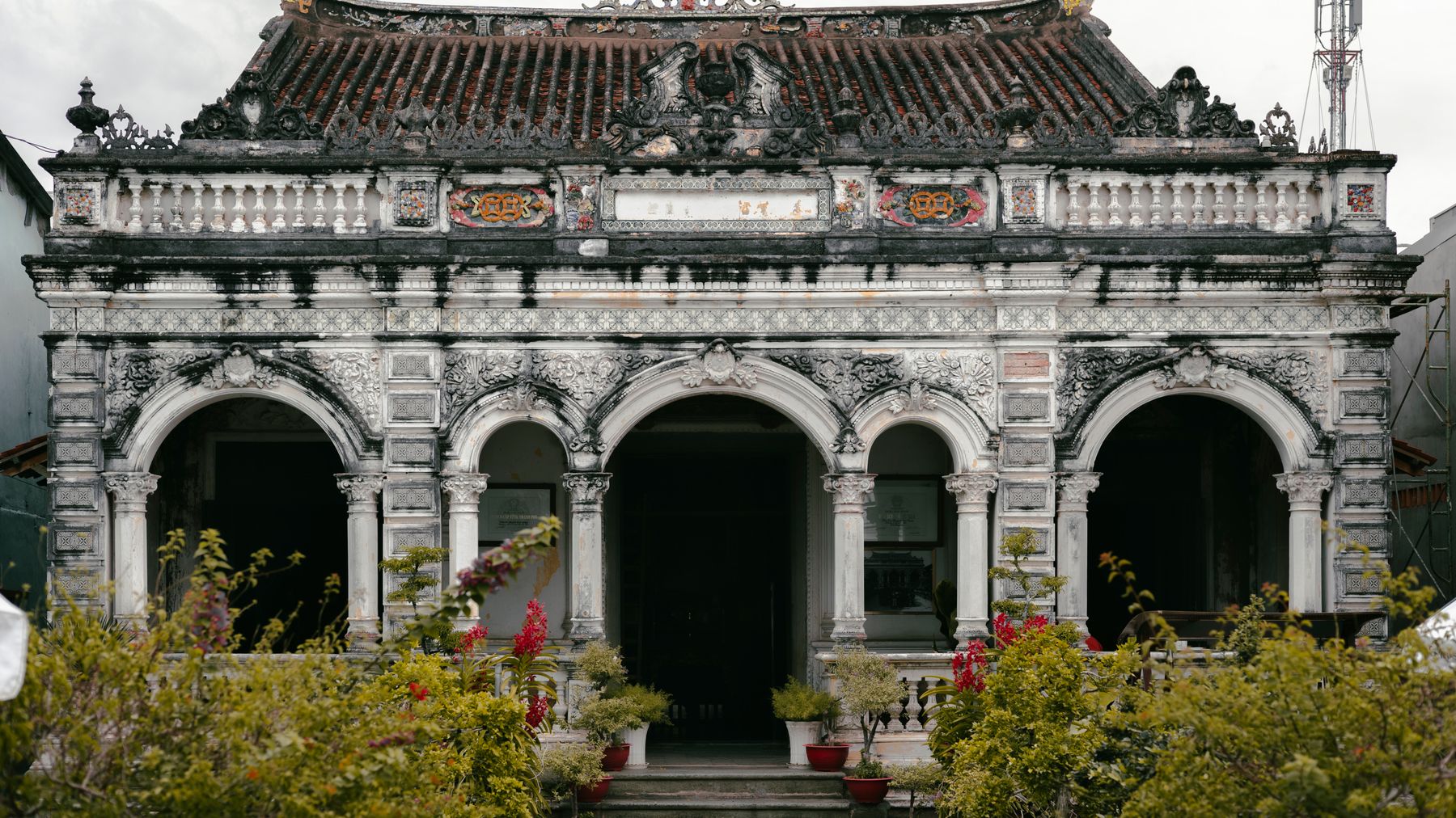
Photo by DUYTRG TRUONG on Pexels
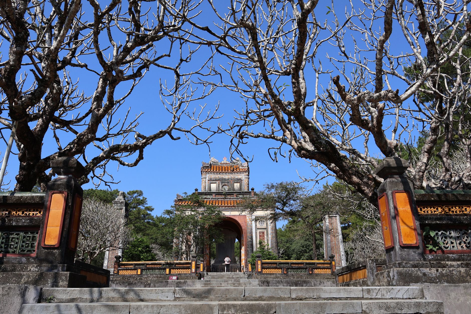
Bach Ma sits within easy reach of several other central Vietnam landmarks worth building into a longer trip. Lang Co — the narrow sand peninsula between the park and Da Nang — makes a good overnight stop on the coast, with seafood restaurants directly on the lagoon. Hue itself anchors the northern end of this route; if you're spending time there, the Tomb of Tu Duc and the Tomb of Khai Dinh are worth a morning before heading south toward the park. For anyone connecting onward to Hoi An or Da Nang, the Hai Van Pass road (just south of Lang Co) is the obvious scenic link.
Bring a waterproof layer regardless of the forecast — the summit is routinely 10-15°C cooler than the coast below and fog can appear without warning. The park canteen near Do Quyen Guesthouse serves basic rice and noodle dishes; don't expect much, and bring snacks if you're planning a long trail day. Leeches are present year-round in the undergrowth; tuck your trousers into your socks and check yourself after any off-path walking.