What Tay Yen Tu actually is
Yen Tu mountain is one of the most important Buddhist sites in northern Vietnam (베트남 / 越南 / ベトナム) — the place where King Tran Nhan Tong abdicated his throne in the 13th century to become a monk and founded the Truc Lam Zen school. Most travelers know the eastern approach from Quang Ninh province, with its cable car and well-trodden pilgrim path. Tay Yen Tu is the western side: a quieter, more forested route that climbs through old-growth woodland and passes a chain of pagodas and hermitages scattered across the slopes.
Following a provincial merger, Tay Yen Tu now falls within Bac Ninh's administrative boundaries (previously it was in Bac Giang's Son Dong district). The landscape hasn't changed — dense canopy forest, mountain streams, stone-step trails — but it's worth noting when you're searching maps or booking transport.
The area was designated a national scenic site and has seen some infrastructure investment in recent years: paved access roads, a visitor center, improved trail markers. It's still far less developed than the eastern Yen Tu route, which is exactly why it's worth the trip.
Why travelers go
Three reasons, honestly. First, the forest. Tay Yen Tu sits inside a biological reserve with some of the best-preserved subtropical forest in the northeast. You're walking under hundred-year-old "lim" and "de" hardwood trees, not along a paved tourist corridor. Second, the pagodas along the trail — places like Kham, Ho Thien, and Thuong — feel genuinely remote. You might share them with a handful of monks and a few local hikers, not busloads of day-trippers. Third, if you've already done the eastern Yen Tu cable car experience and want the other side of the story, Tay Yen Tu gives you the version that requires your legs.
This isn't a wilderness expedition. The trails are marked, there are rest stops, and the total hiking distance is manageable in a day. But it does reward people who like earning their views.
Best time to visit
October through April is the sweet spot. The dry, cooler months (November to February) make the uphill hiking comfortable — temperatures on the mountain sit around 15-22°C, which is pleasant once you're moving. The Yen Tu pilgrimage season peaks around Tet and the spring festival months (January to March on the lunar calendar), which brings more visitors to the eastern side but only modest increases on the western trail.
Avoid June through August if you can. Heavy rain makes the stone steps slippery and leeches come out in force in the wet forest. September is transitional — sometimes fine, sometimes a mudslide waiting to happen.
How to get there from Hanoi
Tay Yen Tu is roughly 150 km northeast of Hanoi. The most practical approach:
By motorbike or car: Take the highway toward Bac Giang city, then continue northeast on provincial roads toward Son Dong. The drive takes about 3-3.5 hours depending on traffic getting out of Hanoi (하노이 / 河内 / ハノイ). Google Maps handles the routing fine — search for "Khu du lich Tay Yen Tu" for the main visitor area. Fuel and "com binh dan" (cheap rice plate) stops are plentiful along the Bac Giang stretch.
By bus + xe om: Catch a bus from Hanoi's My Dinh or Gia Lam station to Bac Giang city (around 70,000-90,000 VND, 1.5-2 hours). From Bac Giang, you'll need to arrange a local car or motorbike taxi to Son Dong — roughly another 60 km, about 80 minutes. Expect to pay 250,000-400,000 VND for a one-way car hire from Bac Giang to the Tay Yen Tu area. There's no convenient direct public bus to the trailhead.
Guided day trip: A few Hanoi-based travel outfits run occasional group trips, especially during spring. Prices hover around 800,000-1,200,000 VND per person including transport and lunch.

Photo by HONG SON on Pexels
What to do
Hike the pagoda trail
The main attraction. The trail climbs from the lowland visitor area through forest to a series of pagodas built into the mountainside. The full route to the upper pagodas and back takes 5-7 hours at a moderate pace, with around 800 meters of elevation gain. Bring water — there are streams but limited vendors once you're past the first checkpoint. The stone steps can be uneven, so proper shoes matter.
Visit the lower pagodas without the full hike
If you're not up for the full climb, the lower section — from the gate area to Kham Pagoda — is a reasonable 1.5-2 hour walk through the best of the forest canopy. You still get the atmosphere without the cardiovascular commitment.
Explore the forest reserve
The Tay Yen Tu nature reserve protects several rare plant and animal species. Birdwatchers have spotted silver pheasants and various hornbills here. Even without binoculars, the biodiversity is obvious — ferns, orchids, massive strangler figs. Early morning is best for wildlife.
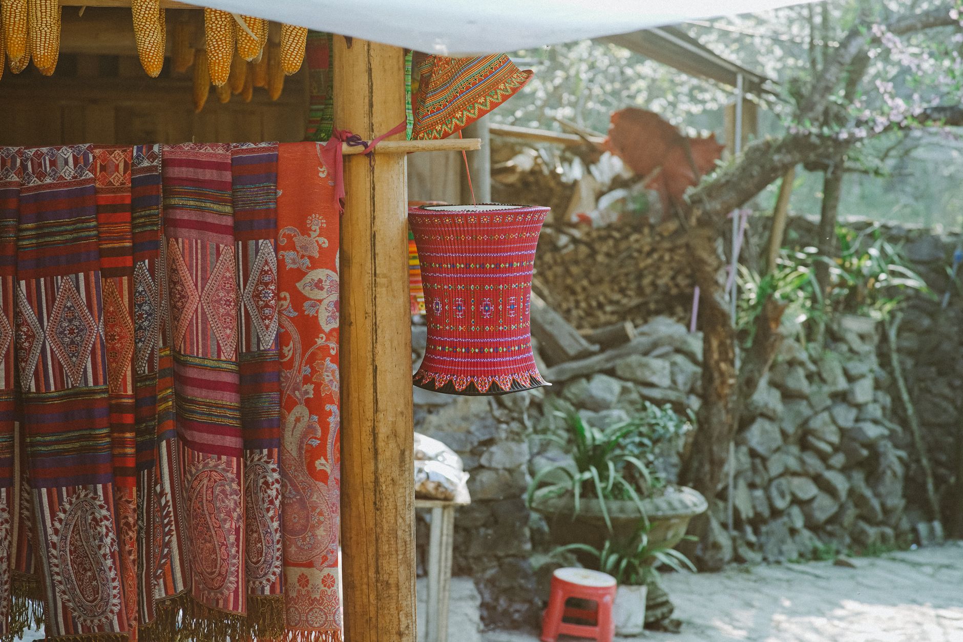
Check out the local Dao and Tay villages
A few ethnic minority communities live in the foothills around Son Dong. If you're driving in, you'll pass through small Dao and Tay hamlets. These aren't set up as tourism destinations, so be respectful — but the weekly markets (usually Sunday mornings) are genuine and worth a stop if your timing lines up.
Where to eat nearby
Don't expect restaurant rows. The visitor center area has a few basic canteens serving "com binh dan" — rice with stir-fried greens, braised pork, and soup for around 40,000-60,000 VND. The local specialty worth seeking is "ga doi" (hill chicken) — free-range birds from the surrounding villages, typically grilled or steamed with lime leaves. It's a northern Vietnamese staple but genuinely better here where the chickens actually roam. A whole chicken dish runs about 250,000-350,000 VND at local eateries in Son Dong town.
If you pass through Bac Giang city on the way back, stop for "banh da ca" — a flat rice noodle soup with freshwater fish that's a Bac Giang signature. It costs about 30,000-40,000 VND a bowl at street stalls near the market area.
Where to stay
Options are limited but growing:
- Homestays near the trailhead: Basic rooms, shared bathrooms, around 200,000-400,000 VND per night. Functional, not fancy. Book ahead on weekends during spring.
- Guesthouses in Son Dong town: A few "nha nghi" (guesthouses) with private rooms, hot water, and Wi-Fi for 300,000-500,000 VND.
- Return to Bac Giang city: If you want more comfort, the hotels in Bac Giang city proper offer standard rooms from 400,000-800,000 VND. It's about an hour's drive back.

Photo by Du Tử Mộng on Pexels
Practical tips locals would tell you
- Bring cash. There are no ATMs at Tay Yen Tu and card payment doesn't exist up there.
- Pack a light rain jacket even in dry season — mountain weather shifts fast.
- Start hiking by 7:00 AM if you're doing the full trail. Afternoon fog rolls in and the descent on wet stone steps in low light is no fun.
- Mosquito repellent is not optional from April onward.
- If you're riding a motorbike, the last 15 km of road into the area has some steep grades. Confident riders only.
Common mistakes to avoid
- Confusing Tay Yen Tu with Yen Tu: They're different sides of the same mountain with completely different access points about 80 km apart by road. If your GPS takes you to Uong Bi in Quang Ninh, you've gone to the wrong Yen Tu.
- Underestimating the hike: The full trail isn't a casual stroll. Flip-flops and no water will make you miserable by hour two.
- Arriving too late: Showing up at noon for a 5-hour hike means you're descending in the dark. Plan accordingly.
- Skipping Son Dong entirely: The town isn't glamorous, but the market and local food make it worth at least an hour on the way in or out.
Practical notes
Tay Yen Tu works best as an overnight trip from Hanoi — drive out in the morning, hike in the afternoon or next morning, return the following day. It pairs well with a broader northeast Vietnam loop if you're heading toward Ha Long Bay or Lang Son. No entrance fee at the time of writing, though the visitor center area charges a small parking fee (10,000-20,000 VND for motorbikes).
Last updated · May 26, 2026 · independently researched, never sponsored.