What Is Nga Ba Dong Duong?
Nga Ba Dong Duong — the Indochina Junction — is the geographic point where the borders of Vietnam, Laos, and Cambodia converge. It sits at the summit of Ngoc Linh mountain range territory in the Central Highlands (중부 고원 / 中部高原 / 中部高原), at roughly 1,086 meters elevation, surrounded by dense tropical forest and the homeland of ethnic minority communities, primarily the Sedang and Gie Trieng peoples.
A concrete marker pillar stands at the tri-point, erected in 2008, with three faces — one pointing toward each country. There's no immigration checkpoint here, no border gate, no town. It's a geographic landmark in deep jungle, and reaching it is the whole point.
For years this area fell under Kon Tum province's administration. Following recent provincial boundary reorganization, the surrounding districts are now associated with the expanded Quang Ngai province. On the ground, nothing has changed — the forests, the trails, and the remoteness are exactly the same.
Why Travelers Go
This isn't a place you visit for a photo and leave. The journey itself — riding motorbikes through highland villages, cutting through forest on dirt tracks, sleeping in stilted houses — is the experience. The tri-border marker is really just the excuse.
People come here for a few reasons: they want to get genuinely off-road in Vietnam (베트남 / 越南 / ベトナム), they're interested in ethnic minority culture without the tourist infrastructure of Sapa or Ha Giang, or they're the type who collects geographic oddities. If you need a pool and reliable Wi-Fi, this isn't your trip.
Best Time to Visit
The dry season from November through April is the only sensible window. The trails to the marker are unpaved, and during the rainy months (May–October) they turn into impassable mud channels. River crossings swell, landslides block tracks, and the jungle canopy traps humidity that makes hiking miserable.
The sweet spot is December to February — cooler temperatures at elevation (dropping to 15°C at night), dry trails, and clear mornings before the highland mist rolls in around midday.
How to Get There
The practical staging point is Kon Tum city, which remains the closest town with proper accommodation and transport options, regardless of administrative boundaries.
From Da Nang: Take a bus from the central bus station to Kon Tum — roughly 5-6 hours, around 150,000–200,000 VND. Several daily departures. Alternatively, rent a motorbike in Da Nang and ride the full route yourself via QL14, which is a solid day's ride through beautiful highland terrain.
From Kon Tum to the border area: You'll head south toward Ngoc Hoi district, then continue west toward the border zone. The total distance from Kon Tum city is approximately 80-90 km, but the last 30 km is rough dirt road that can take 2-3 hours on a motorbike. A car won't make it on the final stretch.
Important: This is a border area. You'll need to register with the local border guard station (Don Bien Phong) before proceeding to the tri-point marker. This is standard procedure — bring your passport, and expect a short paperwork stop. A local guide can handle this for you.

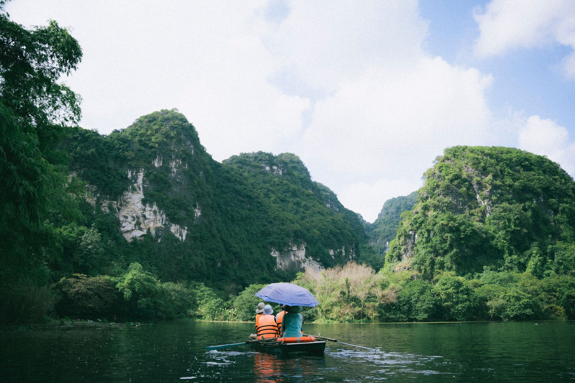
Photo by Haneul Trac on Pexels
What to Do
Ride the Dirt Tracks Through Highland Villages
The road from Ngoc Hoi westward passes through Sedang and Gie Trieng villages where communal "rong" houses — tall, steep-roofed wooden structures — still function as the center of village life. Stop, be respectful, and if someone waves you over, accept the invitation. You may be offered "ruou can" (rice wine drunk through bamboo straws from a communal jar).
Stand at the Tri-Border Marker
The concrete pillar itself isn't going to change your life, but the location is genuinely atmospheric — deep forest, birdsong, no other tourists. Sign the logbook if there is one. The clearing around the marker is small and well-maintained by border guards.
Trek Through Ngoc Linh Forest
The surrounding forest is part of the Ngoc Linh Nature Reserve, home to some of Vietnam's most intact primary forest. If you arrange a guide through Kon Tum (see tips below), multi-day treks into the reserve are possible. This is also the region where "sam Ngoc Linh" — a high-value ginseng species — grows wild.
Visit the Dak Glei War Memorial
Along the route in Dak Glei district, there's a small war memorial and museum documenting the Ho Chi Minh Trail's passage through this area. It's modest but gives context to why these jungle roads exist at all.
Catch a Local Market Morning
The weekly markets in villages along the route are where highland communities trade produce, textiles, and livestock. No souvenirs aimed at tourists — just daily commerce. Saturday and Sunday mornings are most active.
Where to Eat Nearby
Don't expect restaurants on the trail. In Kon Tum city, eat before you go.
Seek out "com tam" (broken rice) at the market stalls near Kon Tum's central market — simple, filling, around 30,000 VND. The local specialty worth trying is "goi la" — a Kon Tum-specific dish where you wrap tiny portions of meat, shrimp paste, and herbs in a variety of forest leaves, each with a different flavor. A full spread runs about 80,000–120,000 VND per person. Look for it at restaurants along Nguyen Hue street in Kon Tum city.
On the trail itself, pack your own food. Instant noodles, bread, fruit, and water. Village homestays may offer rice and simple dishes if you arrange ahead.
Where to Stay
In Kon Tum city, budget guesthouses run 200,000–350,000 VND/night. Mid-range hotels along Phan Dinh Phung street go for 400,000–700,000 VND. Indochine Hotel and Kon Tum Hotel are both reliable.
Closer to the border area, accommodation means village homestays — expect a mat on a wooden floor in a stilted house, shared meals, and cold-water washing. Around 150,000–200,000 VND per person including dinner and breakfast. Your guide will arrange this.

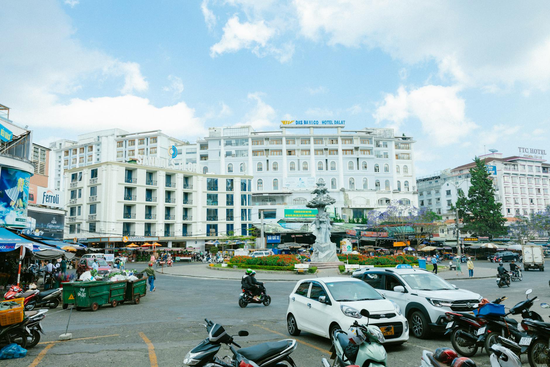
Photo by Thái Trường Giang on Pexels
Practical Tips Locals Would Tell You
- Hire a local guide from Kon Tum. This isn't optional if you want to reach the marker without getting lost or stuck in border-guard bureaucracy. Budget 500,000–800,000 VND/day for a guide with motorbike.
- Bring cash. There are no ATMs past Ngoc Hoi. Bring more than you think you need in small denominations.
- Fuel up in Ngoc Hoi. The last reliable petrol station is in town. Fill your tank and carry a spare liter.
- Pack layers. Elevation means cold mornings, even when Quang Ngai or Da Nang is sweltering at sea level.
- Leeches are real during transitional months (October–November, April–May). Tuck your pants into your socks and carry salt.
Common Mistakes to Avoid
- Going without registering at the border station. You will be turned back, or worse, fined. Don't skip this.
- Attempting the trip in rainy season. Every year someone gets their bike stuck in mud 20 km from help. The dry season exists for a reason.
- Assuming you can do it in a day from Kon Tum. Technically possible, but you'll spend the entire day on a motorbike and have five minutes at the marker. Two days minimum.
- Expecting a tourist experience. There are no ticket booths, no cafes, no viewpoint platforms. This is raw backcountry.
Practical Notes
Nga Ba Dong Duong rewards travelers who are comfortable with uncertainty and rough roads. It's not a destination you recommend to everyone, but for those drawn to the edges of the map, this corner of central Vietnam delivers something most of the country's popular routes cannot — genuine solitude.
Last updated · May 29, 2026 · independently researched, never sponsored.